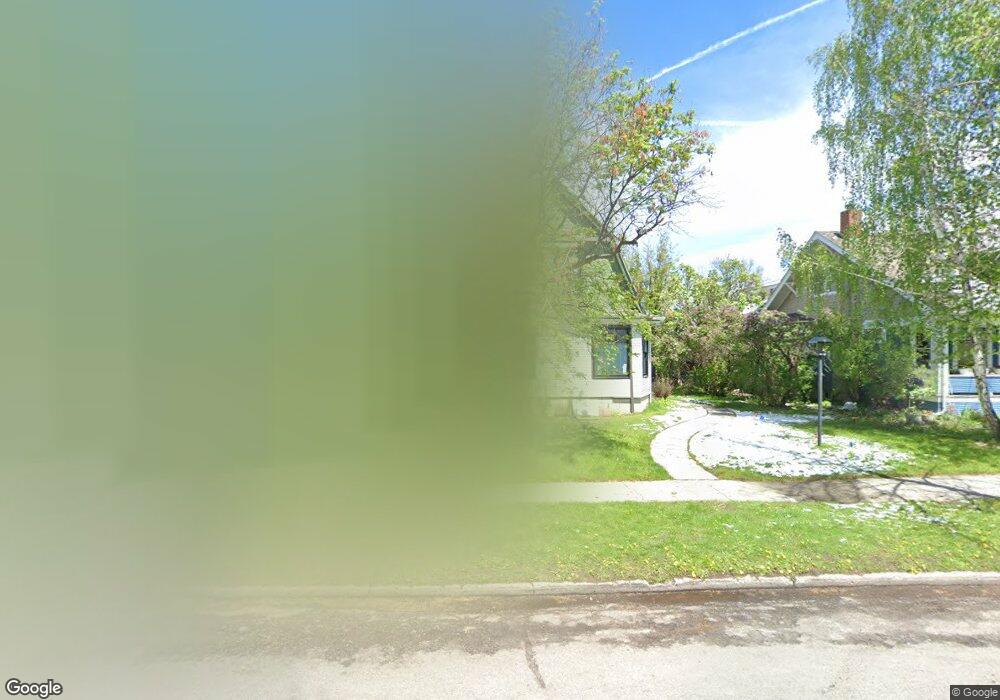
407 W Curtiss St Bozeman, MT 59715
Cooper Park NeighborhoodEstimated Value: $957,000 - $1,150,000
3
Beds
3
Baths
1,645
Sq Ft
$640/Sq Ft
Est. Value
About This Home
This home is located at 407 W Curtiss St, Bozeman, MT 59715 and is currently estimated at $1,052,184, approximately $639 per square foot. 407 W Curtiss St is a home located in Gallatin County with nearby schools including Irving Elementary School, Sacajawea Middle School, and Bozeman High School.
Ownership History
Date
Name
Owned For
Owner Type
Purchase Details
Closed on
Jul 3, 2023
Sold by
Tate Margaret M
Bought by
Hurd Michael W and Hurd Jamie C
Current Estimated Value
Home Financials for this Owner
Home Financials are based on the most recent Mortgage that was taken out on this home.
Original Mortgage
$716,000
Outstanding Balance
$695,243
Interest Rate
6.57%
Mortgage Type
New Conventional
Estimated Equity
$356,941
Create a Home Valuation Report for This Property
The Home Valuation Report is an in-depth analysis detailing your home's value as well as a comparison with similar homes in the area
Home Values in the Area
Average Home Value in this Area
Purchase History
| Date | Buyer | Sale Price | Title Company |
|---|---|---|---|
| Hurd Michael W | -- | Flying S Title And Escrow |
Source: Public Records
Mortgage History
| Date | Status | Borrower | Loan Amount |
|---|---|---|---|
| Open | Hurd Michael W | $716,000 |
Source: Public Records
Tax History
| Year | Tax Paid | Tax Assessment Tax Assessment Total Assessment is a certain percentage of the fair market value that is determined by local assessors to be the total taxable value of land and additions on the property. | Land | Improvement |
|---|---|---|---|---|
| 2025 | $5,069 | $1,029,100 | $0 | $0 |
| 2024 | $6,819 | $1,024,400 | $0 | $0 |
| 2023 | $6,587 | $1,024,400 | $0 | $0 |
| 2022 | $4,694 | $612,100 | $0 | $0 |
| 2021 | $5,180 | $612,100 | $0 | $0 |
| 2020 | $4,623 | $542,100 | $0 | $0 |
| 2019 | $4,730 | $542,100 | $0 | $0 |
| 2018 | $4,120 | $437,500 | $0 | $0 |
| 2017 | $4,080 | $437,500 | $0 | $0 |
| 2016 | $3,725 | $395,500 | $0 | $0 |
| 2015 | $3,729 | $395,500 | $0 | $0 |
| 2014 | $3,632 | $226,734 | $0 | $0 |
Source: Public Records
Map
Nearby Homes
- 416 W Olive St
- 419 S 3rd Ave
- 401 S Grand Ave
- 516 W Olive St
- 418 W Babcock St
- 319 S Willson Ave
- 221 S 7th Ave
- 209 S Tracy Ave
- 718 W Babcock St Unit 411
- 209 S 8th Ave
- 507 S 8th Ave
- 723 S 5th Ave
- 37 W Main St Unit A
- 5 W Mendenhall St Unit 510
- 5 W Mendenhall St Unit 410
- 5 W Mendenhall St Unit 414
- 619 W Harrison St
- 412 S 11th Ave
- 911 S Willson Ave
- 1014 W Dickerson St
- 401 W Curtiss St
- 411 W Curtiss St
- 415 W Curtiss St
- 410 W Curtiss St
- 311 W Curtiss St
- 419 W Curtiss St
- 404 W Olive St
- 412 W Olive St
- 404 W Curtiss St
- Lot 47 Tbd McClure Dr
- Lot 49 Tbd Clancy Way
- Lot 24 Tbd Clancy Way
- Lot 34 Tbd Clancy Way
- Lot 36 Tbd Clancy Way
- Lot 38 Tbd Clancy Way
- Lot 41 Tbd Clancy Way
- Lot 42 Tbd Clancy Way
- Lot 45 Tbd McClure Dr
- Lot 23 Tbd Clancy Way
- Lot 25 Tbd Clancy Way
Your Personal Tour Guide
Ask me questions while you tour the home.