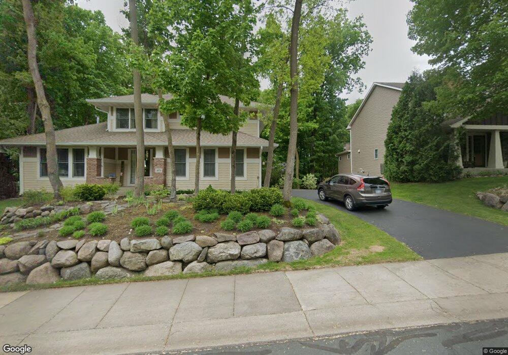
4070 Maple Hurst Dr S Rockford, MN 55373
Estimated Value: $624,000 - $720,000
4
Beds
4
Baths
3,086
Sq Ft
$215/Sq Ft
Est. Value
About This Home
This home is located at 4070 Maple Hurst Dr S, Rockford, MN 55373 and is currently estimated at $663,226, approximately $214 per square foot. 4070 Maple Hurst Dr S is a home located in Wright County with nearby schools including Rockford Elementary Arts Magnet School, Rockford Middle School - Center for Environmental Studies, and Rockford High School.
Ownership History
Date
Name
Owned For
Owner Type
Purchase Details
Closed on
Aug 31, 2017
Sold by
Pierro David C and Pierro Kristine A
Bought by
Vicino Alexander and Vicino Sharyl
Current Estimated Value
Purchase Details
Closed on
Aug 12, 2011
Sold by
Phillips Matthew A and Phillips Amy K
Bought by
Pierro David C and Pierro Kristine A
Purchase Details
Closed on
Apr 27, 2006
Sold by
U S Home Corp
Bought by
Phillips Matthew A and Phillips Amy K
Create a Home Valuation Report for This Property
The Home Valuation Report is an in-depth analysis detailing your home's value as well as a comparison with similar homes in the area
Home Values in the Area
Average Home Value in this Area
Purchase History
| Date | Buyer | Sale Price | Title Company |
|---|---|---|---|
| Vicino Alexander | $480,000 | Title Choice Llc | |
| Pierro David C | $360,000 | -- | |
| Phillips Matthew A | $469,990 | -- |
Source: Public Records
Tax History Compared to Growth
Tax History
| Year | Tax Paid | Tax Assessment Tax Assessment Total Assessment is a certain percentage of the fair market value that is determined by local assessors to be the total taxable value of land and additions on the property. | Land | Improvement |
|---|---|---|---|---|
| 2025 | $7,298 | $609,000 | $90,000 | $519,000 |
| 2024 | $7,030 | $603,700 | $90,000 | $513,700 |
| 2023 | $6,986 | $601,400 | $90,000 | $511,400 |
| 2022 | $6,918 | $543,200 | $85,000 | $458,200 |
| 2021 | $7,140 | $485,200 | $70,000 | $415,200 |
| 2020 | $7,358 | $489,700 | $70,000 | $419,700 |
| 2019 | $7,490 | $473,300 | $0 | $0 |
| 2018 | $6,058 | $464,500 | $0 | $0 |
| 2017 | $5,768 | $403,200 | $0 | $0 |
| 2016 | $5,602 | $0 | $0 | $0 |
| 2015 | $5,510 | $0 | $0 | $0 |
| 2014 | -- | $0 | $0 | $0 |
Source: Public Records
Map
Nearby Homes
- 4090 Maple Hurst Dr S
- 4040 Maple Hurst Dr S
- 4231 Maple Hurst Dr N
- XXX Jansen Ave SE
- 6761 Maple Dr
- 6630 Maple Dr
- 7021 Meadow Ct
- 8130 Ravenrock Rd
- 8041 Prairie Trail
- 8530 Fir St
- 7040 Winfield Rd
- 3439 Hall Ave SE
- 6101 Boulder Ridge Dr
- 8833 Walnut Place
- 8800 86th Ave N
- 8098 26th St SE
- 7175 Sterling Dr
- 7624 Red Fox Trail
- 5523 Basswood Cir
- 7757 Sterling Dr
- 4070 4070 Maple Hurst Dr S
- 4070 4070 Maple Hurst-Drive-s
- 4080 Maple Hurst Dr S
- 4080 4080 Maple Hurst Dr S
- 4060 Maple Hurst Dr S
- XXX Shadow Ridge
- 4071 Maple Hurst Dr S
- 4061 Maple Hurst Dr S
- 3021 Shadow Ridge Dr
- 3021 3021 Shadow Ridge Dr
- 4050 Maple Hurst Dr S
- 4050 4050 Maple Hurst Dr S
- 3031 Shadow Ridge Dr
- 3031 3031 Shadow Ridge
- 4051 Maple Hurst Dr S
- 4051 Maple Hurst Dr S
- 4071 4071 Maple Hurst Dr S
- 4081 Maple Hurst Dr S
- 4061 4061 Maple Hurst-Drive-s
- 4061 4061 Maple Hurst Dr S