Estimated Value: $159,000 - $201,000
--
Bed
--
Bath
1,384
Sq Ft
$129/Sq Ft
Est. Value
About This Home
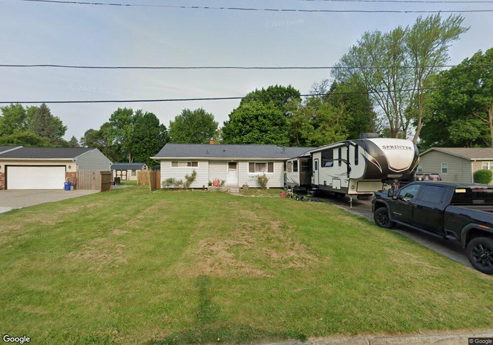
This home is located at 4070 Sam Snead Dr, Flint, MI 48506 and is currently estimated at $179,043, approximately $129 per square foot. 4070 Sam Snead Dr is a home located in Genesee County with nearby schools including Weston Elementary School, Kate Dowdall Elementary School, and Leota Fiedler Elementary School.
Ownership History
Date
Name
Owned For
Owner Type
Purchase Details
Closed on
Nov 2, 2005
Sold by
Taylor Daniel B and Taylor Pamela S
Bought by
Yohannan Misty A
Current Estimated Value
Purchase Details
Closed on
Nov 23, 2004
Sold by
Sfjv 2002-1 Llc
Bought by
Reo Management 2002 Inc
Purchase Details
Closed on
May 17, 2004
Sold by
Fuller Steven M
Bought by
Property Investment Group Inc
Purchase Details
Closed on
Mar 31, 2004
Sold by
Fuller Steven M
Bought by
Sfjv 2002-1 Llc
Purchase Details
Closed on
Mar 28, 2001
Sold by
Boka Darin B and Boka Niki M
Bought by
Fuller Steven M
Create a Home Valuation Report for This Property
The Home Valuation Report is an in-depth analysis detailing your home's value as well as a comparison with similar homes in the area
Home Values in the Area
Average Home Value in this Area
Purchase History
| Date | Buyer | Sale Price | Title Company |
|---|---|---|---|
| Yohannan Misty A | $131,500 | Sargents Title Company | |
| Reo Management 2002 Inc | -- | -- | |
| Property Investment Group Inc | -- | First American Title Ins Co | |
| Sfjv 2002-1 Llc | $106,250 | -- | |
| Fuller Steven M | $117,900 | Cislo Title Company |
Source: Public Records
Tax History Compared to Growth
Tax History
| Year | Tax Paid | Tax Assessment Tax Assessment Total Assessment is a certain percentage of the fair market value that is determined by local assessors to be the total taxable value of land and additions on the property. | Land | Improvement |
|---|---|---|---|---|
| 2025 | $1,712 | $76,800 | $0 | $0 |
| 2024 | $453 | $75,000 | $0 | $0 |
| 2023 | $432 | $68,900 | $0 | $0 |
| 2022 | $1,420 | $60,100 | $0 | $0 |
| 2021 | $1,408 | $54,100 | $0 | $0 |
| 2020 | $395 | $50,600 | $0 | $0 |
| 2019 | $389 | $46,700 | $0 | $0 |
| 2018 | $1,329 | $42,000 | $0 | $0 |
| 2017 | $1,300 | $40,300 | $0 | $0 |
| 2016 | $1,270 | $38,200 | $0 | $0 |
| 2015 | $1,075 | $35,500 | $0 | $0 |
| 2014 | $359 | $31,900 | $0 | $0 |
| 2012 | -- | $32,900 | $32,900 | $0 |
Source: Public Records
Map
Nearby Homes
- 4318 Tommy Armour Dr
- 3413 Blue Lake Dr
- 3414 N Genesee Rd
- 4141 Hidden View Dr
- 5142 Berneda Dr
- 3294 Comer Dr
- 4055 Mitchell Dr
- 5111 Paro Dr
- 4237 Sugar Maple Run Unit 8
- 3301 S Kearsley Blvd
- 4231 Sugar Maple Run Unit 7
- 4455 N Genesee Rd
- 4225 Sugar Maple Run Unit 6
- 4213 Sugar Maple Run Unit 4
- 4419 Maple Leaf Trail
- 4413 Maple Leaf Trail
- 4207 Sugar Maple Run Unit 3
- 4444 Maple Leaf Trail
- 5068 Roberts Dr
- 4438 Maple Leaf Trail
- 4082 Sam Snead Dr
- 4060 Sam Snead Dr
- 4054 Sam Snead Dr
- 4044 Sam Snead Dr
- 4065 Sam Snead Dr
- 4071 Sam Snead Dr
- 4090 Sam Snead Dr
- 4057 Sam Snead Dr
- 4075 Ben Hogan Dr
- 4067 Ben Hogan Dr
- 4036 Sam Snead Dr
- 4083 Sam Snead Dr
- 4051 Sam Snead Dr
- 4059 Ben Hogan Dr
- 4083 Ben Hogan Dr
- 4375 Esta Dr
- 4091 Ben Hogan Dr
- 4026 Sam Snead Dr
- 4330 Tommy Armour Dr
- 4363 Esta Dr