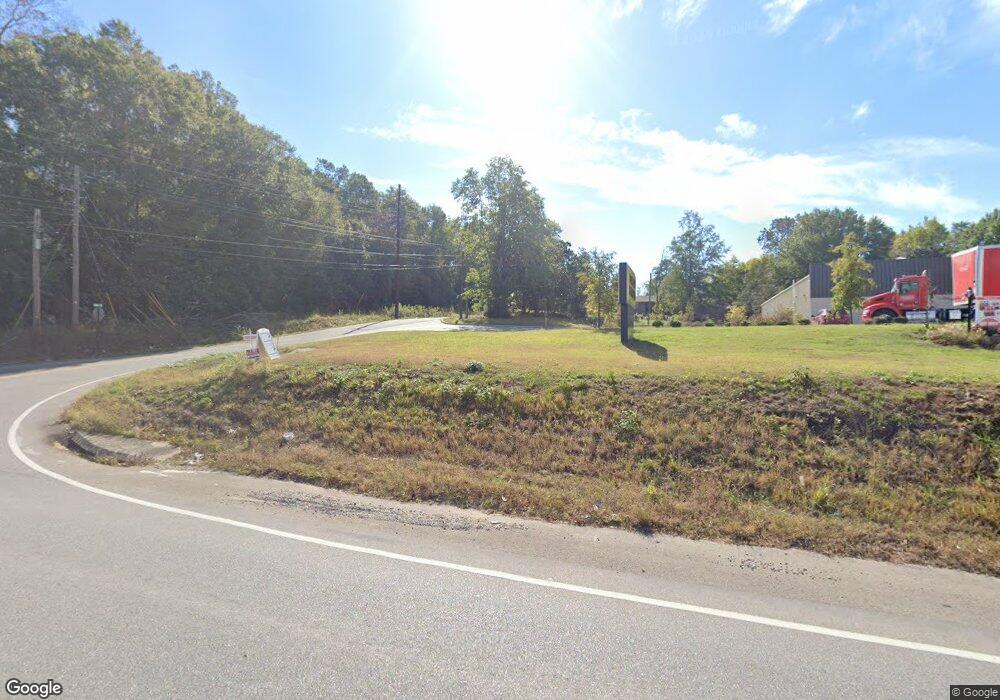
4074 Highway 25 Montevallo, AL 35115
Estimated Value: $189,406 - $199,000
--
Bed
--
Bath
1,755
Sq Ft
$111/Sq Ft
Est. Value
About This Home
This home is located at 4074 Highway 25, Montevallo, AL 35115 and is currently estimated at $194,352, approximately $110 per square foot. 4074 Highway 25 is a home with nearby schools including Montevallo Elementary School, Montevallo Middle School, and Montevallo High School.
Ownership History
Date
Name
Owned For
Owner Type
Purchase Details
Closed on
May 14, 2014
Sold by
Evabank
Bought by
Spinks Jackie N
Current Estimated Value
Home Financials for this Owner
Home Financials are based on the most recent Mortgage that was taken out on this home.
Original Mortgage
$47,155
Outstanding Balance
$25,538
Interest Rate
4.4%
Mortgage Type
Seller Take Back
Estimated Equity
$168,814
Purchase Details
Closed on
Mar 24, 2009
Sold by
Adams Michael T
Bought by
Evabank
Purchase Details
Closed on
Jun 25, 2007
Sold by
Adams Joseph T
Bought by
Adams Michael T
Purchase Details
Closed on
Jul 27, 2004
Sold by
Adams Gladys R and Adams Joseph T
Bought by
Wells Charles Neill and Wells Gertrude T
Create a Home Valuation Report for This Property
The Home Valuation Report is an in-depth analysis detailing your home's value as well as a comparison with similar homes in the area
Home Values in the Area
Average Home Value in this Area
Purchase History
| Date | Buyer | Sale Price | Title Company |
|---|---|---|---|
| Spinks Jackie N | $22,500 | None Available | |
| Evabank | $80,000 | None Available | |
| Adams Michael T | $5,000 | None Available | |
| Wells Charles Neill | $194,900 | -- |
Source: Public Records
Mortgage History
| Date | Status | Borrower | Loan Amount |
|---|---|---|---|
| Open | Spinks Jackie N | $47,155 |
Source: Public Records
Tax History Compared to Growth
Tax History
| Year | Tax Paid | Tax Assessment Tax Assessment Total Assessment is a certain percentage of the fair market value that is determined by local assessors to be the total taxable value of land and additions on the property. | Land | Improvement |
|---|---|---|---|---|
| 2024 | $1,636 | $32,080 | $0 | $0 |
| 2023 | $1,368 | $26,820 | $0 | $0 |
| 2022 | $1,265 | $24,800 | $0 | $0 |
| 2021 | $1,191 | $23,360 | $0 | $0 |
| 2020 | $1,155 | $22,640 | $0 | $0 |
| 2019 | $1,119 | $21,940 | $0 | $0 |
| 2017 | $1,095 | $21,480 | $0 | $0 |
| 2015 | $1,055 | $20,680 | $0 | $0 |
| 2014 | $1,035 | $20,300 | $0 | $0 |
Source: Public Records
Map
Nearby Homes
- 124 Commerce St Unit 1
- 000 Samford St Unit 9
- 200 Buckingham Cir Unit 17
- 550 Middle St
- 242 Vine St
- 260 Vine St
- 230 Doster Dr
- 4817 Alabama 25
- 29 Pioneer Ave
- 676 Jamestown Cir
- 680 Jamestown Cir
- 672 Jamestown Cir
- 668 Jamestown Cir
- 664 Jamestown Cir
- 13707 Highway 73
- 249 Highway 216 Unit 1
- 245 Strother St Unit 22
- 355 Parkway Cir
- 125 Meadow Rd
- 1030 Moody St
- 4094 Highway 25
- 120 Davis St
- 155 Railroad Ave
- 110 Montgomery St
- 125 Dauphin Way
- 158 Selma Rd Unit 1
- 135 Dauphin Way
- 110 Cedar St
- 130 Selma Rd Unit 130 Salem Rd
- 172 Dauphin Way
- 115 Selma Rd
- 150 Dauphin Way
- 119 Selma Rd
- 151 Dauphin Way
- 150 Montgomery St
- 125 Selma Rd
- 204 Cambridge Park Dr
- 208 Cambridge Park Dr
- 212 Cambridge Park Dr
- 15.3 acres Hwy 25
