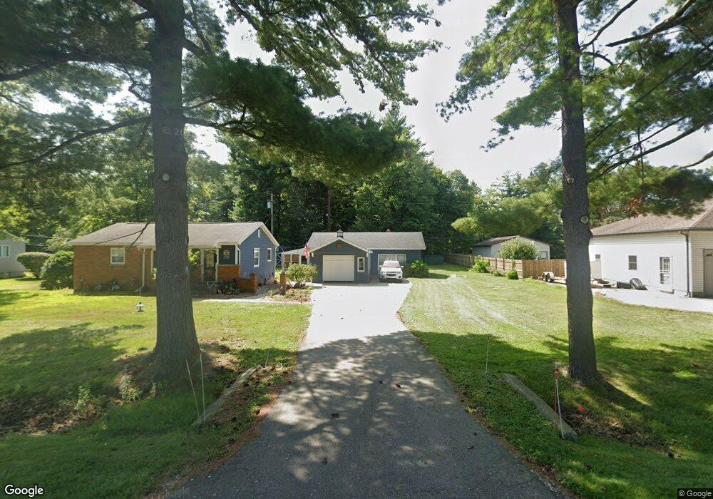
4075 Aletha Ln Port Huron, MI 48060
Estimated Value: $201,000 - $232,000
--
Bed
--
Bath
988
Sq Ft
$224/Sq Ft
Est. Value
About This Home
This home is located at 4075 Aletha Ln, Port Huron, MI 48060 and is currently estimated at $221,391, approximately $224 per square foot. 4075 Aletha Ln is a home located in St. Clair County with nearby schools including Michigamme Elementary School, Central Middle School, and Port Huron High School.
Ownership History
Date
Name
Owned For
Owner Type
Purchase Details
Closed on
Dec 27, 2018
Sold by
Przemytski William P and Przemytski Victoria L
Bought by
Przemytski William P and Przemytski William P
Current Estimated Value
Purchase Details
Closed on
Apr 1, 2005
Sold by
Cendant Mobility Financial Corp
Bought by
Przemytski William P and Przemytski Victoria L
Home Financials for this Owner
Home Financials are based on the most recent Mortgage that was taken out on this home.
Original Mortgage
$116,000
Interest Rate
5.64%
Mortgage Type
New Conventional
Purchase Details
Closed on
Jan 20, 2005
Sold by
Schneider Peter N and Schneider Paula K
Bought by
Cendant Molity Financial Corp
Create a Home Valuation Report for This Property
The Home Valuation Report is an in-depth analysis detailing your home's value as well as a comparison with similar homes in the area
Home Values in the Area
Average Home Value in this Area
Purchase History
| Date | Buyer | Sale Price | Title Company |
|---|---|---|---|
| Przemytski William P | -- | None Listed On Document | |
| Przemytski William P | $145,000 | None Available | |
| Cendant Molity Financial Corp | $145,000 | None Available |
Source: Public Records
Mortgage History
| Date | Status | Borrower | Loan Amount |
|---|---|---|---|
| Previous Owner | Przemytski William P | $116,000 |
Source: Public Records
Tax History Compared to Growth
Tax History
| Year | Tax Paid | Tax Assessment Tax Assessment Total Assessment is a certain percentage of the fair market value that is determined by local assessors to be the total taxable value of land and additions on the property. | Land | Improvement |
|---|---|---|---|---|
| 2025 | $2,418 | $104,700 | $0 | $0 |
| 2024 | $1,272 | $111,000 | $0 | $0 |
| 2023 | $1,174 | $89,500 | $0 | $0 |
| 2022 | $2,170 | $78,100 | $0 | $0 |
| 2021 | $1,986 | $71,100 | $0 | $0 |
| 2020 | $1,986 | $71,500 | $0 | $71,500 |
| 2019 | $1,949 | $55,800 | $0 | $0 |
| 2018 | $1,903 | $55,800 | $0 | $0 |
| 2017 | $1,861 | $59,800 | $0 | $0 |
| 2016 | $977 | $59,800 | $0 | $0 |
| 2015 | -- | $56,900 | $49,000 | $7,900 |
| 2014 | -- | $55,000 | $55,000 | $0 |
| 2013 | -- | $54,300 | $0 | $0 |
Source: Public Records
Map
Nearby Homes
- 3152 Spruce Dr
- 3115 Spruce Dr
- 0000 W Water St
- 3345 Beach Rd
- 4224 Atkins Rd
- 2863 Beach Rd
- 2940 Westland Dr
- 3408 N Burwick Dr
- 4361 Peck Rd
- 3230 Range Rd
- 3971 N River Rd
- 3409 Ancient Dr
- 3993 N River Rd
- 00 Parker Rd
- 3335 W Water St
- 4608 Huntington Dr
- 3560 Milton Rd
- 3228 Turnberry
- 3610 State Rd
- 2475 Sharon Ln