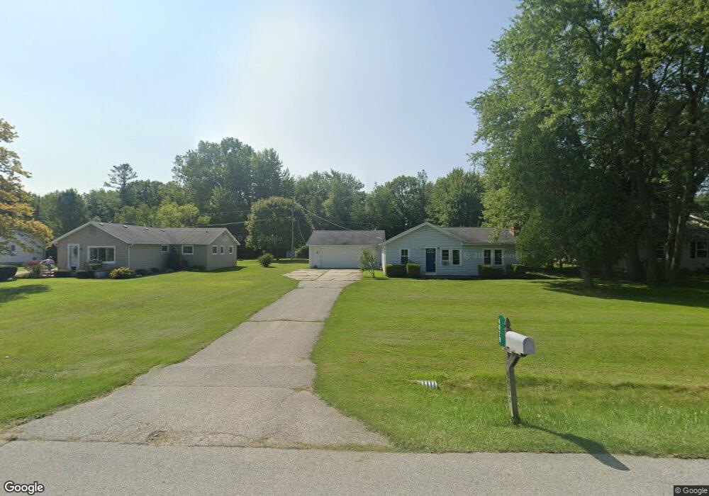
4079 Elaine Ave Port Huron, MI 48060
Estimated Value: $172,000 - $211,000
3
Beds
1
Bath
1,184
Sq Ft
$161/Sq Ft
Est. Value
About This Home
This home is located at 4079 Elaine Ave, Port Huron, MI 48060 and is currently estimated at $190,044, approximately $160 per square foot. 4079 Elaine Ave is a home located in St. Clair County with nearby schools including Michigamme Elementary School, Central Middle School, and Port Huron High School.
Ownership History
Date
Name
Owned For
Owner Type
Purchase Details
Closed on
Jul 1, 2010
Sold by
Lane Barbara J
Bought by
Lane Barbara J and Barbara J Lane Revocable Trust
Current Estimated Value
Purchase Details
Closed on
Mar 6, 2008
Sold by
Citimortgage Inc
Bought by
Federal National Mortgage Association
Purchase Details
Closed on
Feb 28, 2008
Sold by
Arms Jamie and Arms Angela J
Bought by
Citimortgage Inc
Create a Home Valuation Report for This Property
The Home Valuation Report is an in-depth analysis detailing your home's value as well as a comparison with similar homes in the area
Home Values in the Area
Average Home Value in this Area
Purchase History
| Date | Buyer | Sale Price | Title Company |
|---|---|---|---|
| Lane Barbara J | -- | None Available | |
| Federal National Mortgage Association | -- | None Available | |
| Citimortgage Inc | $113,030 | None Available |
Source: Public Records
Tax History Compared to Growth
Tax History
| Year | Tax Paid | Tax Assessment Tax Assessment Total Assessment is a certain percentage of the fair market value that is determined by local assessors to be the total taxable value of land and additions on the property. | Land | Improvement |
|---|---|---|---|---|
| 2025 | $2,615 | $81,000 | $0 | $0 |
| 2024 | $1,798 | $83,900 | $0 | $0 |
| 2023 | $1,685 | $69,300 | $0 | $0 |
| 2022 | $2,355 | $60,500 | $0 | $0 |
| 2021 | $2,187 | $54,600 | $0 | $0 |
| 2020 | $2,187 | $55,100 | $0 | $55,100 |
| 2019 | $2,147 | $39,800 | $0 | $0 |
| 2018 | $2,096 | $39,800 | $0 | $0 |
| 2017 | $2,051 | $43,400 | $0 | $0 |
| 2016 | $1,545 | $43,400 | $0 | $0 |
| 2015 | -- | $45,000 | $44,500 | $500 |
| 2014 | -- | $44,100 | $44,100 | $0 |
| 2013 | -- | $43,700 | $0 | $0 |
Source: Public Records
Map
Nearby Homes
- 3152 Spruce Dr
- 3115 Spruce Dr
- 0000 W Water St
- 2863 Beach Rd
- 4224 Atkins Rd
- 3345 Beach Rd
- 2940 Westland Dr
- 4361 Peck Rd
- 3230 Range Rd
- 3408 N Burwick Dr
- 3409 Ancient Dr
- 3971 N River Rd
- 3993 N River Rd
- 4608 Huntington Dr
- 3335 W Water St
- 00 Parker Rd
- 4460 Cambridge Dr
- 3228 Turnberry
- 4380 Lapeer Rd
- 2475 Sharon Ln