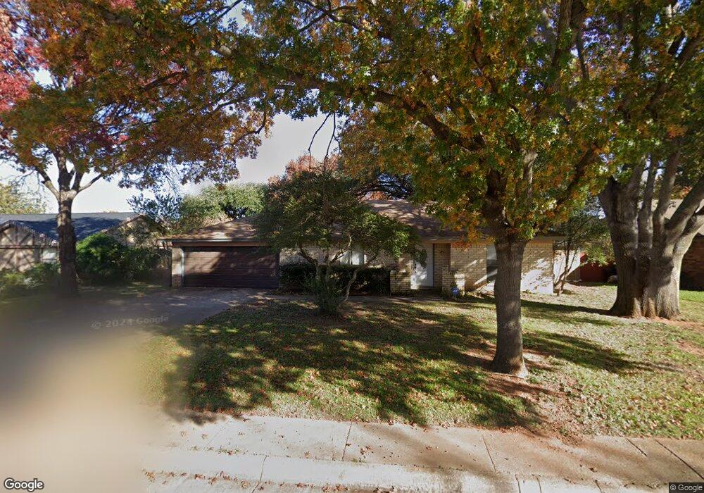
408 Brookside Dr Grapevine, TX 76051
Estimated Value: $407,772 - $478,000
4
Beds
2
Baths
1,602
Sq Ft
$269/Sq Ft
Est. Value
About This Home
This home is located at 408 Brookside Dr, Grapevine, TX 76051 and is currently estimated at $431,693, approximately $269 per square foot. 408 Brookside Dr is a home located in Tarrant County with nearby schools including Cannon Elementary School, Grapevine Middle, and Grapevine High School.
Ownership History
Date
Name
Owned For
Owner Type
Purchase Details
Closed on
Jan 1, 2025
Sold by
Mcclure Michael and Mcclure Selene
Bought by
Quality Spaces Llc-408 Brookside Dr
Current Estimated Value
Purchase Details
Closed on
Jul 9, 2008
Sold by
Merigold John E and Merigold Kerri S
Bought by
Mcclure Michael and Mcclure Selene
Home Financials for this Owner
Home Financials are based on the most recent Mortgage that was taken out on this home.
Original Mortgage
$122,800
Interest Rate
6.11%
Mortgage Type
Purchase Money Mortgage
Purchase Details
Closed on
May 27, 1994
Sold by
Carnes Kenneth Charles and Carnes Valerie Grace
Bought by
Merigold John E and Merigold Kerri S
Home Financials for this Owner
Home Financials are based on the most recent Mortgage that was taken out on this home.
Original Mortgage
$89,315
Interest Rate
8.19%
Mortgage Type
FHA
Create a Home Valuation Report for This Property
The Home Valuation Report is an in-depth analysis detailing your home's value as well as a comparison with similar homes in the area
Home Values in the Area
Average Home Value in this Area
Purchase History
| Date | Buyer | Sale Price | Title Company |
|---|---|---|---|
| Quality Spaces Llc-408 Brookside Dr | -- | None Listed On Document | |
| Quality Spaces Llc-408 Brookside Dr | -- | None Listed On Document | |
| Mcclure Michael | -- | Ticor Title Insurance Co | |
| Merigold John E | -- | American Title Company |
Source: Public Records
Mortgage History
| Date | Status | Borrower | Loan Amount |
|---|---|---|---|
| Previous Owner | Mcclure Michael | $122,800 | |
| Previous Owner | Merigold John E | $89,315 |
Source: Public Records
Tax History
| Year | Tax Paid | Tax Assessment Tax Assessment Total Assessment is a certain percentage of the fair market value that is determined by local assessors to be the total taxable value of land and additions on the property. | Land | Improvement |
|---|---|---|---|---|
| 2025 | $1,722 | $340,000 | $90,000 | $250,000 |
| 2024 | $1,722 | $357,000 | $90,000 | $267,000 |
| 2023 | $5,821 | $347,236 | $85,000 | $262,236 |
| 2022 | $5,933 | $299,490 | $50,000 | $249,490 |
| 2021 | $5,770 | $265,381 | $50,000 | $215,381 |
| 2020 | $5,837 | $265,381 | $50,000 | $215,381 |
| 2019 | $6,052 | $265,381 | $50,000 | $215,381 |
| 2018 | $1,461 | $245,780 | $50,000 | $195,780 |
| 2017 | $5,574 | $241,018 | $50,000 | $191,018 |
| 2016 | $4,987 | $215,626 | $50,000 | $165,626 |
| 2015 | $3,829 | $184,655 | $35,000 | $149,655 |
| 2014 | $3,829 | $166,900 | $25,000 | $141,900 |
Source: Public Records
Map
Nearby Homes
- 2013 Heatherbrook Dr
- 2136 Pritchard Dr
- 2221 Churchill Loop
- 1313 Tillery Ct
- 826 Lake Forest Ct
- 2081 Holt Way
- 305 Bluebonnet Dr
- 1453 Hampton Rd
- 2410 Bowie Ln
- 1428 Hampton Rd
- 941 Meadowbend Loop S
- 6007 Laurel Ln
- 6011 Laurel Ln
- 1206 Hillwood Way
- 1093 Woodbriar Dr
- 2156 Sandell Dr
- 1626 Choteau Cir
- 1546 Dublin Cir
- 605 Drexel Dr
- 1641 Choteau Cir
- 402 Brookside Dr
- 414 Brookside Dr
- 509 Yellowstone Dr
- 505 Yellowstone Dr
- 513 Yellowstone Dr
- 501 Yellowstone Dr
- 2006 Heatherbrook Dr
- 320 Brookside Dr
- 502 Brookside Dr
- 2005 Candle Ct
- 517 Yellowstone Dr
- 1829 Harvest Moon Dr
- 2005 Heatherbrook Dr
- 314 Brookside Dr
- 508 Brookside Dr
- 521 Yellowstone Dr
- 508 Yellowstone Dr
- 2009 Candle Ct
- 504 Yellowstone Dr
- 512 Yellowstone Dr
Your Personal Tour Guide
Ask me questions while you tour the home.