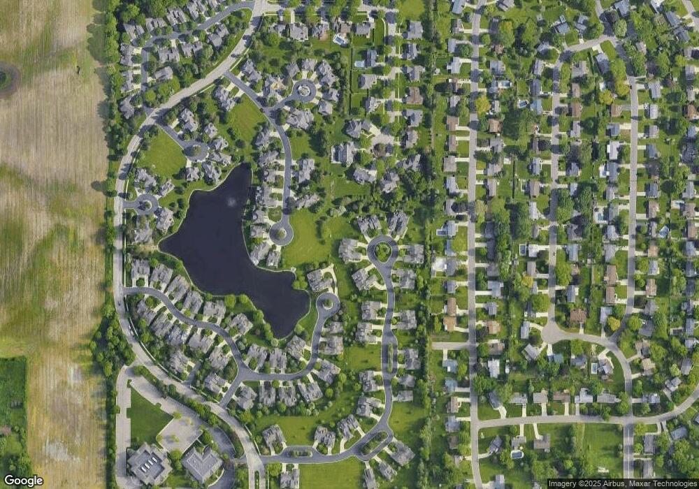
408 Burgenstock Dr Unit 22 Lansing, MI 48917
Estimated Value: $328,000 - $402,000
2
Beds
3
Baths
1,814
Sq Ft
$204/Sq Ft
Est. Value
About This Home
This home is located at 408 Burgenstock Dr Unit 22, Lansing, MI 48917 and is currently estimated at $370,926, approximately $204 per square foot. 408 Burgenstock Dr Unit 22 is a home located in Eaton County with nearby schools including Waverly Senior High School, Greater Lansing Adventist School, and New Covenant Christian School.
Ownership History
Date
Name
Owned For
Owner Type
Purchase Details
Closed on
Nov 21, 2005
Sold by
Auto Owners Insurance Co
Bought by
Hall John R and Hall Cosima
Current Estimated Value
Home Financials for this Owner
Home Financials are based on the most recent Mortgage that was taken out on this home.
Original Mortgage
$163,000
Outstanding Balance
$90,182
Interest Rate
6.2%
Mortgage Type
Fannie Mae Freddie Mac
Estimated Equity
$280,744
Create a Home Valuation Report for This Property
The Home Valuation Report is an in-depth analysis detailing your home's value as well as a comparison with similar homes in the area
Home Values in the Area
Average Home Value in this Area
Purchase History
| Date | Buyer | Sale Price | Title Company |
|---|---|---|---|
| Hall John R | $330,170 | Trans |
Source: Public Records
Mortgage History
| Date | Status | Borrower | Loan Amount |
|---|---|---|---|
| Open | Hall John R | $163,000 |
Source: Public Records
Tax History Compared to Growth
Tax History
| Year | Tax Paid | Tax Assessment Tax Assessment Total Assessment is a certain percentage of the fair market value that is determined by local assessors to be the total taxable value of land and additions on the property. | Land | Improvement |
|---|---|---|---|---|
| 2025 | $6,449 | $198,000 | $0 | $0 |
| 2024 | $3,707 | $193,500 | $0 | $0 |
| 2023 | $3,564 | $192,900 | $0 | $0 |
| 2022 | $5,623 | $179,800 | $0 | $0 |
| 2021 | $5,438 | $172,700 | $0 | $0 |
| 2020 | $5,584 | $163,000 | $0 | $0 |
| 2019 | $5,549 | $153,438 | $0 | $0 |
| 2018 | $5,452 | $148,400 | $0 | $0 |
| 2017 | $5,324 | $134,800 | $0 | $0 |
| 2016 | -- | $124,500 | $0 | $0 |
| 2015 | -- | $120,700 | $0 | $0 |
| 2014 | -- | $112,572 | $0 | $0 |
| 2013 | -- | $110,800 | $0 | $0 |
Source: Public Records
Map
Nearby Homes
- 6025 Madeira Dr Unit 111
- 6036 Madeira Dr Unit 100
- 5538 W St Joe Hwy
- 5525 W St Joe Hwy Unit A8
- 6019 Montevideo Dr Unit D
- 929 Grenoble Dr Unit B
- 1005 Grenoble Dr Unit H
- 1010 Grenoble Cir
- 2122 NE 14th Place
- 2517 W Michigan Ave
- 1212 Bennington Dr
- 4819 Moultrie Cir
- 1130 Vail Ct Unit 25
- 916 Westover Cir
- 1109 Boulder Ct Unit 46
- 1018 Pickton Dr
- 4616 W St Joe Hwy
- 401 Richard Ave
- 7119 Ravenna Trail Unit 73
- 7115 Ravenna Trail Unit 74
- 410 Burgenstock Dr Unit 21
- 404 Burgenstock Dr Unit 23
- 416 Burgenstock Dr Unit 20
- 402 Burgenstock Dr Unit 24
- 418 Burgenstock Dr Unit 19
- 5864 Vienna Way Unit 119
- 5862 Vienna Way Unit 120
- 5862 Vienna Way
- 401 Burgenstock Dr Unit 25
- 403 Burgenstock Dr Unit 26
- 417 Burgenstock Dr Unit 29
- 411 Burgenstock Dr Unit 28
- 500 Burgenstock Dr
- 500 Burgenstock Dr Unit 18
- 331 Geneva Cir
- 409 Burgenstock Dr Unit 27
- 322 Cortina Trail
- 419 Burgenstock Dr Unit 30
- 502 Burgenstock Dr Unit 17
- 321 Cortina Trail
