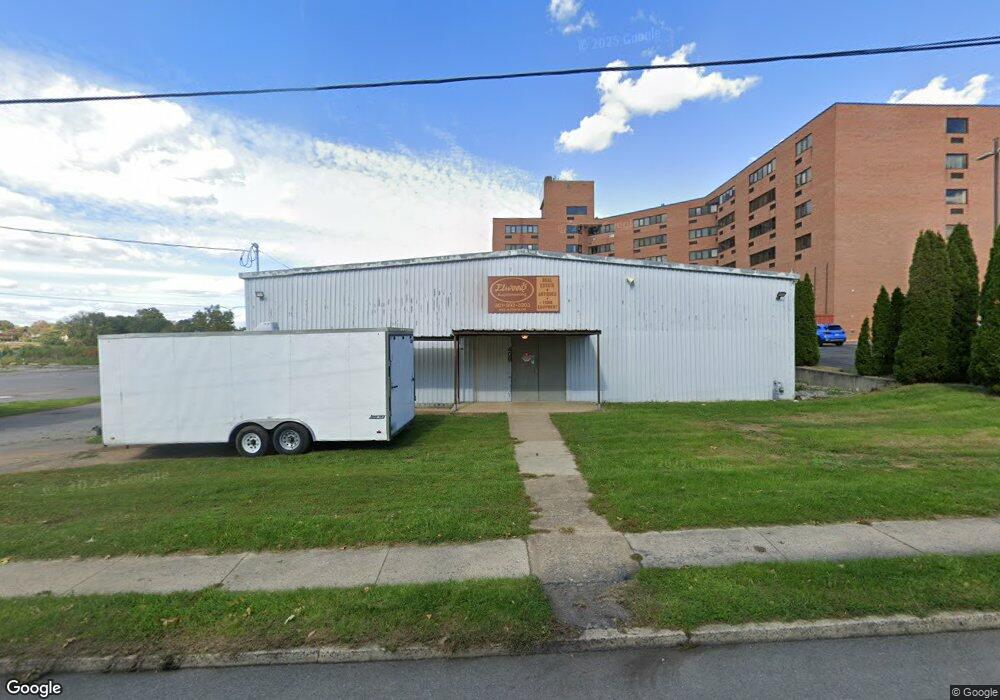
408 E Antietam St Hagerstown, MD 21740
East End NeighborhoodEstimated Value: $622,049
--
Bed
--
Bath
8,280
Sq Ft
$75/Sq Ft
Est. Value
About This Home
This home is located at 408 E Antietam St, Hagerstown, MD 21740 and is currently estimated at $622,049, approximately $75 per square foot. 408 E Antietam St is a home located in Washington County with nearby schools including Ruth Ann Monroe Primary School, Eastern Elementary School, and E. Russell Hicks Middle School.
Ownership History
Date
Name
Owned For
Owner Type
Purchase Details
Closed on
Mar 20, 2014
Sold by
Paradise Hospitality Group Llc
Bought by
Elwood Brad M and Elwood Stacey L
Current Estimated Value
Home Financials for this Owner
Home Financials are based on the most recent Mortgage that was taken out on this home.
Original Mortgage
$236,250
Outstanding Balance
$178,592
Interest Rate
4.27%
Mortgage Type
Purchase Money Mortgage
Estimated Equity
$443,457
Create a Home Valuation Report for This Property
The Home Valuation Report is an in-depth analysis detailing your home's value as well as a comparison with similar homes in the area
Home Values in the Area
Average Home Value in this Area
Purchase History
| Date | Buyer | Sale Price | Title Company |
|---|---|---|---|
| Elwood Brad M | $315,000 | None Available |
Source: Public Records
Mortgage History
| Date | Status | Borrower | Loan Amount |
|---|---|---|---|
| Open | Elwood Brad M | $236,250 |
Source: Public Records
Tax History Compared to Growth
Tax History
| Year | Tax Paid | Tax Assessment Tax Assessment Total Assessment is a certain percentage of the fair market value that is determined by local assessors to be the total taxable value of land and additions on the property. | Land | Improvement |
|---|---|---|---|---|
| 2025 | $2,796 | $307,100 | $149,700 | $157,400 |
| 2024 | $2,796 | $306,933 | $0 | $0 |
| 2023 | $2,795 | $306,767 | $0 | $0 |
| 2022 | $2,793 | $306,600 | $149,700 | $156,900 |
| 2021 | $3,072 | $306,600 | $149,700 | $156,900 |
| 2020 | $2,854 | $306,600 | $149,700 | $156,900 |
| 2019 | $2,890 | $309,100 | $149,700 | $159,400 |
| 2018 | $2,511 | $268,600 | $0 | $0 |
| 2017 | $2,133 | $228,100 | $0 | $0 |
| 2016 | -- | $187,600 | $0 | $0 |
| 2015 | -- | $187,600 | $0 | $0 |
| 2014 | -- | $187,600 | $0 | $0 |
Source: Public Records
Map
Nearby Homes
- 329 Antietam E
- 421 E Washington St
- 300 S Cleveland Ave
- 360 S Cannon Ave
- 112 S Cannon Ave
- 30 S Cannon Ave
- 360 S Cleveland Ave
- 35 N Cleveland Ave
- 15 S Cannon Ave
- 414 E Franklin St
- 51 N Cannon Ave
- 716 Largo Dr
- 228 E Washington St
- 312 E Franklin St
- 351 Liberty St
- 338 Liberty St
- 16 S Mulberry St
- 440 Liberty St
- 145 King St
- 200 E Antietam St
- 420 E Antietam St
- 401 E Antietam St
- 201 S Cleveland Ave
- 503 Dual Hwy
- 431 Dual Hwy Unit 101
- 431 Dual Hwy
- 431 Dual Hwy Unit 101
- 431 Dual Hwy Unit 131
- 431 Dual Hwy Unit 107
- 431 Dual Hwy Unit 109
- 431 Dual Hwy Unit 500
- 345 E Antietam St
- 351 E Antietam St
- 303 S Cleveland Ave
- 401 Dual Hwy
- 507 Dual Hwy
- 339 E Antietam St Unit 4
- 339 E Antietam St
- 305 S Cleveland Ave
- 301 S Cleveland Ave