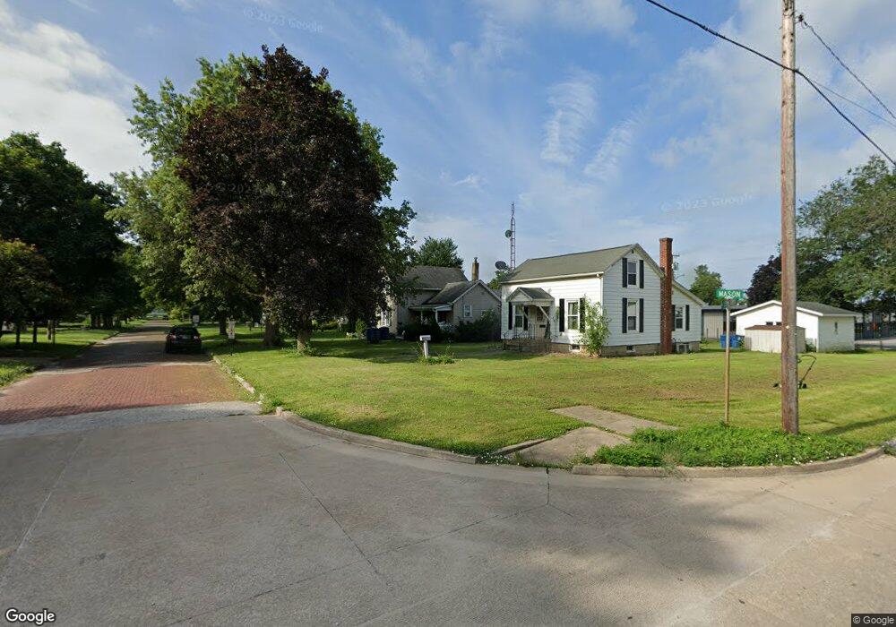
408 Mason St Chenoa, IL 61726
Estimated Value: $54,000 - $114,000
3
Beds
2
Baths
1,625
Sq Ft
$46/Sq Ft
Est. Value
About This Home
This home is located at 408 Mason St, Chenoa, IL 61726 and is currently estimated at $75,106, approximately $46 per square foot. 408 Mason St is a home located in McLean County with nearby schools including Prairie Central High School.
Ownership History
Date
Name
Owned For
Owner Type
Purchase Details
Closed on
Feb 3, 2025
Sold by
Carranza Jabier and Carranza Clair L
Bought by
Carranza Daniel
Current Estimated Value
Home Financials for this Owner
Home Financials are based on the most recent Mortgage that was taken out on this home.
Original Mortgage
$54,598
Interest Rate
6.89%
Mortgage Type
New Conventional
Purchase Details
Closed on
Oct 17, 2016
Sold by
Heartland Bank And Trust Company
Bought by
Carranza Jabier and Carranza C
Create a Home Valuation Report for This Property
The Home Valuation Report is an in-depth analysis detailing your home's value as well as a comparison with similar homes in the area
Purchase History
| Date | Buyer | Sale Price | Title Company |
|---|---|---|---|
| Carranza Daniel | $53,000 | Mclean County Title | |
| Carranza Jabier | -- | -- |
Source: Public Records
Mortgage History
| Date | Status | Borrower | Loan Amount |
|---|---|---|---|
| Previous Owner | Carranza Daniel | $54,598 |
Source: Public Records
Tax History
| Year | Tax Paid | Tax Assessment Tax Assessment Total Assessment is a certain percentage of the fair market value that is determined by local assessors to be the total taxable value of land and additions on the property. | Land | Improvement |
|---|---|---|---|---|
| 2024 | $965 | $16,836 | $4,910 | $11,926 |
| 2022 | $965 | $10,004 | $4,225 | $5,779 |
| 2021 | $928 | $9,775 | $4,128 | $5,647 |
| 2020 | $889 | $9,089 | $3,838 | $5,251 |
| 2019 | $913 | $9,089 | $3,838 | $5,251 |
| 2018 | $969 | $9,000 | $3,800 | $5,200 |
| 2017 | $868 | $9,000 | $3,800 | $5,200 |
| 2016 | $1,053 | $17,526 | $3,808 | $13,718 |
| 2015 | $1,045 | $17,983 | $3,907 | $14,076 |
| 2014 | $1,040 | $17,983 | $3,907 | $14,076 |
| 2013 | -- | $18,180 | $3,950 | $14,230 |
Source: Public Records
Map
Nearby Homes
- Lot 7 Block 11 S Morehead St
- 429 W Owsley St
- 503 N Commercial St
- 117 Clark St
- 310 N 1st Ave
- 605 Morningside Dr
- 106 Champion Dr
- 1017 Florence Ave
- 602 N 4th Ave
- 10788 N 1000 East Rd
- 9898 E 1200 North Rd
- 31439 2nd St
- 33574 Oak St
- 208 E 8th St
- 108 E Gridley Rd
- 14373 N 1700 Rd E
- 10735 E 1700 Rd N
- 25179 N 2175 East Rd
- 21671 Clarksville Rd
- 8735 N 2000 East Rd
- 402 Mason St
- 416 Mason St
- 420 Mason St
- 102 E Cemetery Ave
- 206 E Cemetery Ave
- 100 E Cemetery Ave
- 208 E Cemetery Ave
- 424 Mason St
- 409 Mason St
- 201 E Cemetery Ave
- 300 S Veto St
- 417 Mason St
- 210 E Cemetery Ave
- 425 Mason St
- 312 S Green St
- 216 E Cemetery Ave
- 120 W Kentucky Ave
- 310 S Green St
- 100 W Kentucky Ave
- 503 Mason St
Your Personal Tour Guide
Ask me questions while you tour the home.