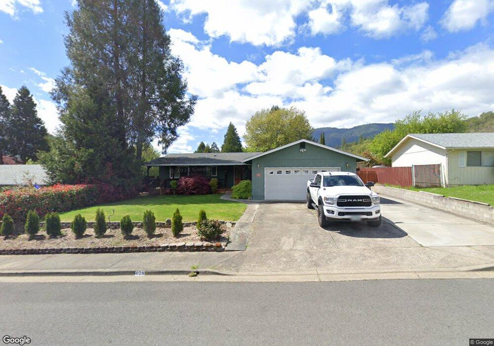
408 Nugget Dr Rogue River, OR 97537
Estimated Value: $286,000 - $362,000
3
Beds
2
Baths
1,140
Sq Ft
$284/Sq Ft
Est. Value
About This Home
This home is located at 408 Nugget Dr, Rogue River, OR 97537 and is currently estimated at $323,988, approximately $284 per square foot. 408 Nugget Dr is a home located in Jackson County with nearby schools including Rogue River Elementary School, South Valley Academy, and Rogue River Junior/Senior High School.
Ownership History
Date
Name
Owned For
Owner Type
Purchase Details
Closed on
May 6, 2021
Sold by
Hammond Michael D
Bought by
Michael D Hammond Trust and Hammond
Current Estimated Value
Purchase Details
Closed on
Mar 27, 2003
Sold by
Kiff David Lee and Kiff Traci Linn
Bought by
Hammond Michael D
Home Financials for this Owner
Home Financials are based on the most recent Mortgage that was taken out on this home.
Original Mortgage
$126,100
Interest Rate
5.79%
Create a Home Valuation Report for This Property
The Home Valuation Report is an in-depth analysis detailing your home's value as well as a comparison with similar homes in the area
Home Values in the Area
Average Home Value in this Area
Purchase History
We collect this data history from publicly available records. To have your information removed, we recommend requesting removal directly through your county’s website.
| Date | Buyer | Sale Price | Title Company |
|---|---|---|---|
| Michael D Hammond Trust | -- | None Listed On Document | |
| Hammond Michael D | $130,000 | First American |
Source: Public Records
Mortgage History
We collect this data history from publicly available records. To have your information removed, we recommend requesting removal directly through your county’s website.
| Date | Status | Borrower | Loan Amount |
|---|---|---|---|
| Previous Owner | Hammond Michael D | $126,100 |
Source: Public Records
Tax History
| Year | Tax Paid | Tax Assessment Tax Assessment Total Assessment is a certain percentage of the fair market value that is determined by local assessors to be the total taxable value of land and additions on the property. | Land | Improvement |
|---|---|---|---|---|
| 2026 | $2,288 | $159,780 | -- | -- |
| 2025 | $2,215 | $155,130 | $65,060 | $90,070 |
| 2024 | $2,215 | $150,620 | $63,160 | $87,460 |
| 2023 | $2,143 | $146,240 | $61,320 | $84,920 |
| 2022 | $2,093 | $146,240 | $61,320 | $84,920 |
| 2021 | $2,034 | $141,990 | $59,540 | $82,450 |
| 2020 | $1,982 | $137,860 | $57,800 | $80,060 |
| 2019 | $1,934 | $129,960 | $54,480 | $75,480 |
| 2018 | $1,884 | $126,180 | $52,890 | $73,290 |
| 2017 | $1,841 | $126,180 | $52,890 | $73,290 |
| 2016 | $1,795 | $118,950 | $49,860 | $69,090 |
| 2015 | $1,745 | $118,950 | $47,960 | $70,990 |
| 2014 | $1,688 | $112,130 | $45,200 | $66,930 |
Source: Public Records
Map
Nearby Homes
- 107 Marie Cir
- 103 Wards Creek Ln
- 100 Brookside Ct
- 714 Brookside Cir
- 469 Wards Creek Rd
- 734 Brookside Cir
- 105 Brolin Ct
- 2661 Wards Creek Rd
- 101 Cedar Ridge Terrace
- 182 Wards Creek Rd
- 105 Cedar Ridge Terrace
- 707 Wards Creek Rd
- 305 Woodville Way
- 304 Wards Creek Rd
- 904 Broadway St Unit 503
- 111 Cedar St
- 0 Oak St
- 512 Pine St
- 203 Park St
- 824 Pine St Unit 1-4
Your Personal Tour Guide
Ask me questions while you tour the home.