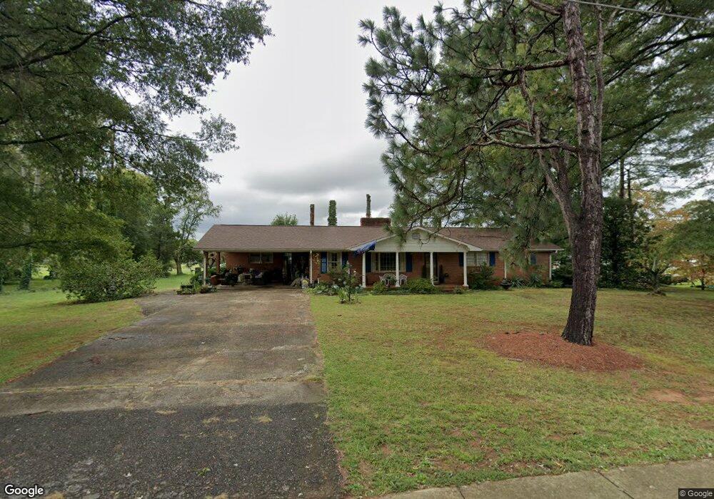
408 S Crutchfield St Dobson, NC 27017
Estimated Value: $255,000 - $354,000
3
Beds
2
Baths
2,027
Sq Ft
$144/Sq Ft
Est. Value
About This Home
This home is located at 408 S Crutchfield St, Dobson, NC 27017 and is currently estimated at $291,556, approximately $143 per square foot. 408 S Crutchfield St is a home with nearby schools including Dobson Elementary School, Central Middle School, and Surry Central High School.
Ownership History
Date
Name
Owned For
Owner Type
Purchase Details
Closed on
May 11, 2020
Sold by
Johnson Keith R
Bought by
Porter Gary C and Porter Patricia M
Current Estimated Value
Purchase Details
Closed on
Jun 6, 2007
Sold by
Tunstall Nancy A and Tunstall Edward
Bought by
Alberty Porter Patricia Marie
Purchase Details
Closed on
Apr 5, 2007
Sold by
Alberty Nathan E and Alberty Betty
Bought by
Tunstall Nancy A
Purchase Details
Closed on
Feb 16, 2007
Sold by
First Citizen Bank & Trust Co
Bought by
Alberty Nathan E and Tunstall Nacy A
Purchase Details
Closed on
Jan 1, 1955
Purchase Details
Closed on
Dec 1, 1954
Create a Home Valuation Report for This Property
The Home Valuation Report is an in-depth analysis detailing your home's value as well as a comparison with similar homes in the area
Home Values in the Area
Average Home Value in this Area
Purchase History
| Date | Buyer | Sale Price | Title Company |
|---|---|---|---|
| Porter Gary C | $32,000 | None Available | |
| Alberty Porter Patricia Marie | -- | None Available | |
| Tunstall Nancy A | -- | None Available | |
| Alberty Nathan E | -- | None Available | |
| -- | -- | -- | |
| -- | -- | -- |
Source: Public Records
Tax History Compared to Growth
Tax History
| Year | Tax Paid | Tax Assessment Tax Assessment Total Assessment is a certain percentage of the fair market value that is determined by local assessors to be the total taxable value of land and additions on the property. | Land | Improvement |
|---|---|---|---|---|
| 2025 | $2,208 | $228,090 | $36,000 | $192,090 |
| 2024 | $1,798 | $177,970 | $29,250 | $148,720 |
| 2023 | $1,763 | $177,970 | $29,250 | $148,720 |
| 2022 | $1,763 | $177,970 | $29,250 | $148,720 |
| 2021 | $1,687 | $177,970 | $29,250 | $148,720 |
| 2020 | $1,671 | $161,800 | $29,250 | $132,550 |
| 2019 | $1,668 | $160,660 | $0 | $0 |
| 2018 | $1,557 | $160,660 | $0 | $0 |
| 2017 | $1,585 | $160,660 | $0 | $0 |
| 2016 | $1,585 | $160,660 | $0 | $0 |
| 2013 | -- | $160,660 | $0 | $0 |
Source: Public Records
Map
Nearby Homes
- 209 Freeman St
- 415 Blessing Dr
- 602 S Main St
- 0 Main St Unit 1127207
- 331 Collins Rd
- 445 Ridge Rd
- 149 Vance St
- 147 Michael Dr
- 127 Forest Oaks Dr
- 105 Pepperbush Trail
- 142 Arthur Haney Rd
- 504 Cody Trail
- 1261 Turkey Ford Rd
- 195 Piney Grove Rd
- 189 Village Main Trail
- 856 Haynes Rd
- 00 White Dirt Rd
- 129 Seabrook Rd
- 446 Grover Simmons Rd
- 153 Hooker Trail
- 414 S Crutchfield St
- 404 S Crutchfield St
- 416 S Crutchfield St
- 211 James St
- 403 S Crutchfield St
- 204 James St
- 420 S Crutchfield St
- 309 S Crutchfield St
- 408 S Main St
- 412 S Main St
- 208 James St
- 422 S Crutchfield St
- 418 S Main St
- 328 S Main St
- 412 Adams St
- 414 Adams St
- 420 Adams St
- 302 S Crutchfield St
- 305 S Crutchfield St
- 301 S Crutchfield St