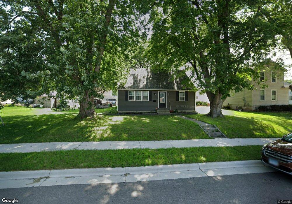
408 Saint Peter Ave Albert Lea, MN 56007
Estimated Value: $180,366 - $192,000
3
Beds
2
Baths
1,220
Sq Ft
$152/Sq Ft
Est. Value
About This Home
This home is located at 408 Saint Peter Ave, Albert Lea, MN 56007 and is currently estimated at $185,842, approximately $152 per square foot. 408 Saint Peter Ave is a home located in Freeborn County with nearby schools including Hawthorne Elementary School, Southwest Middle School, and Albert Lea Senior High School.
Ownership History
Date
Name
Owned For
Owner Type
Purchase Details
Closed on
Apr 18, 2022
Sold by
Midthun Properties Llc
Bought by
Swanson Brady and Swanson Angeline
Current Estimated Value
Home Financials for this Owner
Home Financials are based on the most recent Mortgage that was taken out on this home.
Original Mortgage
$152,290
Outstanding Balance
$142,289
Interest Rate
3.76%
Mortgage Type
New Conventional
Estimated Equity
$43,553
Create a Home Valuation Report for This Property
The Home Valuation Report is an in-depth analysis detailing your home's value as well as a comparison with similar homes in the area
Home Values in the Area
Average Home Value in this Area
Purchase History
| Date | Buyer | Sale Price | Title Company |
|---|---|---|---|
| Swanson Brady | $157,000 | -- |
Source: Public Records
Mortgage History
| Date | Status | Borrower | Loan Amount |
|---|---|---|---|
| Open | Swanson Brady | $152,290 |
Source: Public Records
Tax History
| Year | Tax Paid | Tax Assessment Tax Assessment Total Assessment is a certain percentage of the fair market value that is determined by local assessors to be the total taxable value of land and additions on the property. | Land | Improvement |
|---|---|---|---|---|
| 2025 | $1,718 | $180,100 | $20,600 | $159,500 |
| 2024 | $1,796 | $136,900 | $8,200 | $128,700 |
| 2023 | $1,080 | $136,900 | $8,200 | $128,700 |
| 2022 | $3,164 | $93,000 | $8,200 | $84,800 |
| 2021 | $2,492 | $83,900 | $8,200 | $75,700 |
| 2020 | $1,898 | $80,700 | $8,200 | $72,500 |
| 2019 | $1,494 | $72,900 | $7,300 | $65,600 |
| 2018 | $854 | $0 | $0 | $0 |
| 2016 | $826 | $0 | $0 | $0 |
| 2015 | $816 | $0 | $0 | $0 |
| 2014 | $888 | $0 | $0 | $0 |
| 2012 | $906 | $0 | $0 | $0 |
Source: Public Records
Map
Nearby Homes
- 604 Ulstad Ave
- 1405 Johnson St
- 1715 SE Marshall St
- 614 Garfield Ave
- 721 Columbus Ave
- 109 Charlotte Ave
- 717 Garfield Ave
- TBD Stevens St
- 1917 Bimelich Ln
- 808 Freeborn Ave
- 602 Minnesota Ave
- 640 Marshall St
- 522 Alice Ave
- 1106 Foothills Cir
- 902 Clausen Ave
- 613 & 615 Giles Place
- 618 & 620 Giles Place
- 115 N Newton Ave
- 212 N Broadway Ave Unit C1
- 319 Glenn Rd
- 410 Saint Peter Ave
- 402 Saint Peter Ave
- 416 Saint Peter Ave
- 1419 E Main St
- 407 Ulstad Ave
- 409 Ulstad Ave
- 418 Saint Peter Ave
- 413 Ulstad Ave
- 409 Saint Peter Ave
- 1411 E Main St
- 415 Saint Peter Ave
- 422 Saint Peter Ave
- 417 Ulstad Ave
- 419 Saint Peter Ave
- 421 Ulstad Ave
- 426 Saint Peter Ave
- 421 Saint Peter Ave
- 1601 Stevens St
- 425 Ulstad Ave
- 1405 E Main St
Your Personal Tour Guide
Ask me questions while you tour the home.