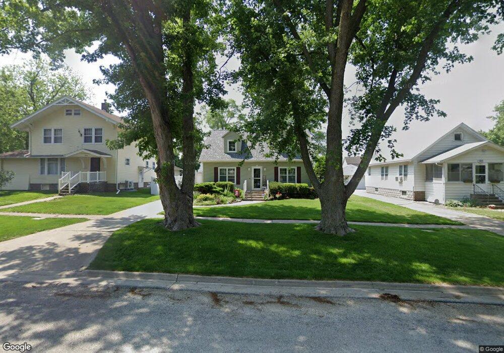
408 W 6th St Wilton, IA 52778
Estimated Value: $212,000 - $239,000
3
Beds
3
Baths
1,934
Sq Ft
$116/Sq Ft
Est. Value
About This Home
This home is located at 408 W 6th St, Wilton, IA 52778 and is currently estimated at $224,131, approximately $115 per square foot. 408 W 6th St is a home located in Muscatine County with nearby schools including Wilton Elementary School and Wilton Junior/Senior High School.
Ownership History
Date
Name
Owned For
Owner Type
Purchase Details
Closed on
Dec 11, 2012
Sold by
Gradert Diana M
Bought by
Waack Gregory
Current Estimated Value
Home Financials for this Owner
Home Financials are based on the most recent Mortgage that was taken out on this home.
Original Mortgage
$108,000
Outstanding Balance
$74,721
Interest Rate
3.34%
Mortgage Type
New Conventional
Estimated Equity
$149,410
Purchase Details
Closed on
Apr 12, 2011
Sold by
Estate Of Leah L Maurer
Bought by
Diana M Gradert Revocable Trust
Create a Home Valuation Report for This Property
The Home Valuation Report is an in-depth analysis detailing your home's value as well as a comparison with similar homes in the area
Home Values in the Area
Average Home Value in this Area
Purchase History
| Date | Buyer | Sale Price | Title Company |
|---|---|---|---|
| Waack Gregory | $95,000 | None Available | |
| Diana M Gradert Revocable Trust | -- | -- |
Source: Public Records
Mortgage History
| Date | Status | Borrower | Loan Amount |
|---|---|---|---|
| Open | Waack Gregory | $108,000 |
Source: Public Records
Tax History Compared to Growth
Tax History
| Year | Tax Paid | Tax Assessment Tax Assessment Total Assessment is a certain percentage of the fair market value that is determined by local assessors to be the total taxable value of land and additions on the property. | Land | Improvement |
|---|---|---|---|---|
| 2025 | $3,054 | $187,540 | $21,300 | $166,240 |
| 2024 | $3,054 | $186,950 | $21,300 | $165,650 |
| 2023 | $3,234 | $206,626 | $21,306 | $185,320 |
| 2022 | $3,180 | $184,130 | $20,100 | $164,030 |
| 2021 | $3,180 | $170,480 | $20,100 | $150,380 |
| 2020 | $3,266 | $166,630 | $20,100 | $146,530 |
| 2019 | $3,290 | $159,460 | $0 | $0 |
| 2018 | $3,002 | $151,780 | $0 | $0 |
| 2017 | $3,002 | $151,760 | $0 | $0 |
| 2016 | $3,058 | $151,760 | $0 | $0 |
| 2015 | $3,058 | $146,250 | $0 | $0 |
| 2014 | $2,952 | $146,250 | $0 | $0 |
Source: Public Records
Map
Nearby Homes