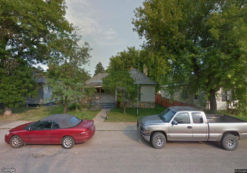
408 W Corcoran St Lewistown, MT 59457
Estimated Value: $182,000 - $214,293
2
Beds
1
Bath
1,183
Sq Ft
$167/Sq Ft
Est. Value
About This Home
This home is located at 408 W Corcoran St, Lewistown, MT 59457 and is currently estimated at $197,573, approximately $167 per square foot. 408 W Corcoran St is a home located in Fergus County with nearby schools including Fergus High School.
Ownership History
Date
Name
Owned For
Owner Type
Purchase Details
Closed on
Sep 30, 2021
Sold by
Mark Mericle
Bought by
Pace David E and Reininger Amanda A
Current Estimated Value
Home Financials for this Owner
Home Financials are based on the most recent Mortgage that was taken out on this home.
Original Mortgage
$94,500
Outstanding Balance
$86,175
Interest Rate
2.8%
Mortgage Type
New Conventional
Estimated Equity
$123,841
Purchase Details
Closed on
Oct 10, 2013
Sold by
Kusterle Candice T
Bought by
Mericle Mark and Mericle Jacquelyn A
Create a Home Valuation Report for This Property
The Home Valuation Report is an in-depth analysis detailing your home's value as well as a comparison with similar homes in the area
Home Values in the Area
Average Home Value in this Area
Purchase History
| Date | Buyer | Sale Price | Title Company |
|---|---|---|---|
| Pace David E | $125,685 | New Title Company Name | |
| Mericle Mark | -- | First American Title |
Source: Public Records
Mortgage History
| Date | Status | Borrower | Loan Amount |
|---|---|---|---|
| Open | Pace David E | $94,500 |
Source: Public Records
Tax History Compared to Growth
Tax History
| Year | Tax Paid | Tax Assessment Tax Assessment Total Assessment is a certain percentage of the fair market value that is determined by local assessors to be the total taxable value of land and additions on the property. | Land | Improvement |
|---|---|---|---|---|
| 2025 | $1,217 | $209,200 | $0 | $0 |
| 2024 | $1,703 | $145,200 | $0 | $0 |
| 2023 | $1,710 | $145,200 | $0 | $0 |
| 2022 | $1,343 | $89,500 | $0 | $0 |
| 2021 | $731 | $63,300 | $0 | $0 |
| 2020 | $809 | $53,080 | $0 | $0 |
| 2019 | $805 | $53,080 | $0 | $0 |
| 2018 | $771 | $50,100 | $0 | $0 |
| 2017 | $565 | $50,100 | $0 | $0 |
| 2016 | $849 | $58,640 | $0 | $0 |
| 2015 | $652 | $58,640 | $0 | $0 |
| 2014 | $602 | $30,316 | $0 | $0 |
Source: Public Records
Map
Nearby Homes
- 320 W Boulevard St
- 224 W Virginia St
- 412 W Huron St
- 624 W Broadway St
- 229 Deb's Dr
- 711 W Huron St
- 614 Ohio St
- 1105 Crowley Ave
- 115 7th Ave N
- TBD Truck Bypass
- 1016 W Montana St
- 1005 W Washington St
- 208 2nd St W
- 1102 W Boulevard St
- 1011 W Broadway St
- 401 7th Ave S
- 904 Wendell Ave
- 1000 Fountain Terrace Dr
- 506 Brassey St
- 1220 W Main St
- 412 W Corcoran St
- 402 W Corcoran St
- 414 W Corcoran St
- 714 4th Ave N
- 405 W Virginia St
- 409 W Virginia St
- 411 W Corcoran St
- 416 W Corcoran St
- 421 W Virginia St
- 413 W Corcoran St
- 324 W Corcoran St
- 612 4th Ave N
- 703 5th Ave N
- 408 Virginia St
- 415 W Corcoran St
- 715 4th Ave N
- 323 W Corcoran St
- 715 5th Ave N
- 615 5th Ave N
- 410 W Evelyn St