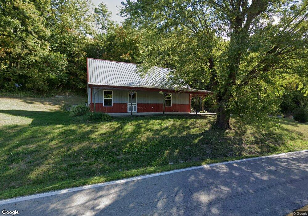
4080 State Route 247 West Union, OH 45693
Estimated Value: $311,000
3
Beds
1
Bath
1,916
Sq Ft
$162/Sq Ft
Est. Value
About This Home
This home is located at 4080 State Route 247, West Union, OH 45693 and is currently estimated at $311,000, approximately $162 per square foot. 4080 State Route 247 is a home located in Adams County with nearby schools including West Union Elementary School, West Union High School, and Adams County Christian School.
Ownership History
Date
Name
Owned For
Owner Type
Purchase Details
Closed on
May 6, 2022
Sold by
Bushelman George W and Bushelman Joyce
Bought by
Beasley Fork Hunting Club Llc
Current Estimated Value
Home Financials for this Owner
Home Financials are based on the most recent Mortgage that was taken out on this home.
Original Mortgage
$110,000
Outstanding Balance
$104,366
Interest Rate
5.27%
Estimated Equity
$206,634
Purchase Details
Closed on
Jan 1, 1990
Bought by
Bushelman George W
Create a Home Valuation Report for This Property
The Home Valuation Report is an in-depth analysis detailing your home's value as well as a comparison with similar homes in the area
Home Values in the Area
Average Home Value in this Area
Purchase History
| Date | Buyer | Sale Price | Title Company |
|---|---|---|---|
| Beasley Fork Hunting Club Llc | $165,000 | Whalen Law Office Llc | |
| Bushelman George W | -- | -- |
Source: Public Records
Mortgage History
| Date | Status | Borrower | Loan Amount |
|---|---|---|---|
| Open | Beasley Fork Hunting Club Llc | $110,000 |
Source: Public Records
Tax History Compared to Growth
Tax History
| Year | Tax Paid | Tax Assessment Tax Assessment Total Assessment is a certain percentage of the fair market value that is determined by local assessors to be the total taxable value of land and additions on the property. | Land | Improvement |
|---|---|---|---|---|
| 2024 | $716 | $64,260 | $29,470 | $34,790 |
| 2023 | $721 | $64,260 | $29,470 | $34,790 |
| 2022 | $1,431 | $54,680 | $22,510 | $32,170 |
| 2021 | $1,431 | $54,680 | $22,510 | $32,170 |
| 2020 | $1,463 | $54,680 | $22,510 | $32,170 |
| 2019 | $1,459 | $54,680 | $22,510 | $32,170 |
| 2018 | $1,254 | $47,540 | $19,570 | $27,970 |
| 2017 | $1,234 | $47,540 | $19,570 | $27,970 |
| 2016 | $1,232 | $47,540 | $19,570 | $27,970 |
| 2015 | $390 | $23,140 | $18,200 | $4,940 |
| 2014 | $390 | $23,140 | $18,200 | $4,940 |
Source: Public Records
Map
Nearby Homes
- 2060 Moores Run Rd
- 333 Crawford Rd
- 271 Crawford Rd
- 405 Lookout View
- 4423 Pumpkin Ridge Rd
- 144 ac Pumpkin Ridge Rd
- 175 Hidden Acres Dr
- 4700 Ohio 247
- 585 High St
- 166 Pumpkin Ridge Rd
- 1082 E Walnut St
- 144 Pumpkin Ridge Rd
- 269 Paulette Ln
- 537 1st St
- 286 & 290 S Market St
- 725 E Walnut St
- 526 E Walnut St
- 410 Owens Rd
- 4702 Brush Creek Rd
- 104 N Washington St
- 3965 State Route 247
- 3872 State Route 247
- 3840 State Route 247
- 3945 State Route 247
- 751 Mccarty Rd
- 3840 Ohio 247
- 4463 Sr 247
- 4590 State Route 247
- 24 Beasley Fork Rd
- 46 Beasley Fork Rd
- 600 Mccarty Rd
- 5 Beasley Fork Rd
- 154 Beasley Fork Rd
- 2220 Moores Run Rd
- 21 Trotter Rd
- 3290 State Route 247
- 2240 Moores Run Rd
- 1 Trotter Rd
- 4936 State Route 247
- 4950 State Route 247