Estimated Value: $1,142,000 - $3,129,769
5
Beds
5
Baths
8,054
Sq Ft
$229/Sq Ft
Est. Value
About This Home
This home is located at 4081 Highway 96, Burns, TN 37029 and is currently estimated at $1,846,923, approximately $229 per square foot. 4081 Highway 96 is a home located in Dickson County with nearby schools including Stuart Burns Elementary School, Burns Middle School, and Dickson County High School.
Ownership History
Date
Name
Owned For
Owner Type
Purchase Details
Closed on
Apr 26, 2023
Sold by
Elson Betty
Bought by
Sims Will and Sims Emily
Current Estimated Value
Purchase Details
Closed on
Mar 14, 2005
Sold by
Elson Melvin L
Bought by
Elson Betty M
Purchase Details
Closed on
Jul 1, 1996
Sold by
Elson Melvin L
Bought by
Hosale James C
Purchase Details
Closed on
Dec 2, 1994
Sold by
Pen Grace
Bought by
Melvin Elson
Purchase Details
Closed on
Sep 29, 1983
Bought by
Pen Eddie and Pen Grace
Create a Home Valuation Report for This Property
The Home Valuation Report is an in-depth analysis detailing your home's value as well as a comparison with similar homes in the area
Home Values in the Area
Average Home Value in this Area
Purchase History
| Date | Buyer | Sale Price | Title Company |
|---|---|---|---|
| Sims Will | $961,074 | None Listed On Document | |
| Elson Betty M | -- | -- | |
| Hosale James C | $96,500 | -- | |
| Melvin Elson | $1,500,000 | -- | |
| Pen Eddie | -- | -- |
Source: Public Records
Tax History Compared to Growth
Tax History
| Year | Tax Paid | Tax Assessment Tax Assessment Total Assessment is a certain percentage of the fair market value that is determined by local assessors to be the total taxable value of land and additions on the property. | Land | Improvement |
|---|---|---|---|---|
| 2025 | $5,441 | $321,950 | $0 | $0 |
| 2024 | $5,441 | $321,950 | $55,975 | $265,975 |
| 2023 | $5,756 | $244,925 | $48,325 | $196,600 |
| 2022 | $5,756 | $244,925 | $48,325 | $196,600 |
| 2021 | $5,756 | $244,925 | $48,325 | $196,600 |
| 2020 | $5,756 | $244,925 | $48,325 | $196,600 |
| 2019 | $5,756 | $244,925 | $48,325 | $196,600 |
| 2018 | $5,642 | $208,975 | $36,950 | $172,025 |
| 2017 | $5,642 | $208,975 | $36,950 | $172,025 |
| 2016 | $5,642 | $208,975 | $36,950 | $172,025 |
| 2015 | $5,254 | $181,175 | $36,950 | $144,225 |
| 2014 | $5,254 | $181,175 | $36,950 | $144,225 |
Source: Public Records
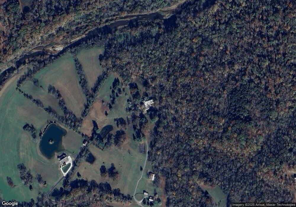
Map
Nearby Homes
- 120 Old Highway 96
- 610 Dogwood Ln
- 545 Red Fox Dr
- 1374 Deal Rd
- 1550 Tennessee 96
- 1348 Camp Ravine Rd
- 9 Sycamore Ridge W
- 0 Drag Strip Rd
- 2005 Beaver Ridge Rd
- 0 Camp Ravine Rd
- 620 Williamson County Line Rd
- 1995 Spencer Mill Rd
- 1168 Johnny Hall Rd
- 1004 Bradby Dr
- 1200 Lonesome Pine Rd
- 1501 Spencer Mill Rd
- 1034 Ridglea Dr
- 1134 Bald Eagle Dr
- 7139 Kingston Rd
- 304 Cherokee Ct
- 4081 Highway 96
- 0 Williamson Co Line Rd Unit 1919694
- 4071 Highway 96
- 4070 Highway 96
- 4085 Highway 96
- 4085 Highway 96
- 4076 Highway 96
- 4072 Highway 96
- 4099 Highway 96
- 4091 Highway 96
- 552 Dogwood Way
- 4095 Highway 96
- 1032 Dogwood Ln
- 4084 Highway 96
- 555 Dogwood Way
- 549 Dogwood Way
- 4098 Highway 96
- 575 Dogwood Way
- 4105 Highway 96 Unit 4105
- 545 Dogwood Way