4082 W Brooks Gang Ct Lecanto, FL 34461
Lecanto NeighborhoodEstimated Value: $393,000 - $563,579
3
Beds
2
Baths
2,310
Sq Ft
$204/Sq Ft
Est. Value
About This Home
This home is located at 4082 W Brooks Gang Ct, Lecanto, FL 34461 and is currently estimated at $472,145, approximately $204 per square foot. 4082 W Brooks Gang Ct is a home located in Citrus County with nearby schools including Lecanto Primary School, Lecanto Middle School, and Lecanto High School.
Ownership History
Date
Name
Owned For
Owner Type
Purchase Details
Closed on
Apr 15, 2017
Sold by
Brooks Glenhart and Brooks Donna
Bought by
Glenhart & Donna Brooks Iii Living Trust
Current Estimated Value
Purchase Details
Closed on
Dec 20, 2016
Sold by
Brooks Glenhart and Brooks Donna R
Bought by
Glenhart and Dtd Brooks Iii Liv Tst Dtd
Purchase Details
Closed on
Sep 1, 2000
Bought by
Brooks Glenhart and Brooks Donna R
Purchase Details
Closed on
Jul 6, 2000
Sold by
Bell Carl Douglas
Bought by
Brooks Glenhart and Brooks Donna R
Purchase Details
Closed on
Oct 1, 1992
Bought by
Brooks Glenhart and Brooks Donna R
Purchase Details
Closed on
Apr 1, 1982
Bought by
Brooks Glenhart and Brooks Donna R
Create a Home Valuation Report for This Property
The Home Valuation Report is an in-depth analysis detailing your home's value as well as a comparison with similar homes in the area
Home Values in the Area
Average Home Value in this Area
Purchase History
| Date | Buyer | Sale Price | Title Company |
|---|---|---|---|
| Glenhart & Donna Brooks Iii Living Trust | -- | Attorney | |
| Glenhart | -- | None Available | |
| Brooks Glenhart | $100 | -- | |
| Brooks Glenhart | $8,000 | -- | |
| Brooks Glenhart | $10,000 | -- | |
| Brooks Glenhart | $100 | -- |
Source: Public Records
Tax History Compared to Growth
Tax History
| Year | Tax Paid | Tax Assessment Tax Assessment Total Assessment is a certain percentage of the fair market value that is determined by local assessors to be the total taxable value of land and additions on the property. | Land | Improvement |
|---|---|---|---|---|
| 2024 | $3,599 | $278,349 | -- | -- |
| 2023 | $3,599 | $270,242 | $0 | $0 |
| 2022 | $3,366 | $262,371 | $0 | $0 |
| 2021 | $3,230 | $254,729 | $0 | $0 |
| 2020 | $3,177 | $275,096 | $32,730 | $242,366 |
| 2019 | $3,110 | $291,928 | $32,730 | $259,198 |
| 2018 | $3,088 | $271,690 | $29,430 | $242,260 |
| 2017 | $3,083 | $234,084 | $29,430 | $204,654 |
| 2016 | $3,251 | $237,030 | $37,840 | $199,190 |
| 2015 | $3,303 | $235,382 | $37,850 | $197,532 |
| 2014 | $1,953 | $149,605 | $38,728 | $110,877 |
Source: Public Records
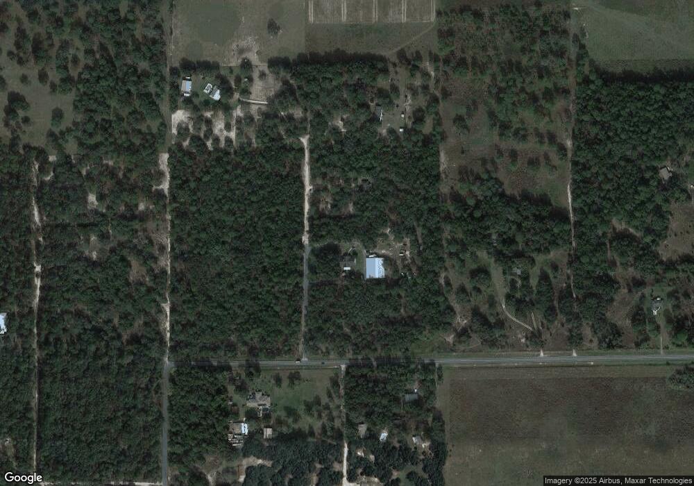
Map
Nearby Homes
- 1341 N Balko Path
- 3839 W Horace Allen St
- 3695 W Horace Allen St
- 824 N Maylen Ave
- 2622 N Carnoustie Loop
- 2598 N Troon Path
- 2689 N Carnoustie Loop
- 4200 W Breckenridge Ct
- 2623 N Prestwick Way
- 4900 W Trinity Place
- 2583 N Troon Path
- 973 N Maynard Ave
- 5194 W Deputy Dr
- 1087 N Sloan Terrace
- 1741 N Crooked Branch Dr
- 2767 W Norvell Bryant Hwy
- 4739 W Angus Dr
- 2900 W Sunrise St
- 1105 N Commerce Terrace
- 2853 W Norvell Bryant Hwy
- 1651 N Common Point
- 4108 W Horace Allen St
- 4020 W Horace Allen St
- 4152 W Horace Allen St
- 3909 W Horace Allen St
- 1415 N Balko Path
- 4004 W Horace Allen St
- 1704 N Common Point
- 1340 N Balko Path
- 1367 N Balko Path
- 1254 N Balko Path
- 1549 N Hajik Path
- 1330 N Balko Path
- 1555 N Hajik Path
- 1458 N Maylen Ave
- 1325 N Balko Path
- 1379 N Hajik Point
- 1601 N Carib Point
- 1644 N Hajik Path
- 4134 W Norvell Bryant Hwy