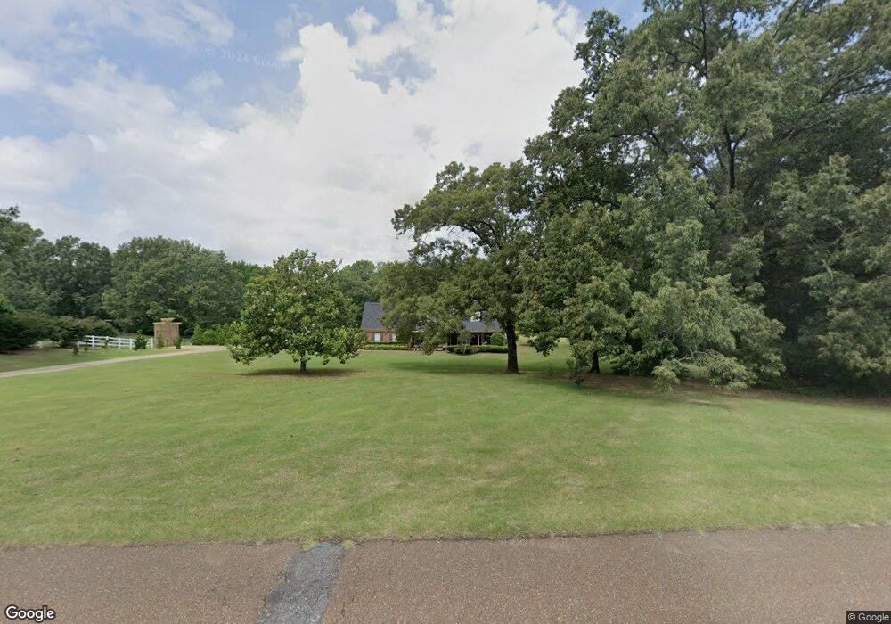
4085 Davis Rd Southaven, MS 38671
Pleasant Hill NeighborhoodEstimated Value: $470,000 - $562,000
3
Beds
--
Bath
4,379
Sq Ft
$118/Sq Ft
Est. Value
About This Home
This home is located at 4085 Davis Rd, Southaven, MS 38671 and is currently estimated at $516,447, approximately $117 per square foot. 4085 Davis Rd is a home located in DeSoto County with nearby schools including DeSoto Central Elementary School, DeSoto Central Primary School, and DeSoto Central Middle School.
Ownership History
Date
Name
Owned For
Owner Type
Purchase Details
Closed on
Mar 4, 2024
Sold by
Davis Charles G and Fair Jansen R
Bought by
Davis Charles G and Fair Jansen R
Current Estimated Value
Purchase Details
Closed on
Jul 14, 2021
Sold by
Davis Charles G
Bought by
Davis Charles G and Fair Jansen R
Purchase Details
Closed on
Oct 22, 2013
Sold by
Davis A Gerald
Bought by
Davis Charles G
Purchase Details
Closed on
Jun 15, 2011
Sold by
Fry Kyle P and Fry Candice
Bought by
Davis Suzann S
Home Financials for this Owner
Home Financials are based on the most recent Mortgage that was taken out on this home.
Original Mortgage
$173,319
Interest Rate
4.65%
Mortgage Type
Purchase Money Mortgage
Create a Home Valuation Report for This Property
The Home Valuation Report is an in-depth analysis detailing your home's value as well as a comparison with similar homes in the area
Home Values in the Area
Average Home Value in this Area
Purchase History
| Date | Buyer | Sale Price | Title Company |
|---|---|---|---|
| Davis Charles G | -- | None Listed On Document | |
| Davis Charles G | -- | None Listed On Document | |
| Davis Charles G | -- | None Available | |
| Davis Charles G | -- | None Available | |
| Davis Suzann S | -- | None Available |
Source: Public Records
Mortgage History
| Date | Status | Borrower | Loan Amount |
|---|---|---|---|
| Previous Owner | Davis Suzann S | $173,319 |
Source: Public Records
Tax History Compared to Growth
Tax History
| Year | Tax Paid | Tax Assessment Tax Assessment Total Assessment is a certain percentage of the fair market value that is determined by local assessors to be the total taxable value of land and additions on the property. | Land | Improvement |
|---|---|---|---|---|
| 2024 | $3,565 | $26,630 | $2,630 | $24,000 |
| 2023 | $3,565 | $26,630 | $0 | $0 |
| 2022 | $3,484 | $26,630 | $2,630 | $24,000 |
| 2021 | $3,484 | $26,630 | $2,630 | $24,000 |
| 2020 | $3,244 | $24,940 | $2,630 | $22,310 |
| 2019 | $3,244 | $24,940 | $2,630 | $22,310 |
| 2017 | $3,116 | $45,196 | $23,913 | $21,283 |
| 2016 | $3,116 | $23,913 | $2,630 | $21,283 |
| 2015 | $3,406 | $45,196 | $23,913 | $21,283 |
| 2014 | $3,116 | $23,913 | $0 | $0 |
| 2013 | $3,286 | $23,913 | $0 | $0 |
Source: Public Records
Map
Nearby Homes
- 2520 Rutherford Dr
- 3770 Swinnea Rd
- 3784 Houston Loop N
- 1601 Treestand Rd
- 3785 Roland Dr
- 3530 Rier Cove
- 3740 Roland Dr
- 3780 Roland Dr
- 4035 Garden Rd
- 1728 Lia Ln
- 16 Garden Rd
- 3823 Andreas Dr
- 1655 Ryker Rd
- 1663 Ryker Rd
- 1644 Ryker Rd
- 1716 Ryker Rd
- 1728 Ryker Rd
- 4735 Dustin Place Dr
- 4505 Swinnea Rd
- 3475 Mary Claire Ln