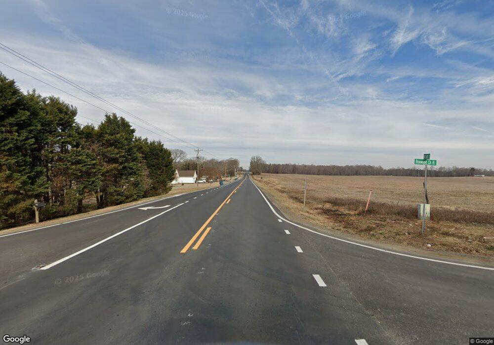
4085 N Hwy 601 Hwy Salisbury, NC 28147
Estimated Value: $184,000 - $204,000
3
Beds
2
Baths
1,104
Sq Ft
$178/Sq Ft
Est. Value
About This Home
This home is located at 4085 N Hwy 601 Hwy, Salisbury, NC 28147 and is currently estimated at $196,845, approximately $178 per square foot. 4085 N Hwy 601 Hwy is a home located in Rowan County with nearby schools including H D Isenberg Elementary, North Rowan Middle School, and North Rowan High School.
Ownership History
Date
Name
Owned For
Owner Type
Purchase Details
Closed on
Nov 12, 2008
Sold by
Federal National Mortgage Association
Bought by
Cole Jeffrey Ray
Current Estimated Value
Purchase Details
Closed on
Oct 2, 2007
Sold by
Lyerly Benjamin G
Bought by
Federal National Mortgage Association
Purchase Details
Closed on
Oct 22, 2004
Sold by
Mick Michael A and Mick Shirl D
Bought by
Lyerly Benjamin G
Home Financials for this Owner
Home Financials are based on the most recent Mortgage that was taken out on this home.
Original Mortgage
$93,000
Interest Rate
5.73%
Mortgage Type
Unknown
Create a Home Valuation Report for This Property
The Home Valuation Report is an in-depth analysis detailing your home's value as well as a comparison with similar homes in the area
Home Values in the Area
Average Home Value in this Area
Purchase History
| Date | Buyer | Sale Price | Title Company |
|---|---|---|---|
| Cole Jeffrey Ray | $60,000 | None Available | |
| Federal National Mortgage Association | $103,571 | None Available | |
| Lyerly Benjamin G | $98,000 | -- |
Source: Public Records
Mortgage History
| Date | Status | Borrower | Loan Amount |
|---|---|---|---|
| Previous Owner | Lyerly Benjamin G | $93,000 |
Source: Public Records
Tax History Compared to Growth
Tax History
| Year | Tax Paid | Tax Assessment Tax Assessment Total Assessment is a certain percentage of the fair market value that is determined by local assessors to be the total taxable value of land and additions on the property. | Land | Improvement |
|---|---|---|---|---|
| 2025 | $833 | $124,401 | $24,072 | $100,329 |
| 2024 | $833 | $124,401 | $24,072 | $100,329 |
| 2023 | $833 | $124,401 | $24,072 | $100,329 |
| 2022 | $669 | $89,446 | $18,054 | $71,392 |
| 2021 | $652 | $89,446 | $18,054 | $71,392 |
| 2020 | $652 | $89,446 | $18,054 | $71,392 |
| 2019 | $652 | $89,446 | $18,054 | $71,392 |
| 2018 | $593 | $82,036 | $18,102 | $63,934 |
| 2017 | $593 | $82,036 | $18,102 | $63,934 |
| 2016 | $593 | $82,036 | $18,102 | $63,934 |
| 2015 | $602 | $82,036 | $18,102 | $63,934 |
| 2014 | $576 | $80,027 | $12,445 | $67,582 |
Source: Public Records
Map
Nearby Homes
- 270 North St
- 4355 Franklin Community Center Rd
- 0 Elizabeth Ave Unit 48-49 CAR4299122
- 450 E Ridge Rd Unit 17-18
- 250 Greenway Dr
- 833 Hidden Creek Cir
- 310 Jacobs Dr
- 202 Hidden Creek Cir
- 110 Hidden Creek Dr
- 118 Pond View Dr
- 315 Hidden Creek Cir
- 3265 W Innes St
- 543 Muirfield Way
- 3222 Player Ct
- 3218 Player Ct
- 1219 Amberlight Cir
- 109 Arabian Ln
- 1131 Amberlight Cir
- 3105 Player Ct
- 3226 Player Ct
- 4085 Us Highway 601
- 155 North St
- 4065 Us Highway 601
- 4065 Hwy 601 Hwy
- 4065 Cross St
- 3975 Us Highway 601
- 3975 Us Highway 601
- 4045 Cross St
- 3945 Us Highway 601
- 3945 U S 601 Unit L17-19 & L45-47
- 4225 Us Highway 601
- 4060 Pine St
- 4045 Pine St
- 3925 Us Highway 601
- 220 White Farm Rd
- 295 North St
- 4075 Pine St
- 4070 Pine St
- 4258 Us Highway 601
- 128 Oak St
