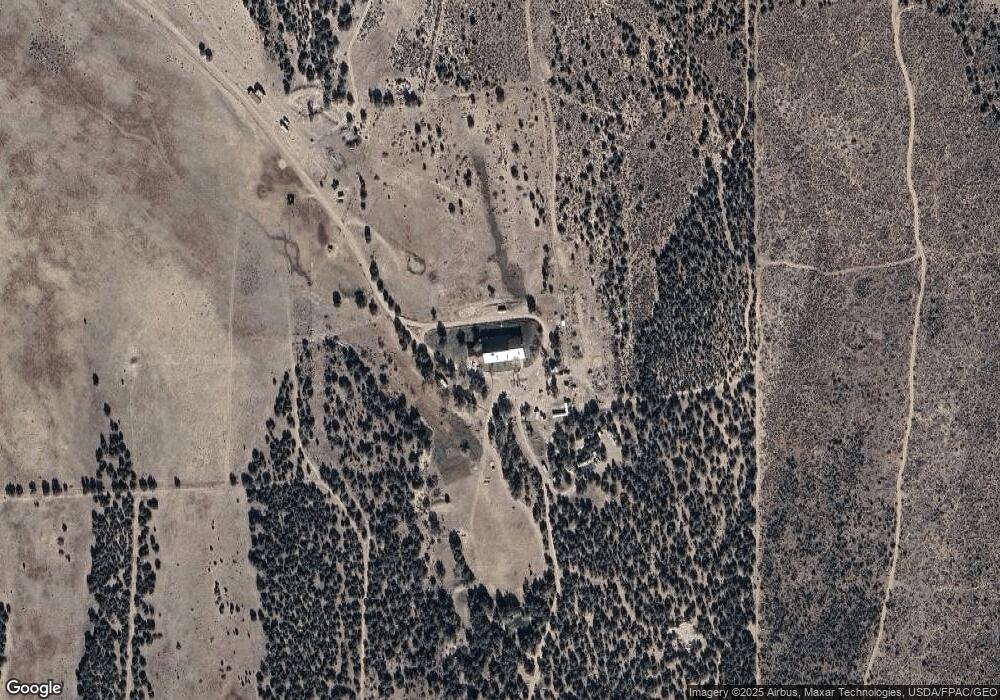
4085 W 8775 St S Fillmore, UT 84631
Estimated Value: $379,000
--
Bed
--
Bath
--
Sq Ft
115.75
Acres
About This Home
This home is located at 4085 W 8775 St S, Fillmore, UT 84631 and is currently priced at $379,000. 4085 W 8775 St S is a home.
Ownership History
Date
Name
Owned For
Owner Type
Purchase Details
Closed on
Feb 18, 2015
Sold by
Armand J Armand J
Bought by
Leach Stephen C and The 1999 Leach Family Trust Dated Septem
Current Estimated Value
Purchase Details
Closed on
Feb 5, 2015
Sold by
Steven C Steven C and Leach Bruce G
Bought by
Crawford James L
Purchase Details
Closed on
Sep 10, 2007
Sold by
Crawford James J and Crawford James L
Bought by
Crawford James Jonathan and Rios Heather M
Purchase Details
Closed on
Oct 21, 2005
Sold by
Hardy Steven S and Hardy Carol A
Bought by
Crawford James L
Home Financials for this Owner
Home Financials are based on the most recent Mortgage that was taken out on this home.
Original Mortgage
$1,050,000
Interest Rate
5.74%
Mortgage Type
Purchase Money Mortgage
Create a Home Valuation Report for This Property
The Home Valuation Report is an in-depth analysis detailing your home's value as well as a comparison with similar homes in the area
Home Values in the Area
Average Home Value in this Area
Purchase History
| Date | Buyer | Sale Price | Title Company |
|---|---|---|---|
| Leach Stephen C | -- | Skyview Title Insurance Ag | |
| Crawford James L | -- | Skyview Title Insur Ag | |
| Crawford James Jonathan | -- | -- | |
| Crawford James L | -- | -- |
Source: Public Records
Mortgage History
| Date | Status | Borrower | Loan Amount |
|---|---|---|---|
| Previous Owner | Crawford James L | $1,050,000 |
Source: Public Records
Tax History Compared to Growth
Tax History
| Year | Tax Paid | Tax Assessment Tax Assessment Total Assessment is a certain percentage of the fair market value that is determined by local assessors to be the total taxable value of land and additions on the property. | Land | Improvement |
|---|---|---|---|---|
| 2024 | $5,626 | $737,552 | $15,242 | $722,310 |
| 2023 | $5,626 | $737,552 | $15,242 | $722,310 |
| 2022 | $4,572 | $437,732 | $15,242 | $422,490 |
| 2021 | $3,805 | $351,842 | $13,592 | $338,250 |
| 2020 | $5,309 | $497,174 | $23,492 | $473,682 |
| 2019 | $4,797 | $452,838 | $23,492 | $429,346 |
| 2018 | $4,679 | $453,182 | $23,836 | $429,346 |
| 2017 | $4,835 | $447,182 | $17,836 | $429,346 |
| 2016 | $4,611 | $447,182 | $17,836 | $429,346 |
| 2015 | $4,612 | $447,182 | $0 | $447,182 |
| 2014 | -- | $636,477 | $0 | $636,477 |
| 2013 | -- | $636,477 | $0 | $636,477 |
Source: Public Records
Map
Nearby Homes
- 8610 S Highway 91
- 15 W 200 S
- 115 W 200 S
- 135 E 200 N
- 339 N 100 Rd W
- 453 N 100 West Rd
- 5098 W Hatton Rd
- Parcel # 8816
- 10 S Main St
- 60 W Center St
- 50 N 100 Rd E
- 2970 N Mud Spring Hollow Rd Unit LotWP001
- 0 Tbd Black Rock Rd Unit LotWP001
- 1615 W Sunflower Ln Unit 4
- 1565 W Sunflower Ln Unit 3
- 1765 W Sunflower Ln Unit 7
- 2000 N West Frontage I-15
- 1100 S 725 Rd W
- 760 E 700 St S
- 190 W 400 St S