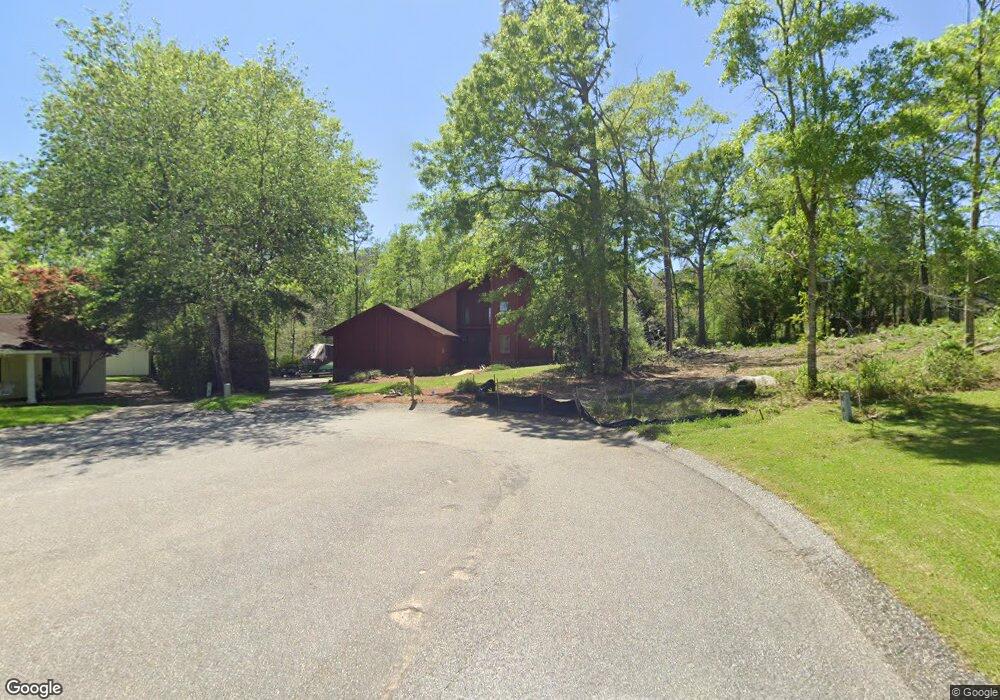
4089 Kings Row Mobile, AL 36619
Prospect NeighborhoodEstimated Value: $268,000 - $398,000
3
Beds
4
Baths
2,990
Sq Ft
$101/Sq Ft
Est. Value
About This Home
This home is located at 4089 Kings Row, Mobile, AL 36619 and is currently estimated at $302,251, approximately $101 per square foot. 4089 Kings Row is a home located in Mobile County with nearby schools including O'rourke Elementary School, Bernice J Causey Middle School, and Baker High School.
Ownership History
Date
Name
Owned For
Owner Type
Purchase Details
Closed on
Jan 17, 2003
Sold by
Stout Roderick P and Stout Judy P
Bought by
Frennea Brian Raymond
Current Estimated Value
Home Financials for this Owner
Home Financials are based on the most recent Mortgage that was taken out on this home.
Original Mortgage
$104,000
Outstanding Balance
$44,335
Interest Rate
6.01%
Mortgage Type
Purchase Money Mortgage
Estimated Equity
$257,916
Create a Home Valuation Report for This Property
The Home Valuation Report is an in-depth analysis detailing your home's value as well as a comparison with similar homes in the area
Home Values in the Area
Average Home Value in this Area
Purchase History
| Date | Buyer | Sale Price | Title Company |
|---|---|---|---|
| Frennea Brian Raymond | -- | -- |
Source: Public Records
Mortgage History
| Date | Status | Borrower | Loan Amount |
|---|---|---|---|
| Open | Frennea Brian Raymond | $104,000 | |
| Closed | Frennea Brian Raymond | $11,000 |
Source: Public Records
Tax History Compared to Growth
Tax History
| Year | Tax Paid | Tax Assessment Tax Assessment Total Assessment is a certain percentage of the fair market value that is determined by local assessors to be the total taxable value of land and additions on the property. | Land | Improvement |
|---|---|---|---|---|
| 2024 | $1,220 | $25,390 | $2,500 | $22,890 |
| 2023 | $1,285 | $24,160 | $2,500 | $21,660 |
| 2022 | $962 | $21,220 | $3,500 | $17,720 |
| 2021 | $1,009 | $22,170 | $3,500 | $18,670 |
| 2020 | $1,009 | $22,170 | $3,500 | $18,670 |
| 2019 | $985 | $21,700 | $0 | $0 |
| 2018 | $985 | $21,700 | $0 | $0 |
| 2017 | $985 | $21,700 | $0 | $0 |
| 2016 | $1,011 | $22,220 | $0 | $0 |
| 2013 | $1,103 | $23,840 | $0 | $0 |
Source: Public Records
Map
Nearby Homes
- 0 Schillinger Rd S Unit 7638709
- 7801 Lantern Way
- 8148 Valor Ridge Way N
- 7910 Valor Ridge Way N
- 7971 Valor Ridge Way N
- 8117 Valor Ridge Way N
- 7901 Valor Ridge Way N
- 8182 Valor Ridge Way N
- The Lakeside Plan at Valor Ridge
- The Booth Plan at Valor Ridge
- The Cairn Plan at Valor Ridge
- The Aria Plan at Valor Ridge
- The Sawyer Plan at Valor Ridge
- The Denton Plan at Valor Ridge
- The Cali Plan at Valor Ridge
- 3864 Leroy Stevens Rd
- 4410 Valor Ridge Way W
- 4328 Hoffman Rd
- 4398 Valor Ridge Way W
- 4432 Cecil Bolton Dr
- 4081 Kings Row
- 8001 Hilltop St
- 4070 Kingsrow Unit 21
- 4070 Kingsrow
- 4060 Kings Row
- 4071 Kings Row
- 7961 Hilltop St Unit 2
- 4050 Kings Row
- 7951 Hilltop St
- 4063 Kingsrow
- 4063 Kings Row
- 4042 Kings Row
- 7941 Hilltop St
- 4055 Kings Row
- 7923 Lantern Way
- 8101 Hilltop St
- 7929 Lantern Way
- 8119 Hilltop St
- 7964 Hilltop St
- 4038 Kingsrow