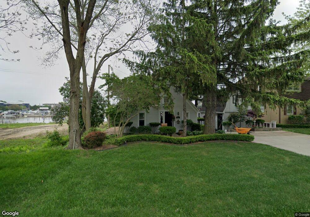
409 Fred W Moore Hwy Saint Clair, MI 48079
Estimated Value: $223,644 - $260,000
--
Bed
1
Bath
1,338
Sq Ft
$180/Sq Ft
Est. Value
About This Home
This home is located at 409 Fred W Moore Hwy, Saint Clair, MI 48079 and is currently estimated at $241,411, approximately $180 per square foot. 409 Fred W Moore Hwy is a home located in St. Clair County with nearby schools including Pine River Elementary School, St. Clair Middle School, and St. Clair High School.
Ownership History
Date
Name
Owned For
Owner Type
Purchase Details
Closed on
Jul 22, 2013
Sold by
Robertson William L
Bought by
Grates Steven J
Current Estimated Value
Purchase Details
Closed on
Sep 30, 2011
Sold by
Stewart Sondra
Bought by
Gates Steven J
Home Financials for this Owner
Home Financials are based on the most recent Mortgage that was taken out on this home.
Original Mortgage
$146,000
Interest Rate
4.11%
Mortgage Type
New Conventional
Purchase Details
Closed on
Mar 31, 2008
Sold by
Grates Steven J
Bought by
Grates Steven J
Create a Home Valuation Report for This Property
The Home Valuation Report is an in-depth analysis detailing your home's value as well as a comparison with similar homes in the area
Home Values in the Area
Average Home Value in this Area
Purchase History
| Date | Buyer | Sale Price | Title Company |
|---|---|---|---|
| Grates Steven J | -- | None Available | |
| Gates Steven J | -- | Fidelity National Title | |
| Grates Steven J | -- | None Available |
Source: Public Records
Mortgage History
| Date | Status | Borrower | Loan Amount |
|---|---|---|---|
| Previous Owner | Gates Steven J | $146,000 |
Source: Public Records
Tax History Compared to Growth
Tax History
| Year | Tax Paid | Tax Assessment Tax Assessment Total Assessment is a certain percentage of the fair market value that is determined by local assessors to be the total taxable value of land and additions on the property. | Land | Improvement |
|---|---|---|---|---|
| 2025 | $2,622 | $116,100 | $0 | $0 |
| 2024 | $2,360 | $113,300 | $0 | $0 |
| 2023 | $2,214 | $98,300 | $0 | $0 |
| 2022 | $2,437 | $77,800 | $0 | $0 |
| 2021 | $2,306 | $82,100 | $0 | $0 |
| 2020 | $2,304 | $82,000 | $82,000 | $0 |
| 2019 | $2,176 | $72,600 | $0 | $0 |
| 2018 | $2,189 | $69,100 | $0 | $0 |
| 2017 | $2,146 | $57,900 | $0 | $0 |
| 2016 | $1,983 | $57,900 | $0 | $0 |
| 2015 | -- | $53,500 | $53,500 | $0 |
| 2014 | -- | $52,500 | $52,500 | $0 |
| 2013 | -- | $52,700 | $0 | $0 |
Source: Public Records
Map
Nearby Homes
- 517 Cedar St
- TBD Range
- 703 Trumbull St
- 310 S 6th St
- 202 S 9th St
- 102 S 9th St
- 112 S 10th St
- 1464 S Riverside Ave
- 207 Palmer St
- 526 N 5th St
- 606 N 6th St
- 1627 S Riverside Ave Unit 4
- 1805 Clinton Ave
- 635 N 3rd St
- 738 N 9th St
- 231 S Carney Dr
- 592 Snowbird Cir E
- 3 S Carney Dr
- 2 S Carney Dr Unit Lot TBD
- 3 Riley Rd
- 401 Fred W Moore Hwy
- 415 Fred W Moore Hwy
- 408 Fred W Moore Hwy
- 402 Fred W Moore Hwy
- 416 Fred W Moore Hwy
- 315 Fred W Moore Hwy
- 309 Fred W Moore Hwy
- 316 Fred W Moore Hwy
- 909 S 7th St
- 901 S 7th St
- 917 S 7th St
- 308 Fred W Moore Hwy
- 507 Cedar St
- 815 S 7th St
- 302 Fred W Moore Hwy
- 809 S 7th St
- 908 S 7th St
- 914 S 7th St
- 215 Fred W Moore Hwy
- 1004 S 7th St