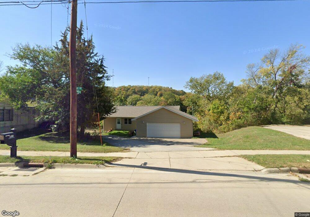
409 High St NE Elkader, IA 52043
Estimated Value: $169,000 - $207,000
2
Beds
2
Baths
1,440
Sq Ft
$131/Sq Ft
Est. Value
About This Home
This home is located at 409 High St NE, Elkader, IA 52043 and is currently estimated at $188,673, approximately $131 per square foot. 409 High St NE is a home located in Clayton County with nearby schools including Central Elementary School and Central Middle School/High School.
Ownership History
Date
Name
Owned For
Owner Type
Purchase Details
Closed on
Feb 26, 2021
Sold by
Herman Estates Llc
Bought by
Harvey Sheila M
Current Estimated Value
Home Financials for this Owner
Home Financials are based on the most recent Mortgage that was taken out on this home.
Original Mortgage
$112,000
Outstanding Balance
$17,778
Interest Rate
2.7%
Mortgage Type
New Conventional
Estimated Equity
$170,895
Purchase Details
Closed on
Dec 19, 2005
Sold by
Mctaggart Patrick W and Mctaggart Diane A
Bought by
Mctaggart Patrick W and Mctaggart Diane A
Create a Home Valuation Report for This Property
The Home Valuation Report is an in-depth analysis detailing your home's value as well as a comparison with similar homes in the area
Home Values in the Area
Average Home Value in this Area
Purchase History
| Date | Buyer | Sale Price | Title Company |
|---|---|---|---|
| Harvey Sheila M | $140,000 | None Available | |
| Mctaggart Patrick W | -- | None Available |
Source: Public Records
Mortgage History
| Date | Status | Borrower | Loan Amount |
|---|---|---|---|
| Open | Harvey Sheila M | $112,000 | |
| Previous Owner | Herman Estates Llc | $80,000 |
Source: Public Records
Tax History Compared to Growth
Tax History
| Year | Tax Paid | Tax Assessment Tax Assessment Total Assessment is a certain percentage of the fair market value that is determined by local assessors to be the total taxable value of land and additions on the property. | Land | Improvement |
|---|---|---|---|---|
| 2025 | $3,364 | $171,493 | $13,988 | $157,505 |
| 2024 | $3,054 | $144,861 | $12,164 | $132,697 |
| 2023 | $3,178 | $144,861 | $12,164 | $132,697 |
| 2022 | $2,940 | $130,579 | $11,058 | $119,521 |
| 2021 | $3,288 | $130,579 | $11,058 | $119,521 |
| 2020 | $3,288 | $142,189 | $11,058 | $131,131 |
| 2019 | $2,776 | $142,189 | $11,058 | $131,131 |
| 2018 | $2,776 | $134,554 | $11,058 | $123,496 |
| 2017 | $2,868 | $134,554 | $11,058 | $123,496 |
| 2015 | $2,352 | $114,599 | $7,735 | $106,864 |
| 2014 | $2,208 | $114,599 | $7,735 | $106,864 |
Source: Public Records
Map
Nearby Homes
- 302 N 3rd St
- 702 N Main St
- 301 N 1st St
- 707 N Main St
- 117 S Main St
- 0 E Bridge St
- 209 2nd St SW
- 710 Woodland Dr NW
- 26642 Iowa 13
- 247 Franzen Ridge Rd
- 249 Franzen Ridge Rd
- 27766 Highway 13
- 0 13 Hwy Unit NBR20255145
- 27455 Harbor Rd
- 14149 Iowa 56
- 0 Grandview Rd
- TBD Country Rd
- 305 S Russell St
- TBD Birch Rd
- 108 Adams Ct
- 410 High St NE
- 410 High St NE
- 415 High St NE
- 412 High St NE
- 414 High St NE
- 417 High St NE
- 306 High St NE
- 311 2nd St NE
- 207 Oak Ave NW Unit 5
- 207 Oak Ave NW
- 423 High St NE
- 0 High St Unit 20204539
- 309 N 2nd St
- 309 2nd St NE
- 301 Oak St NE
- 418 High St NE
- 304 High St NE
- 209 High St NE
- 303 2nd St NE
- 304 2nd St NE