409 Imperial Dr O Fallon, MO 63366
Estimated Value: $409,000 - $476,000
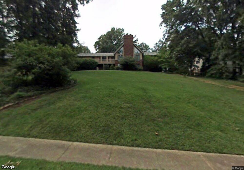
About This Home
This home is located at 409 Imperial Dr, O Fallon, MO 63366 and is currently estimated at $429,339, approximately $205 per square foot. 409 Imperial Dr is a home located in St. Charles County with nearby schools including Joseph L. Mudd Elementary School, Forest Park Elementary School, and Fort Zumwalt North Middle School.
Ownership History
We collect this data history from publicly available records. To have your information removed, we recommend requesting removal directly through your county’s website.
Purchase Details
Purchase Details
Home Financials for this Owner
Home Financials are based on the most recent Mortgage that was taken out on this home.Home Values in the Area
Average Home Value in this Area
Purchase History
We collect this data history from publicly available records. To have your information removed, we recommend requesting removal directly through your county’s website.
| Date | Buyer | Sale Price | Title Company |
|---|---|---|---|
| -- | None Available | ||
| -- | -- |
Mortgage History
We collect this data history from publicly available records. To have your information removed, we recommend requesting removal directly through your county’s website.
| Date | Status | Borrower | Loan Amount |
|---|---|---|---|
| Closed | $178,000 |
Tax History
We collect this data history from publicly available records. To have your information removed, we recommend requesting removal directly through your county’s website.
| Year | Tax Paid | Tax Assessment Tax Assessment Total Assessment is a certain percentage of the fair market value that is determined by local assessors to be the total taxable value of land and additions on the property. | Land | Improvement |
|---|---|---|---|---|
| 2025 | $4,062 | $69,655 | -- | -- |
| 2023 | $4,064 | $61,430 | $0 | $0 |
| 2022 | $3,730 | $52,443 | $0 | $0 |
| 2021 | $3,733 | $52,443 | $0 | $0 |
| 2020 | $3,391 | $46,121 | $0 | $0 |
| 2019 | $3,399 | $46,121 | $0 | $0 |
| 2018 | $3,893 | $50,502 | $0 | $0 |
| 2017 | $3,848 | $50,502 | $0 | $0 |
| 2016 | $3,418 | $44,672 | $0 | $0 |
| 2015 | $3,178 | $44,672 | $0 | $0 |
| 2014 | $3,096 | $42,788 | $0 | $0 |
Map
- 35 Winding Oaks Circle Dr
- 539 Galway Dr Unit 6B
- 105 Saint Margaret Ln
- 232 Sunset Villa Cir
- 202 Cypress Ct
- 1128 Patsy Ln
- 415 Montbrook Dr
- 902 Jacobs Ln
- 710 Longfellow Cir
- 109 Morningside Ln
- 727 Cordes St
- 314 Capri Dr
- 0 Montbrook Dr
- 714 Cordes St
- 306 Old Schaeffer Ln
- 2 Poe Ct
- 508 Briscoe Ave
- 807 Elaine Dr
- 1272 Ashford Place Dr
- 512 Sonderen St
- 501 Imperial Dr
- 405 Imperial Dr
- 418 Imperial Ct
- 422 Imperial Ct
- 507 Imperial Dr
- 410 Imperial Ct
- 502 Imperial Ct
- 412 Imperial Dr
- 504 Imperial Dr
- 408 Imperial Dr
- 513 Imperial Dr
- 515 Imperial Dr
- 406 Imperial Ct
- 508 Imperial Ct
- 601 Imperial Dr
- 506 Imperial Dr
- 419 Imperial Ct
- 402 Imperial Ct
- 512 Imperial Ct
- 415 Imperial Ct
Ask me questions while you tour the home.