409 McMartin St Beaman, IA 50609
Estimated Value: $52,000 - $296,000
3
Beds
2
Baths
1,447
Sq Ft
$95/Sq Ft
Est. Value
About This Home
This home is located at 409 McMartin St, Beaman, IA 50609 and is currently estimated at $137,652, approximately $95 per square foot. 409 McMartin St is a home with nearby schools including BCLUW Elementary School, BCLUW Middle School, and BCLUW High School.
Ownership History
Date
Name
Owned For
Owner Type
Purchase Details
Closed on
Nov 18, 2020
Sold by
Oak Tree Properties Llc
Bought by
Aldrich Marilyn
Current Estimated Value
Home Financials for this Owner
Home Financials are based on the most recent Mortgage that was taken out on this home.
Original Mortgage
$18,250
Outstanding Balance
$17,386
Interest Rate
8%
Mortgage Type
New Conventional
Estimated Equity
$120,266
Purchase Details
Closed on
Jan 7, 2014
Sold by
Ohp 12 Lc
Bought by
Aldrich Marilyn
Create a Home Valuation Report for This Property
The Home Valuation Report is an in-depth analysis detailing your home's value as well as a comparison with similar homes in the area
Home Values in the Area
Average Home Value in this Area
Purchase History
| Date | Buyer | Sale Price | Title Company |
|---|---|---|---|
| Aldrich Marilyn | $19,000 | None Available | |
| Aldrich Marilyn | $5,000 | None Available |
Source: Public Records
Mortgage History
| Date | Status | Borrower | Loan Amount |
|---|---|---|---|
| Open | Aldrich Marilyn | $18,250 |
Source: Public Records
Tax History Compared to Growth
Tax History
| Year | Tax Paid | Tax Assessment Tax Assessment Total Assessment is a certain percentage of the fair market value that is determined by local assessors to be the total taxable value of land and additions on the property. | Land | Improvement |
|---|---|---|---|---|
| 2025 | $404 | $39,080 | $8,880 | $30,200 |
| 2024 | $374 | $37,050 | $8,880 | $28,170 |
| 2023 | $438 | $37,050 | $8,880 | $28,170 |
| 2022 | $424 | $37,290 | $7,100 | $30,190 |
| 2021 | $424 | $37,290 | $7,100 | $30,190 |
| 2020 | $576 | $36,500 | $7,100 | $29,400 |
| 2019 | $586 | $35,400 | $0 | $0 |
| 2018 | $448 | $35,400 | $0 | $0 |
| 2017 | $496 | $35,400 | $7,100 | $28,300 |
| 2016 | $496 | $36,970 | $0 | $0 |
| 2015 | $496 | $41,330 | $0 | $0 |
| 2014 | $576 | $41,330 | $0 | $0 |
Source: Public Records
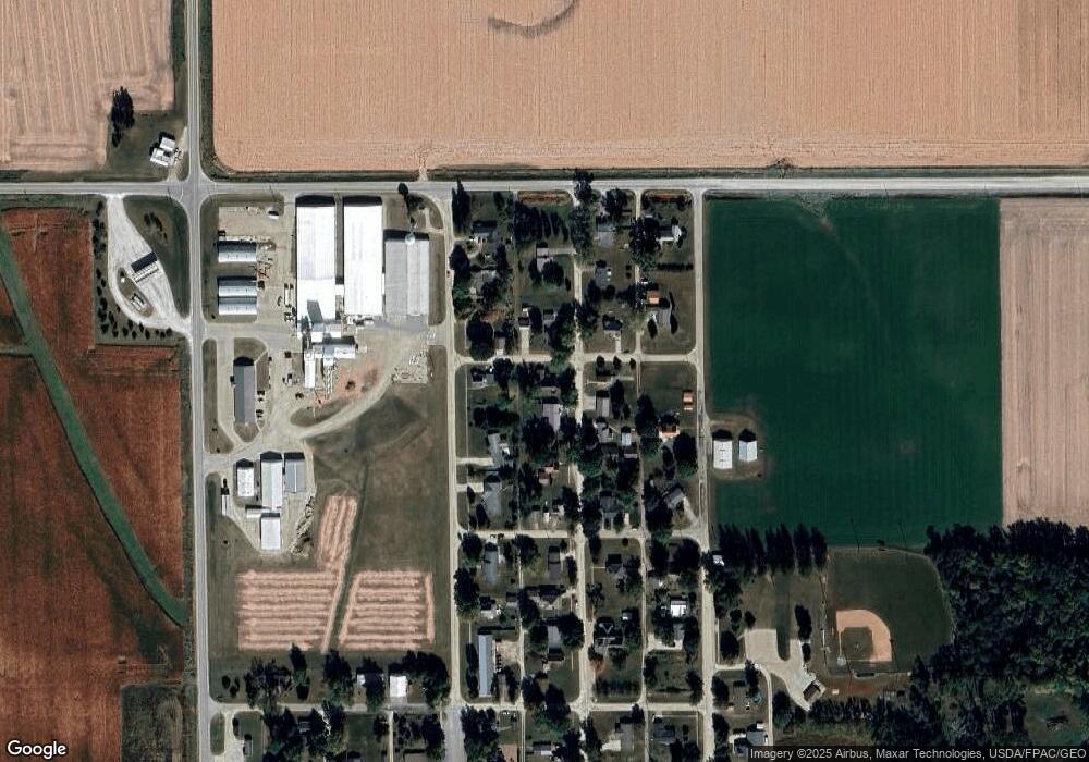
Map
Nearby Homes
- 206 N Hartwig St Unit Lot 2
- 611 E Center St
- 738 Circle Dr
- 707 Circle Dr
- 509 E Walnut St
- 213 N Dwight St
- 401 Farmers
- 405 Farmers
- 409 Farmers
- 413 Farmers
- 417 Farmers
- 401 N Vernon St Unit 22
- 405 N Vernon St Unit 21
- 409 N Vernon St Unit 20
- 410 N Vernon St Unit 40
- 613 Reo Rd
- 413 N Vernon St Unit 19
- 414 N Vernon St
- 414 N Vernon St Unit 41
- 417 N Vernon St Unit 18