Estimated Value: $1,059,000 - $1,453,000
5
Beds
4
Baths
3,596
Sq Ft
$355/Sq Ft
Est. Value
About This Home
This home is located at 409 Roberts Cove Rd, Alton, NH 03809 and is currently estimated at $1,276,439, approximately $354 per square foot. 409 Roberts Cove Rd is a home with nearby schools including Alton Central School (Elem) and Prospect Mountain High School.
Ownership History
Date
Name
Owned For
Owner Type
Purchase Details
Closed on
May 14, 2021
Sold by
Woodrow Stuart M
Bought by
Stuart M Woodrow T
Current Estimated Value
Purchase Details
Closed on
Nov 28, 2018
Sold by
Woodrow Stuart M and Woodrow Mary A
Bought by
Woodrow Stuart M
Purchase Details
Closed on
Jan 16, 2004
Sold by
Woodrow Stuart M and Woodrow Mary Ann
Bought by
Woodrow Stuart M and Woodrow Mary Ann
Create a Home Valuation Report for This Property
The Home Valuation Report is an in-depth analysis detailing your home's value as well as a comparison with similar homes in the area
Home Values in the Area
Average Home Value in this Area
Purchase History
| Date | Buyer | Sale Price | Title Company |
|---|---|---|---|
| Stuart M Woodrow T | -- | None Available | |
| Woodrow Stuart M | -- | -- | |
| Woodrow Stuart M | $62,800 | -- |
Source: Public Records
Mortgage History
| Date | Status | Borrower | Loan Amount |
|---|---|---|---|
| Previous Owner | Woodrow Stuart M | $225,000 |
Source: Public Records
Tax History Compared to Growth
Tax History
| Year | Tax Paid | Tax Assessment Tax Assessment Total Assessment is a certain percentage of the fair market value that is determined by local assessors to be the total taxable value of land and additions on the property. | Land | Improvement |
|---|---|---|---|---|
| 2024 | $9,712 | $748,200 | $303,200 | $445,000 |
| 2022 | $8,507 | $748,200 | $303,200 | $445,000 |
| 2021 | $8,515 | $748,200 | $303,200 | $445,000 |
| 2020 | $8,391 | $601,500 | $192,400 | $409,100 |
| 2019 | $7,525 | $601,500 | $192,400 | $409,100 |
| 2018 | $7,808 | $601,000 | $192,400 | $408,600 |
| 2017 | $7,729 | $601,000 | $192,400 | $408,600 |
| 2016 | $7,955 | $562,200 | $212,500 | $349,700 |
| 2015 | $8,023 | $562,200 | $212,500 | $349,700 |
| 2014 | $8,012 | $578,500 | $241,100 | $337,400 |
| 2013 | $7,337 | $545,900 | $201,200 | $344,700 |
Source: Public Records
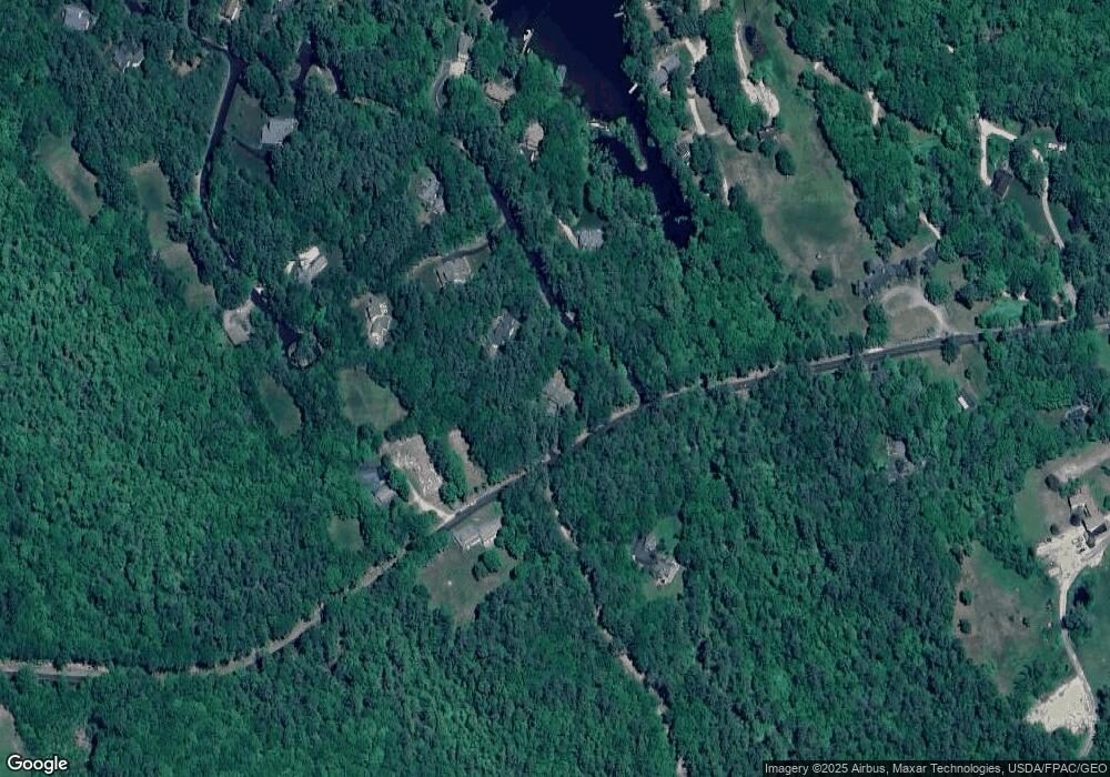
Map
Nearby Homes
- 104 Hopewell Rd
- 120 Big Barndoor Island
- 5 Delings Cove Rd
- 117 Hayes Rd
- 39 Winnipesaukee Dr
- 18-8 Winnipesaukee Dr
- 00 Winnipesaukee Dr Unit 10
- 87 Timberlane P
- 163 Clark Rd
- 87 Middleton Rd
- 116 Middleton Rd
- 106 Middleton Rd
- 195 Sewall Rd
- 337 S Main St Unit Interval week 4 Janu
- 180 Sewall Rd
- 21 Goodrich Rd
- 79 S Main St
- 68 Railroad Ave Unit 3
- 61 Lehner St
- 208 Forest Rd
- 11 Pipers Point Ln
- 411 Roberts Cove Rd
- 30 Pipers Point Ln
- 17 Pipers Point Ln
- 25 Pipers Point Ln
- 20 Pipers Point Ln
- 400 Roberts Cove Rd
- 410 Roberts Cove Rd
- 40 Orchard Ln
- 27 Pipers Point Ln
- 22 Pipers Point Ln
- 29 Brook and Bridle Ln
- 27 Orchard Ln
- 34 Pipers Point Ln
- 28 Brook and Bridle Ln
- 28 Orchard Ln
- 35 Brook and Bridle Ln
- 436 Roberts Cove Rd
- 443 Roberts Cove Rd
- 36 Pipers Point Ln