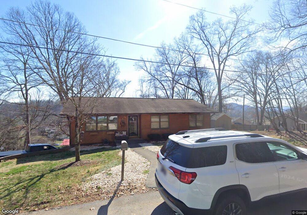
409 Robin Ct Kingsport, TN 37664
Estimated Value: $205,726 - $269,000
--
Bed
2
Baths
1,248
Sq Ft
$188/Sq Ft
Est. Value
About This Home
This home is located at 409 Robin Ct, Kingsport, TN 37664 and is currently estimated at $234,682, approximately $188 per square foot. 409 Robin Ct is a home located in Sullivan County with nearby schools including Indian Springs Elementary School and Sullivan Central Middle School.
Ownership History
Date
Name
Owned For
Owner Type
Purchase Details
Closed on
Sep 30, 2008
Sold by
Clayton Jo Rita
Bought by
Davis William Frederick
Current Estimated Value
Home Financials for this Owner
Home Financials are based on the most recent Mortgage that was taken out on this home.
Original Mortgage
$56,000
Outstanding Balance
$13,822
Interest Rate
6.34%
Estimated Equity
$220,860
Purchase Details
Closed on
Sep 24, 2002
Sold by
Clayton Michael V
Bought by
Johnson Jo Rita C
Purchase Details
Closed on
Jul 1, 2002
Purchase Details
Closed on
Jan 3, 2002
Create a Home Valuation Report for This Property
The Home Valuation Report is an in-depth analysis detailing your home's value as well as a comparison with similar homes in the area
Home Values in the Area
Average Home Value in this Area
Purchase History
| Date | Buyer | Sale Price | Title Company |
|---|---|---|---|
| Davis William Frederick | $84,000 | -- | |
| Johnson Jo Rita C | $80,000 | -- | |
| -- | $60,000 | -- | |
| -- | $76,800 | -- |
Source: Public Records
Mortgage History
| Date | Status | Borrower | Loan Amount |
|---|---|---|---|
| Open | -- | $56,000 |
Source: Public Records
Tax History Compared to Growth
Tax History
| Year | Tax Paid | Tax Assessment Tax Assessment Total Assessment is a certain percentage of the fair market value that is determined by local assessors to be the total taxable value of land and additions on the property. | Land | Improvement |
|---|---|---|---|---|
| 2024 | $825 | $33,050 | $4,650 | $28,400 |
| 2023 | $795 | $33,050 | $4,650 | $28,400 |
| 2022 | $795 | $33,050 | $4,650 | $28,400 |
| 2021 | $795 | $33,050 | $4,650 | $28,400 |
| 2020 | $796 | $33,050 | $4,650 | $28,400 |
| 2019 | $796 | $30,975 | $4,650 | $26,325 |
| 2018 | $790 | $30,975 | $4,650 | $26,325 |
| 2017 | $790 | $30,975 | $4,650 | $26,325 |
| 2016 | $780 | $30,275 | $3,500 | $26,775 |
| 2014 | $698 | $30,258 | $0 | $0 |
Source: Public Records
Map
Nearby Homes
- 4886 Eagle Pointe Dr
- 0 Foxfire Ln
- 192 Stage Rd
- 321 Rockwood St
- Lot 3 Country Dr
- Lot 2 Country Dr
- Lot 21 Country Dr
- 0 Orebank Rd Unit 307463
- 0 Orebank Rd Unit 11537999
- 5312 Foxfire Place
- 5221 Foxfire Place
- 0 Moody Dr
- 120 Lemay Dr
- 5705 Concord St
- 5725 Chestnut Hills Dr
- 105 Lemay Dr
- 845 Emory Church Rd
- 4682 Old Stage Rd
- TBD Chestnut Ridge Rd
- 121 Southridge Dr