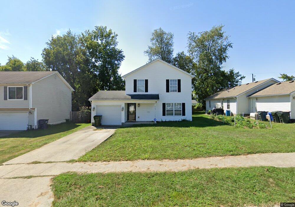
409 Scottsdale Cir Lexington, KY 40511
Winburn-Griffin Gate NeighborhoodEstimated Value: $201,000 - $262,000
3
Beds
3
Baths
1,477
Sq Ft
$159/Sq Ft
Est. Value
About This Home
This home is located at 409 Scottsdale Cir, Lexington, KY 40511 and is currently estimated at $234,289, approximately $158 per square foot. 409 Scottsdale Cir is a home located in Fayette County with nearby schools including Northern Elementary School, Winburn Middle School, and Bryan Station High School.
Ownership History
Date
Name
Owned For
Owner Type
Purchase Details
Closed on
Aug 18, 2009
Sold by
Reynolds Richard D and Reynolds Laura J
Bought by
Franklin Latrina
Current Estimated Value
Home Financials for this Owner
Home Financials are based on the most recent Mortgage that was taken out on this home.
Original Mortgage
$79,540
Outstanding Balance
$51,993
Interest Rate
5.26%
Mortgage Type
Purchase Money Mortgage
Estimated Equity
$182,296
Purchase Details
Closed on
Sep 5, 2008
Sold by
Nagle Valerie
Bought by
Reynolds Richard D and Reynolds Laura J
Home Financials for this Owner
Home Financials are based on the most recent Mortgage that was taken out on this home.
Original Mortgage
$74,500
Interest Rate
6.49%
Mortgage Type
Purchase Money Mortgage
Create a Home Valuation Report for This Property
The Home Valuation Report is an in-depth analysis detailing your home's value as well as a comparison with similar homes in the area
Home Values in the Area
Average Home Value in this Area
Purchase History
| Date | Buyer | Sale Price | Title Company |
|---|---|---|---|
| Franklin Latrina | $117,000 | -- | |
| Reynolds Richard D | $94,500 | None Available |
Source: Public Records
Mortgage History
| Date | Status | Borrower | Loan Amount |
|---|---|---|---|
| Open | Franklin Latrina | $79,540 | |
| Previous Owner | Reynolds Richard D | $74,500 |
Source: Public Records
Tax History Compared to Growth
Tax History
| Year | Tax Paid | Tax Assessment Tax Assessment Total Assessment is a certain percentage of the fair market value that is determined by local assessors to be the total taxable value of land and additions on the property. | Land | Improvement |
|---|---|---|---|---|
| 2024 | $2,139 | $173,000 | $0 | $0 |
| 2023 | $2,139 | $173,000 | $0 | $0 |
| 2022 | $1,783 | $139,600 | $0 | $0 |
| 2021 | $1,783 | $139,600 | $0 | $0 |
| 2020 | $1,783 | $139,600 | $0 | $0 |
| 2019 | $1,783 | $139,600 | $0 | $0 |
| 2018 | $1,495 | $117,000 | $0 | $0 |
| 2017 | $1,424 | $117,000 | $0 | $0 |
| 2015 | $1,309 | $117,000 | $0 | $0 |
| 2014 | $1,309 | $117,000 | $0 | $0 |
| 2012 | $1,309 | $117,000 | $0 | $0 |
Source: Public Records
Map
Nearby Homes
- 485 Scottsdale Cir
- 429 Kilpatrick Ct
- 364 Scottsdale Cir
- 1704 Silver Ln
- 1706 Cameron Ct
- 1602 Astaire Ct
- 1724 Silver Ln
- 500 Southridge Dr
- 501 Dover Rd
- 1742 Russell Cave Rd
- 642 Bishop Dr
- 1766 Russell Cave Rd
- 1801 Russell Cave Rd
- 1372 Sugar Maple Ln
- 917 Dawson Creek Way
- 721 Newtown Springs Dr
- 1821 Blue Ridge Dr
- 1747 Old Paris Rd
- 114 Northwood Dr
- 1834 Donco Ct
- 413 Scottsdale Cir
- 405 Scottsdale Cir
- 1504 Rodney Place
- 417 Scottsdale Cir
- 461 Hollow Creek Rd
- 465 Hollow Creek Rd
- 457 Hollow Creek Rd
- 412 Scottsdale Cir
- 408 Scottsdale Cir
- 421 Scottsdale Cir
- 1505 Rodney Place
- 404 Scottsdale Cir
- 453 Hollow Creek Rd
- 420 Scottsdale Cir
- 400 Scottsdale Cir
- 501 Hollow Creek Rd
- 449 Hollow Creek Rd
- 393 Scottsdale Cir
- 425 Scottsdale Cir
- 480 Scottsdale Cir