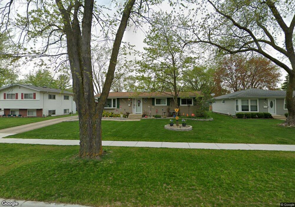
409 Spruce St North Aurora, IL 60542
Estimated Value: $271,951 - $313,000
3
Beds
--
Bath
1,194
Sq Ft
$249/Sq Ft
Est. Value
About This Home
This home is located at 409 Spruce St, North Aurora, IL 60542 and is currently estimated at $297,738, approximately $249 per square foot. 409 Spruce St is a home located in Kane County with nearby schools including Schneider Elementary School, Herget Middle School, and West Aurora High School.
Ownership History
Date
Name
Owned For
Owner Type
Purchase Details
Closed on
Dec 7, 2009
Sold by
Lumbert Donald R and Lumbert Carrie A
Bought by
Lumbert Carrie A
Current Estimated Value
Home Financials for this Owner
Home Financials are based on the most recent Mortgage that was taken out on this home.
Original Mortgage
$130,000
Outstanding Balance
$85,054
Interest Rate
4.96%
Mortgage Type
New Conventional
Estimated Equity
$212,684
Purchase Details
Closed on
Jul 22, 2002
Sold by
Lumbert Donald R and Cryer Carrie A
Bought by
Lumbert Donald R and Lumbert Carrie A
Purchase Details
Closed on
Apr 26, 2002
Sold by
Johnson James A and Johnson Karen A
Bought by
Lumbert Donald R and Cryer Carrie A
Home Financials for this Owner
Home Financials are based on the most recent Mortgage that was taken out on this home.
Original Mortgage
$134,000
Interest Rate
7.18%
Create a Home Valuation Report for This Property
The Home Valuation Report is an in-depth analysis detailing your home's value as well as a comparison with similar homes in the area
Home Values in the Area
Average Home Value in this Area
Purchase History
| Date | Buyer | Sale Price | Title Company |
|---|---|---|---|
| Lumbert Carrie A | -- | First American Title | |
| Lumbert Donald R | -- | Chicago Title Insurance Co | |
| Lumbert Donald R | $175,000 | Greater Illinois Title Compa |
Source: Public Records
Mortgage History
| Date | Status | Borrower | Loan Amount |
|---|---|---|---|
| Open | Lumbert Carrie A | $130,000 | |
| Closed | Lumbert Donald R | $134,000 |
Source: Public Records
Tax History
| Year | Tax Paid | Tax Assessment Tax Assessment Total Assessment is a certain percentage of the fair market value that is determined by local assessors to be the total taxable value of land and additions on the property. | Land | Improvement |
|---|---|---|---|---|
| 2024 | $5,053 | $75,226 | $13,222 | $62,004 |
| 2023 | $5,032 | $69,848 | $13,573 | $56,275 |
| 2022 | $4,504 | $60,497 | $12,685 | $47,812 |
| 2021 | $4,368 | $57,376 | $12,031 | $45,345 |
| 2020 | $4,349 | $56,273 | $11,800 | $44,473 |
| 2019 | $4,389 | $54,281 | $11,382 | $42,899 |
| 2018 | $4,344 | $52,213 | $10,948 | $41,265 |
| 2017 | $4,305 | $50,491 | $10,587 | $39,904 |
| 2016 | $4,289 | $49,021 | $10,279 | $38,742 |
| 2015 | -- | $47,905 | $10,045 | $37,860 |
| 2014 | -- | $46,397 | $9,729 | $36,668 |
| 2013 | -- | $48,671 | $12,718 | $35,953 |
Source: Public Records
Map
Nearby Homes
Your Personal Tour Guide
Ask me questions while you tour the home.