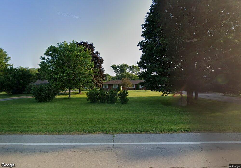
409 W State Route 571 Tipp City, OH 45371
Estimated Value: $324,000 - $385,000
4
Beds
2
Baths
2,371
Sq Ft
$147/Sq Ft
Est. Value
About This Home
This home is located at 409 W State Route 571, Tipp City, OH 45371 and is currently estimated at $348,428, approximately $146 per square foot. 409 W State Route 571 is a home located in Miami County with nearby schools including Broadway Elementary School, Nevin Coppock Elementary School, and L. T. Ball Intermediate School.
Ownership History
Date
Name
Owned For
Owner Type
Purchase Details
Closed on
Jan 24, 2011
Sold by
Adams John E and Adams Florence I
Bought by
Adams John E and Adams Florence
Current Estimated Value
Purchase Details
Closed on
Mar 11, 2010
Sold by
Estate Of Dorothy E Skaar
Bought by
Adams John E and Adams Florence I
Purchase Details
Closed on
Mar 7, 2005
Sold by
Estate Of Leo George Enz
Bought by
Skaar Dorothy E
Create a Home Valuation Report for This Property
The Home Valuation Report is an in-depth analysis detailing your home's value as well as a comparison with similar homes in the area
Home Values in the Area
Average Home Value in this Area
Purchase History
| Date | Buyer | Sale Price | Title Company |
|---|---|---|---|
| Adams John E | -- | -- | |
| Adams John E | $145,000 | -- | |
| Skaar Dorothy E | $170,400 | -- |
Source: Public Records
Tax History Compared to Growth
Tax History
| Year | Tax Paid | Tax Assessment Tax Assessment Total Assessment is a certain percentage of the fair market value that is determined by local assessors to be the total taxable value of land and additions on the property. | Land | Improvement |
|---|---|---|---|---|
| 2024 | $3,819 | $82,260 | $23,630 | $58,630 |
| 2023 | $3,819 | $82,260 | $23,630 | $58,630 |
| 2022 | $3,552 | $82,260 | $23,630 | $58,630 |
| 2021 | $2,694 | $60,940 | $17,500 | $43,440 |
| 2020 | $2,726 | $60,940 | $17,500 | $43,440 |
| 2019 | $2,750 | $60,940 | $17,500 | $43,440 |
| 2018 | $2,718 | $56,850 | $11,240 | $45,610 |
| 2017 | $2,728 | $56,850 | $11,240 | $45,610 |
| 2016 | $2,616 | $56,850 | $11,240 | $45,610 |
| 2015 | $2,164 | $50,760 | $10,050 | $40,710 |
| 2014 | $2,164 | $50,760 | $10,050 | $40,710 |
| 2013 | $2,175 | $50,760 | $10,050 | $40,710 |
Source: Public Records
Map
Nearby Homes
- 6201 S Co Road 25a
- 512 Cider Mill Way
- 295 Coach Dr
- 5700 S Co Road 25a
- 000 Kinna Dr
- 5998 Sterling Ct
- 6060 Detrick Rd
- 389 N Garber Dr
- 403 Sydney Dr
- 527 Bellaire Dr
- 1103 Honeydew Dr
- 397 Miles Ave
- 28 Warner Dr
- 425 Sydney Dr
- 5580 Peters Rd
- 1101 Honeydew Dr
- The Prescott Plan at Fieldstone Place
- The Lynwood Plan at Emerson Crossing
- The Concord Plan at Emerson Crossing
- The Magnolia Plan at Fieldstone Place
- 409 Ohio 571
- 385 W State Route 571
- 427 W State Route 571
- 427 Ohio 571
- 450 E Rt571
- 365 W State Route 571
- 445 W State Route 571
- 345 W State Route 571
- 335 W State Route 571
- 5495 David Dr
- 5465 David Dr
- 5515 David Dr
- 295 W State Route 571
- 277 W State Route 571
- 5395 David Dr
- 5490 David Dr
- 5460 David Dr
- 5533 David Dr
- 255 W State Route 571
- 5430 David Dr