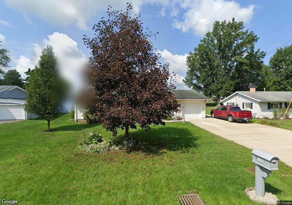
4095 Sabin Dr Rootstown, OH 44272
Estimated Value: $191,000 - $242,000
4
Beds
1
Bath
1,720
Sq Ft
$124/Sq Ft
Est. Value
About This Home
This home is located at 4095 Sabin Dr, Rootstown, OH 44272 and is currently estimated at $213,106, approximately $123 per square foot. 4095 Sabin Dr is a home located in Portage County with nearby schools including Rootstown Middle School - Schnee Building and Rootstown High School.
Ownership History
Date
Name
Owned For
Owner Type
Purchase Details
Closed on
Aug 8, 2005
Sold by
Mundy Macel J
Bought by
Miley Daniel R and Miley Barbara S
Current Estimated Value
Home Financials for this Owner
Home Financials are based on the most recent Mortgage that was taken out on this home.
Original Mortgage
$82,000
Interest Rate
5.69%
Mortgage Type
Fannie Mae Freddie Mac
Purchase Details
Closed on
Jan 1, 1990
Bought by
Mundy Macel J
Create a Home Valuation Report for This Property
The Home Valuation Report is an in-depth analysis detailing your home's value as well as a comparison with similar homes in the area
Purchase History
| Date | Buyer | Sale Price | Title Company |
|---|---|---|---|
| Miley Daniel R | $103,000 | Land America-Lawyers Title | |
| Mundy Macel J | -- | -- |
Source: Public Records
Mortgage History
| Date | Status | Borrower | Loan Amount |
|---|---|---|---|
| Closed | Miley Daniel R | $82,000 |
Source: Public Records
Tax History
| Year | Tax Paid | Tax Assessment Tax Assessment Total Assessment is a certain percentage of the fair market value that is determined by local assessors to be the total taxable value of land and additions on the property. | Land | Improvement |
|---|---|---|---|---|
| 2025 | $2,343 | $55,440 | $7,910 | $47,530 |
| 2024 | $2,254 | $55,440 | $7,910 | $47,530 |
| 2023 | $1,998 | $43,790 | $7,910 | $35,880 |
| 2022 | $1,972 | $43,790 | $7,910 | $35,880 |
| 2021 | $1,968 | $43,790 | $7,910 | $35,880 |
| 2020 | $1,814 | $38,850 | $7,910 | $30,940 |
| 2019 | $1,821 | $38,850 | $7,910 | $30,940 |
| 2018 | $1,604 | $32,380 | $7,910 | $24,470 |
| 2017 | $1,604 | $32,380 | $7,910 | $24,470 |
| 2016 | $1,571 | $32,380 | $7,910 | $24,470 |
| 2015 | $1,573 | $32,380 | $7,910 | $24,470 |
| 2014 | $1,602 | $32,380 | $7,910 | $24,470 |
| 2013 | $1,591 | $32,380 | $7,910 | $24,470 |
Source: Public Records
Map
Nearby Homes
- 4079 Siefer Dr
- 0 Lynn Rd Unit 5110102
- 3689 Cherry Hill
- 3701 State Route 44
- V/L 2 Lynn Rd
- V/L Lynn Rd
- 4415 Farmette Dr
- 4200 Hattrick Rd
- sub lot Lane Ave
- 4556 Rootstown Rd
- 0 Tallmadge Rd Unit 5189301
- 0 Tallmadge Rd Unit 5189314
- 4140 Sandy Lake Rd
- 4058 Bayberry Knoll Ln
- 3637 Old Forge Rd
- 5394 Juniper Ct
- 3021 Hartville Rd
- 3925 Summit Rd
- 2978 Sandy Lake Rd
- 1065 Shadowlawn Dr
Your Personal Tour Guide
Ask me questions while you tour the home.