4096 Upper Mountain Rd Furlong, PA 18925
Estimated Value: $633,000 - $1,468,000
5
Beds
3
Baths
2,922
Sq Ft
$351/Sq Ft
Est. Value
About This Home
This home is located at 4096 Upper Mountain Rd, Furlong, PA 18925 and is currently estimated at $1,024,232, approximately $350 per square foot. 4096 Upper Mountain Rd is a home with nearby schools including Buckingham Elementary School, Holicong Middle School, and Central Bucks High School - East.
Ownership History
Date
Name
Owned For
Owner Type
Purchase Details
Closed on
May 20, 2011
Sold by
Yerkes Leslie S and Scott Yerkes R
Bought by
Yerkes R Scott and Yerkes Rhonda A
Current Estimated Value
Purchase Details
Closed on
Mar 31, 2010
Sold by
Yerkes Leslie S and Scott Yerkes R
Bought by
Yerkes Leslie S and Scott Yerkes R
Purchase Details
Closed on
Apr 1, 2009
Sold by
Yerkes Leslie S
Bought by
Yerkes Leslie S and Scott Yerkes R
Purchase Details
Closed on
Jun 13, 2003
Sold by
Yerkes Leslie S
Bought by
Yerkes Leslie S
Create a Home Valuation Report for This Property
The Home Valuation Report is an in-depth analysis detailing your home's value as well as a comparison with similar homes in the area
Home Values in the Area
Average Home Value in this Area
Purchase History
| Date | Buyer | Sale Price | Title Company |
|---|---|---|---|
| Yerkes R Scott | -- | None Available | |
| Yerkes Leslie S | -- | None Available | |
| Yerkes Leslie S | -- | None Available | |
| Yerkes Leslie S | -- | -- |
Source: Public Records
Tax History Compared to Growth
Tax History
| Year | Tax Paid | Tax Assessment Tax Assessment Total Assessment is a certain percentage of the fair market value that is determined by local assessors to be the total taxable value of land and additions on the property. | Land | Improvement |
|---|---|---|---|---|
| 2025 | $8,889 | $54,600 | $4,400 | $50,200 |
| 2024 | $8,889 | $54,600 | $4,400 | $50,200 |
| 2023 | $8,588 | $54,600 | $4,400 | $50,200 |
| 2022 | $8,485 | $54,600 | $4,400 | $50,200 |
| 2021 | $8,384 | $102,880 | $52,680 | $50,200 |
| 2020 | $8,384 | $102,880 | $52,680 | $50,200 |
| 2019 | $8,329 | $102,880 | $52,680 | $50,200 |
| 2018 | $8,329 | $102,880 | $52,680 | $50,200 |
| 2017 | $8,261 | $102,880 | $52,680 | $50,200 |
| 2016 | -- | $102,880 | $52,680 | $50,200 |
| 2015 | -- | $102,880 | $52,680 | $50,200 |
| 2014 | -- | $102,880 | $52,680 | $50,200 |
Source: Public Records
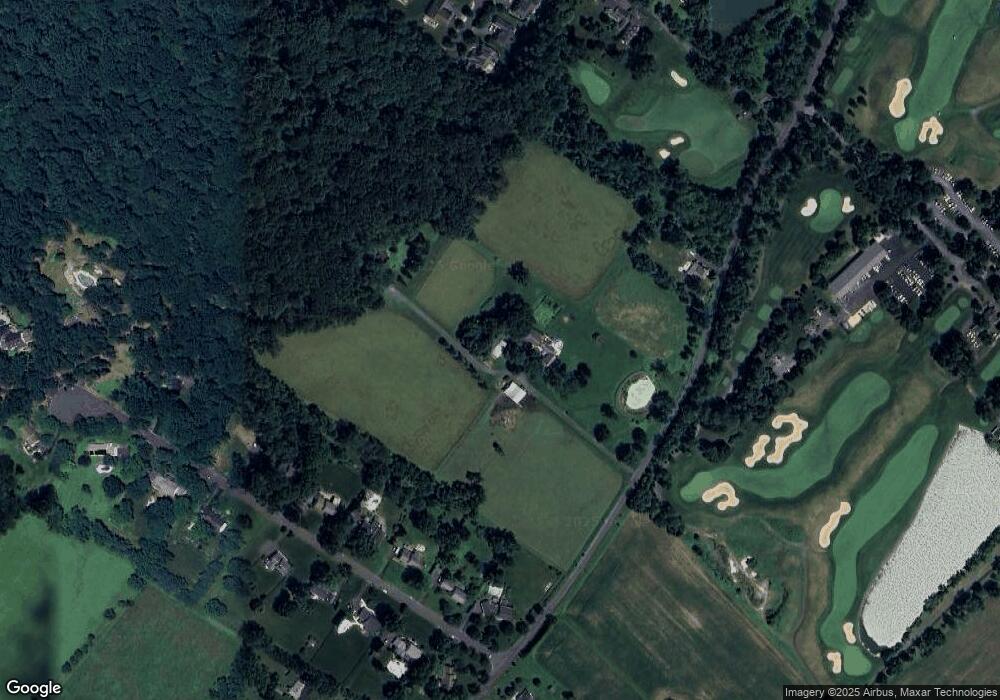
Map
Nearby Homes
- 4549 Lower Mountain Rd
- 1948 Forest Grove Rd
- 4448 Lower Mountain Rd
- 3657 Powder Horn Dr
- 1908 Durham Rd
- 4482 Lower Mountain Rd
- 3772 Powder Horn Dr
- 371 Countryside Cir
- 377 Spring Meadow Cir
- 0 Old York Rd Unit PABU2103356
- 2209 Swamp Rd
- 209 Dove Ct
- 538 Haventree Ct
- 529 Honeysuckle Ct
- lot #3 next to 3739 York Rd
- 191 Cardinal Ct S
- 495 Goldenrod Crossing W
- 2059 Buckinghamshire Rd
- 490 Goldenrod Crossing W
- 2294 Staffordshire Rd
- 2013 Edgehill Dr
- 2027 Edgehill Dr
- 4162 Upper Mountain Rd
- 2039 Edgehill Dr
- 2053 Edgehill Dr
- 2014 Edgehill Dr
- 2028 Edgehill Dr
- 4013 Upper Mountain Rd
- 2065 Edgehill Dr
- 2040 Edgehill Dr
- 4050 Lower Mountain Rd
- 2077 Edgehill Dr
- 2054 Edgehill Dr
- 2066 Edgehill Dr
- 2089 Edgehill Dr
- 3974 Upper Mountain Rd
- 2086 Edgehill Dr
- 4153 Cottonwood Way
- 2113 Edgehill Dr
- 2100 Edgehill Dr