40W704 Powers Rd Huntley, IL 60142
Estimated Value: $1,162,000 - $1,181,255
--
Bed
2
Baths
7,232
Sq Ft
$162/Sq Ft
Est. Value
About This Home
This home is located at 40W704 Powers Rd, Huntley, IL 60142 and is currently estimated at $1,168,752, approximately $161 per square foot. 40W704 Powers Rd is a home with nearby schools including Gilberts Elementary School, Dundee Middle School, and Hampshire High School.
Ownership History
Date
Name
Owned For
Owner Type
Purchase Details
Closed on
Feb 13, 2020
Sold by
Davis Daniel A and Davis Jennifer L
Bought by
Davis Jennifer L and Jennifer L Davis Trust
Current Estimated Value
Home Financials for this Owner
Home Financials are based on the most recent Mortgage that was taken out on this home.
Original Mortgage
$1,389,000
Interest Rate
2.99%
Mortgage Type
New Conventional
Purchase Details
Closed on
Aug 5, 2013
Sold by
Davis Jennifer L and Jennifer L Davis Trust
Bought by
Davis Daniel A and Davis Jennifer L
Create a Home Valuation Report for This Property
The Home Valuation Report is an in-depth analysis detailing your home's value as well as a comparison with similar homes in the area
Home Values in the Area
Average Home Value in this Area
Purchase History
| Date | Buyer | Sale Price | Title Company |
|---|---|---|---|
| Davis Jennifer L | -- | Greater Illinois Title Co | |
| Davis Daniel A | -- | Chicago Title Insurance Comp |
Source: Public Records
Mortgage History
| Date | Status | Borrower | Loan Amount |
|---|---|---|---|
| Closed | Davis Jennifer L | $1,389,000 |
Source: Public Records
Tax History Compared to Growth
Tax History
| Year | Tax Paid | Tax Assessment Tax Assessment Total Assessment is a certain percentage of the fair market value that is determined by local assessors to be the total taxable value of land and additions on the property. | Land | Improvement |
|---|---|---|---|---|
| 2024 | $21,996 | $327,975 | $42,316 | $285,659 |
| 2023 | $20,609 | $296,595 | $38,267 | $258,328 |
| 2022 | $19,664 | $273,460 | $35,282 | $238,178 |
| 2021 | $19,186 | $257,205 | $33,185 | $224,020 |
| 2020 | $18,893 | $250,639 | $32,338 | $218,301 |
| 2019 | $18,400 | $240,560 | $31,038 | $209,522 |
| 2018 | $17,814 | $225,772 | $29,130 | $196,642 |
| 2017 | $21,917 | $271,265 | $36,209 | $235,056 |
| 2016 | $21,868 | $258,250 | $34,472 | $223,778 |
| 2015 | -- | $243,909 | $32,558 | $211,351 |
| 2014 | -- | $264,380 | $24,942 | $239,438 |
| 2013 | -- | $269,226 | $25,399 | $243,827 |
Source: Public Records
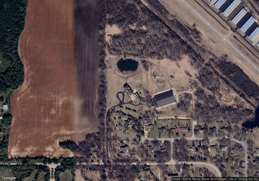
Map
Nearby Homes
- 18N647 Ridgefield Blvd
- 11061 Bayou Ct
- 10613 Rushmore Ln
- 11805 Blue Bayou Dr
- 11680 Cape Cod Ln
- 10174 Hopkins St
- 10569 Lancaster St
- 12965 Oak Grove Dr
- 11581 Beacon Ave
- 11536 Bethel Ave
- 12298 Winding Creek Loop
- 10539 Lansdale St
- 0 Princeton Dr
- 11708 Pine Way Unit A
- 12250 Songbird Ln
- 946 Glacial Falls Dr
- 11320 Saxony St
- 11310 Saxony St
- 11300 Saxony St
- 11297 Kinney Way
- 40W660 Barko Pkwy
- 40W650 Barko Pkwy
- 40W626 Barko Pkwy
- 40W602 Barko Pkwy
- 40W670 Powers Rd
- 40W645 Barko Pkwy
- 19N074 Barko Pkwy
- 40W623 Barko Pkwy Unit 1
- 40W768 Powers Rd
- 40W655 Barko Pkwy
- 40W538 Barko Pkwy Unit 1
- 40W565 Barko Pkwy
- 40W512 Barko Pkwy
- 40W537 Barko Pkwy
- 40W735 Powers Rd
- 40W579 Powers Rd
- 18N957 Ridgefield (Lot 31) Blvd
- 18N957 Ridgefield Blvd
- 40W494 Barko Pkwy Unit 1
- 40W509 Barko Pkwy