41 Adams Rd Plymouth, NH 03264
Estimated Value: $353,000 - $462,355
5
Beds
3
Baths
2,288
Sq Ft
$174/Sq Ft
Est. Value
About This Home
This home is located at 41 Adams Rd, Plymouth, NH 03264 and is currently estimated at $397,339, approximately $173 per square foot. 41 Adams Rd is a home located in Grafton County with nearby schools including Plymouth Elementary School, Plymouth Regional High School, and Mountain Village Charter School.
Ownership History
Date
Name
Owned For
Owner Type
Purchase Details
Closed on
Aug 19, 2024
Sold by
Kennedy Krystal P
Bought by
Krystal P Kennedy Ret and Kennedy
Current Estimated Value
Purchase Details
Closed on
Aug 18, 2004
Sold by
Lengel Susan M
Bought by
Kennedy Krystal
Home Financials for this Owner
Home Financials are based on the most recent Mortgage that was taken out on this home.
Original Mortgage
$168,000
Interest Rate
6.03%
Mortgage Type
Purchase Money Mortgage
Create a Home Valuation Report for This Property
The Home Valuation Report is an in-depth analysis detailing your home's value as well as a comparison with similar homes in the area
Home Values in the Area
Average Home Value in this Area
Purchase History
| Date | Buyer | Sale Price | Title Company |
|---|---|---|---|
| Krystal P Kennedy Ret | -- | None Available | |
| Krystal P Kennedy Ret | -- | None Available | |
| Kennedy Krystal | $168,000 | -- | |
| Kennedy Krystal | $168,000 | -- |
Source: Public Records
Mortgage History
| Date | Status | Borrower | Loan Amount |
|---|---|---|---|
| Previous Owner | Kennedy Krystal | $168,000 | |
| Previous Owner | Kennedy Krystal | $168,000 |
Source: Public Records
Tax History Compared to Growth
Tax History
| Year | Tax Paid | Tax Assessment Tax Assessment Total Assessment is a certain percentage of the fair market value that is determined by local assessors to be the total taxable value of land and additions on the property. | Land | Improvement |
|---|---|---|---|---|
| 2024 | $8,136 | $323,900 | $99,700 | $224,200 |
| 2023 | $7,897 | $323,900 | $99,700 | $224,200 |
| 2022 | $6,521 | $207,400 | $45,700 | $161,700 |
| 2021 | $6,324 | $207,400 | $45,700 | $161,700 |
| 2020 | $5,909 | $207,400 | $45,700 | $161,700 |
| 2019 | $5,847 | $207,400 | $45,700 | $161,700 |
| 2018 | $5,278 | $208,600 | $45,700 | $162,900 |
| 2017 | $5,723 | $193,600 | $35,400 | $158,200 |
| 2016 | $4,873 | $193,600 | $35,400 | $158,200 |
| 2015 | $4,732 | $193,600 | $35,400 | $158,200 |
| 2014 | $4,633 | $193,600 | $35,400 | $158,200 |
| 2013 | $4,652 | $193,600 | $35,400 | $158,200 |
Source: Public Records
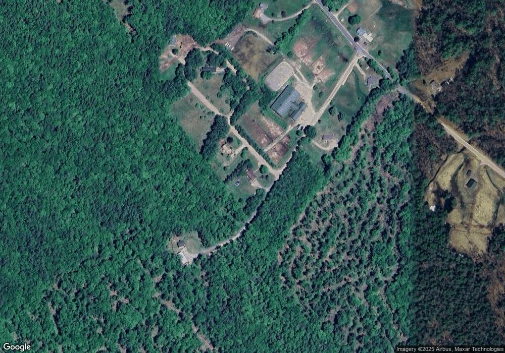
Map
Nearby Homes
- 208 New Hebron Rd
- 29 Reservoir Heights Rd
- 11 Clay Brook Dr
- 154 Bell Rd
- 171 Bell Rd
- 75 Pleasant St
- 33 Plaza Village Rd Unit D
- 143 Highland St
- 2 Smith St
- 21 Plaza Village Rd Unit B
- 0 Wooley Pasture Rd Unit 36
- 40 Davis Rd Unit 6
- 263 Highland St
- 613 Mayhew Turnpike Unit 227-024 & 227-023
- 10 Hawthorne St
- M 230 L 21&22 Thurlow St
- 30 Pleasant St
- 25 Wentworth St
- 28 Langdon St
- 10 Mountain View Terrace
- 47 Adams Rd
- 0 Adams Rd
- 00 Adams Rd
- 29 Adams Rd
- 66 Adams Rd
- 71 Adams Rd
- 7 Adams Rd
- 113 New Hebron Rd
- 96 New Hebron Rd
- 129 New Hebron Rd
- 4 New Hebron Rd
- 74 New Hebron Rd
- 41 New Hebron Rd
- 110 New Hebron Rd
- 167 New Hebron Rd
- 135 New Hebron Rd
- 256 Old Hebron Rd
- 189 New Hebron Rd
- 147 New Hebron Rd
- 199 New Hebron Rd