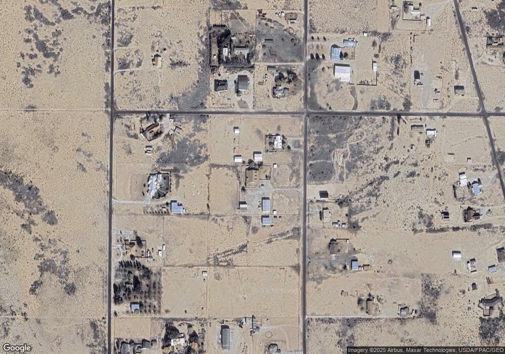
41 Apache Dr Carlsbad, NM 88220
Estimated Value: $1,014,293
4
Beds
3
Baths
5,266
Sq Ft
$193/Sq Ft
Est. Value
About This Home
This home is located at 41 Apache Dr, Carlsbad, NM 88220 and is currently estimated at $1,014,293, approximately $192 per square foot. 41 Apache Dr is a home located in Eddy County with nearby schools including Monterrey Elementary School, Carlsbad Sixth Grade Academy, and Carlsbad High School.
Ownership History
Date
Name
Owned For
Owner Type
Purchase Details
Closed on
Aug 24, 2021
Sold by
Chapman Martha
Bought by
Prentiss John and Prentiss Vickie
Current Estimated Value
Purchase Details
Closed on
Sep 3, 2020
Sold by
Medrano Ramon R and Medrano Summer R
Bought by
Prentiss Johnny R and Prentiss Vickie
Home Financials for this Owner
Home Financials are based on the most recent Mortgage that was taken out on this home.
Original Mortgage
$600,000
Interest Rate
3%
Mortgage Type
New Conventional
Purchase Details
Closed on
Mar 23, 2017
Sold by
Chapman Martha
Bought by
Medrano Ramon R and Medrano Summer R
Home Financials for this Owner
Home Financials are based on the most recent Mortgage that was taken out on this home.
Original Mortgage
$160,000
Interest Rate
4.17%
Mortgage Type
New Conventional
Purchase Details
Closed on
Mar 23, 2016
Sold by
Charpman Robin
Bought by
Chapman Martha
Create a Home Valuation Report for This Property
The Home Valuation Report is an in-depth analysis detailing your home's value as well as a comparison with similar homes in the area
Home Values in the Area
Average Home Value in this Area
Purchase History
| Date | Buyer | Sale Price | Title Company |
|---|---|---|---|
| Prentiss John | -- | None Available | |
| Prentiss Johnny R | -- | Pioneer Title & Escrow | |
| Medrano Ramon R | -- | Guaranty Title Company | |
| Chapman Martha | -- | None Available |
Source: Public Records
Mortgage History
| Date | Status | Borrower | Loan Amount |
|---|---|---|---|
| Previous Owner | Prentiss Johnny R | $600,000 | |
| Previous Owner | Medrano Ramon R | $160,000 |
Source: Public Records
Tax History Compared to Growth
Tax History
| Year | Tax Paid | Tax Assessment Tax Assessment Total Assessment is a certain percentage of the fair market value that is determined by local assessors to be the total taxable value of land and additions on the property. | Land | Improvement |
|---|---|---|---|---|
| 2024 | $4,780 | $234,409 | $8,600 | $225,809 |
| 2023 | $4,780 | $229,062 | $8,600 | $220,462 |
| 2022 | $4,582 | $227,131 | $8,600 | $218,531 |
| 2021 | $4,424 | $220,323 | $8,600 | $211,723 |
| 2020 | $4,364 | $213,085 | $5,027 | $208,058 |
| 2019 | $4,304 | $206,892 | $5,027 | $201,865 |
| 2018 | $4,313 | $208,726 | $5,027 | $203,699 |
| 2017 | $4,453 | $247,739 | $5,027 | $242,712 |
| 2015 | $4,494 | $0 | $0 | $0 |
| 2014 | $3,832 | $0 | $0 | $0 |
Source: Public Records
Map
Nearby Homes
- 95 Comanche Dr
- W of 102 Comanche Dr
- 32 Calabaza Draw Ln
- 8 Calabaza Draw Ln
- 396 Happy Valley North Rural Rd
- 2802 W Pierce St
- 1601 Skyline
- 1642 Skyline
- 1632 Skyline
- 1841 Troy Dr
- 1906 Emerald Ct
- 1835 Lanette Dr
- 1808 Lanette Dr
- 1837 Hays Dr
- 1003 Miehls Rd
- 801 Miehls Dr
- 1809 Mountain Shadow Dr
- 808 Dennis Way
- 2116 Westridge Rd
- 2112 Westridge Rd
