41 Barney Dr Millerton, NY 12546
North East NeighborhoodEstimated Value: $422,000 - $779,937
3
Beds
1
Bath
1,600
Sq Ft
$367/Sq Ft
Est. Value
About This Home
This home is located at 41 Barney Dr, Millerton, NY 12546 and is currently estimated at $586,979, approximately $366 per square foot. 41 Barney Dr is a home located in Dutchess County with nearby schools including Webutuck Elementary School, Eugene Brooks Intermediate School, and Webutuck High School.
Ownership History
Date
Name
Owned For
Owner Type
Purchase Details
Closed on
Feb 11, 2005
Sold by
Barney Margaret
Bought by
Beeman Margaret
Current Estimated Value
Home Financials for this Owner
Home Financials are based on the most recent Mortgage that was taken out on this home.
Original Mortgage
$29,729
Outstanding Balance
$5,027
Interest Rate
6%
Mortgage Type
Purchase Money Mortgage
Estimated Equity
$581,952
Purchase Details
Closed on
Jan 15, 2002
Create a Home Valuation Report for This Property
The Home Valuation Report is an in-depth analysis detailing your home's value as well as a comparison with similar homes in the area
Home Values in the Area
Average Home Value in this Area
Purchase History
| Date | Buyer | Sale Price | Title Company |
|---|---|---|---|
| Beeman Margaret | -- | Bethany A Ralph | |
| -- | $60,000 | -- |
Source: Public Records
Mortgage History
| Date | Status | Borrower | Loan Amount |
|---|---|---|---|
| Open | Beeman Margaret | $29,729 |
Source: Public Records
Tax History
| Year | Tax Paid | Tax Assessment Tax Assessment Total Assessment is a certain percentage of the fair market value that is determined by local assessors to be the total taxable value of land and additions on the property. | Land | Improvement |
|---|---|---|---|---|
| 2024 | $7,833 | $611,700 | $93,600 | $518,100 |
| 2023 | $9,099 | $593,900 | $93,600 | $500,300 |
| 2019 | $10,739 | $586,500 | $100,000 | $486,500 |
Source: Public Records
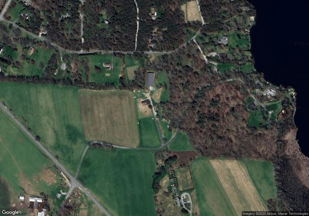
Map
Nearby Homes
- 151 Lake Ln
- 0 Mill Rd Unit KEY932153
- 202 Sharon Valley Rd
- 8 Mudgetown Rd
- 6 Juniper Ledge Ln
- 5627 Route 22
- 5 Valley Rd
- 40 Valley Rd
- 490 Mill St
- 138 Amenia Rd
- 5846 S Elm Ave
- 79 Hilltop Rd
- 16 Upper Main St
- 48 Long Pond Rd
- 0 Cornwall Bridge Rd Unit 170559925
- 400 Gay St
- 2 Great Elm Rd
- 59 Cornwall Bridge Rd
- 710 Smithfield Rd
- 1 Great Elm Dr
- 42 Red Cedar Ln
- 0 Red Cedar Ln Unit 98820
- 0 Red Cedar Ln Unit 67269
- 0 Red Cedar Ln Unit 117196
- 0 Red Cedar Ln Unit ONEHM365034
- 0 Red Cedar Ln Unit ONEHM355255
- 0 Red Cedar Ln Unit ONEHM353649
- 0 Red Cedar Ln Unit 103681
- 0 Red Cedar Ln Unit 108021
- 0 Red Cedar Ln Unit 110758
- 0 Red Cedar Ln Unit 111701
- 0 Red Cedar Ln Unit 80763
- 0 Red Cedar Ln Unit 81022
- 0 Red Cedar Ln Unit 81020
- 0 Red Cedar Ln Unit 81075
- 0 Red Cedar Ln Unit 82748
- 0 Red Cedar Ln Unit 82746
- 0 Red Cedar Ln Unit 86169
- 0 Red Cedar Ln Unit 97536
- 0 Red Cedar Ln Unit 19 98820
Your Personal Tour Guide
Ask me questions while you tour the home.