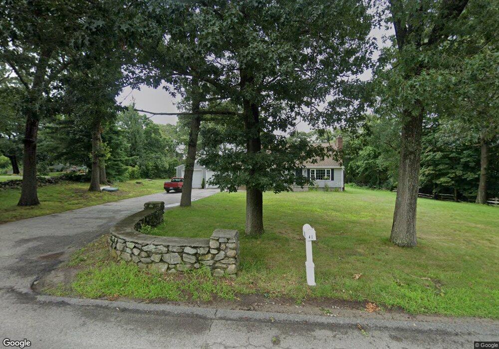
41 Bound Rd Woonsocket, RI 02895
North Cumberland NeighborhoodEstimated Value: $403,000 - $531,000
3
Beds
2
Baths
1,788
Sq Ft
$272/Sq Ft
Est. Value
About This Home
This home is located at 41 Bound Rd, Woonsocket, RI 02895 and is currently estimated at $486,049, approximately $271 per square foot. 41 Bound Rd is a home located in Providence County with nearby schools including Community School, North Cumberland Middle School, and Cumberland High School.
Ownership History
Date
Name
Owned For
Owner Type
Purchase Details
Closed on
May 1, 2019
Sold by
Irza Stanley
Bought by
Tourkantonis Mary A
Current Estimated Value
Home Financials for this Owner
Home Financials are based on the most recent Mortgage that was taken out on this home.
Original Mortgage
$317,460
Outstanding Balance
$279,112
Interest Rate
4.2%
Mortgage Type
FHA
Estimated Equity
$206,937
Purchase Details
Closed on
Oct 31, 2018
Sold by
Dorsey-Receiver John A
Bought by
Irza Stanley
Purchase Details
Closed on
Apr 2, 2015
Sold by
Larson Michael
Bought by
Larson Margaret E and Larson Michael
Create a Home Valuation Report for This Property
The Home Valuation Report is an in-depth analysis detailing your home's value as well as a comparison with similar homes in the area
Home Values in the Area
Average Home Value in this Area
Purchase History
| Date | Buyer | Sale Price | Title Company |
|---|---|---|---|
| Tourkantonis Mary A | $390,000 | -- | |
| Irza Stanley | $7,500 | -- | |
| Larson Margaret E | $403,771 | -- | |
| Fnma | $403,771 | -- |
Source: Public Records
Mortgage History
| Date | Status | Borrower | Loan Amount |
|---|---|---|---|
| Open | Tourkantonis Mary A | $317,460 | |
| Previous Owner | Irza Stanley | $260,000 | |
| Previous Owner | Irza Stanley | $260,000 |
Source: Public Records
Tax History
| Year | Tax Paid | Tax Assessment Tax Assessment Total Assessment is a certain percentage of the fair market value that is determined by local assessors to be the total taxable value of land and additions on the property. | Land | Improvement |
|---|---|---|---|---|
| 2025 | $5,804 | $473,000 | $174,700 | $298,300 |
| 2024 | $5,652 | $473,000 | $174,700 | $298,300 |
| 2023 | $5,496 | $473,000 | $174,700 | $298,300 |
| 2022 | $5,306 | $354,000 | $135,900 | $218,100 |
| 2021 | $5,218 | $354,000 | $135,900 | $218,100 |
| 2020 | $5,069 | $354,000 | $135,900 | $218,100 |
| 2019 | $4,569 | $287,700 | $123,500 | $164,200 |
| 2018 | $571 | $287,700 | $123,500 | $164,200 |
| 2017 | $4,376 | $287,700 | $123,500 | $164,200 |
| 2016 | $4,536 | $265,600 | $125,500 | $140,100 |
| 2015 | $4,536 | $265,600 | $125,500 | $140,100 |
| 2014 | $4,536 | $265,600 | $125,500 | $140,100 |
| 2013 | $4,603 | $291,700 | $128,100 | $163,600 |
Source: Public Records
Map
Nearby Homes
- 4 Carnation St
- 20 Nature View Dr
- 365 W Wrentham Rd
- 25 Nature View Dr
- 727 Mendon Rd
- 180 Pine Swamp Rd
- 56 Pine Swamp Rd
- 172 Pine Swamp Rd
- 9 Pebble Cir Unit 9
- 24 Palmetto Dr Unit 24
- 21 Palmetto Dr Unit 21
- 95 Mitris Blvd
- 65 Palmetto Dr Unit 65
- 68 Kenwood St
- 202 Paine St
- 194 Paine St
- 9 Brookfield Ln
- 82 Paine St
- 375 Congress St
- 212 Saint Louis Ave
Your Personal Tour Guide
Ask me questions while you tour the home.