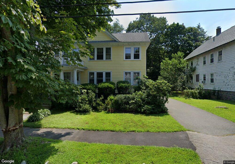
41 Brandon Rd Unit 43 Milton, MA 02186
Columbine Cliffs NeighborhoodEstimated Value: $1,090,000 - $1,295,000
4
Beds
2
Baths
2,522
Sq Ft
$473/Sq Ft
Est. Value
About This Home
This home is located at 41 Brandon Rd Unit 43, Milton, MA 02186 and is currently estimated at $1,192,796, approximately $472 per square foot. 41 Brandon Rd Unit 43 is a home located in Norfolk County with nearby schools including Milton High School, KIPP Academy Boston Charter School, and St. Mary of the Hills School.
Ownership History
Date
Name
Owned For
Owner Type
Purchase Details
Closed on
Dec 7, 2015
Sold by
Dymek Irene and Dymek Sigmund
Bought by
Finnerty Thomas E and Finnerty Joanne R
Current Estimated Value
Home Financials for this Owner
Home Financials are based on the most recent Mortgage that was taken out on this home.
Original Mortgage
$255,000
Outstanding Balance
$204,055
Interest Rate
3.83%
Mortgage Type
New Conventional
Estimated Equity
$988,741
Purchase Details
Closed on
Oct 7, 2013
Sold by
Saraczynski Anna E
Bought by
Saraczynski Ft and Finnerty Joanne R
Create a Home Valuation Report for This Property
The Home Valuation Report is an in-depth analysis detailing your home's value as well as a comparison with similar homes in the area
Home Values in the Area
Average Home Value in this Area
Purchase History
| Date | Buyer | Sale Price | Title Company |
|---|---|---|---|
| Finnerty Thomas E | $250,000 | -- | |
| Finnerty Joanne R | -- | -- | |
| Saraczynski Ft | -- | -- |
Source: Public Records
Mortgage History
| Date | Status | Borrower | Loan Amount |
|---|---|---|---|
| Open | Finnerty Thomas E | $255,000 |
Source: Public Records
Tax History Compared to Growth
Tax History
| Year | Tax Paid | Tax Assessment Tax Assessment Total Assessment is a certain percentage of the fair market value that is determined by local assessors to be the total taxable value of land and additions on the property. | Land | Improvement |
|---|---|---|---|---|
| 2025 | $11,393 | $1,027,300 | $563,400 | $463,900 |
| 2024 | $11,027 | $1,009,800 | $536,700 | $473,100 |
| 2023 | $10,844 | $951,200 | $511,100 | $440,100 |
| 2022 | $11,091 | $889,400 | $511,100 | $378,300 |
| 2021 | $10,635 | $810,000 | $449,600 | $360,400 |
| 2020 | $10,055 | $766,400 | $445,200 | $321,200 |
| 2019 | $9,407 | $713,700 | $432,300 | $281,400 |
| 2018 | $8,873 | $642,500 | $374,000 | $268,500 |
| 2017 | $8,140 | $600,300 | $356,200 | $244,100 |
| 2016 | $7,842 | $580,900 | $356,200 | $224,700 |
| 2015 | $6,985 | $501,100 | $287,700 | $213,400 |
Source: Public Records
Map
Nearby Homes
- 15 Fairfax Rd
- 36 Hawthorn Rd
- 52 Hawthorn Rd
- 27 Hawthorn Rd
- 87 Thacher St
- 128 Blue Hills Pkwy
- 137 Thacher St Unit 137
- 84 Blue Hills Pkwy
- 16 Blue Hill Ave
- 96 Brook Rd
- 6 Audubon Rd
- 15 Belvoir Rd
- 70 Warren Ave
- 1 Chilton Park
- 290 Central Ave
- 9 Marcy Rd
- 25 Malta St
- 112 Brush Hill Rd
- 390 Central Ave
- 88 Decker St
- 35 Brandon Rd Unit 37
- 47 Brandon Rd
- 38 Ridge Rd
- 36 Ridge Rd
- 31 Brandon Rd
- 31 Brandon Rd Unit 2
- 31 Brandon Rd Unit 1
- 53 Brandon Rd
- 46 Ridge Rd
- 40 Brandon Rd Unit 42
- 40 Brandon Rd Unit 2
- 42 Brandon Rd
- 42 Brandon Rd Unit 2
- 40-42 Brandon Rd
- 46 Brandon Rd
- 30 Ridge Rd
- 36 Brandon Rd
- 52 Ridge Rd
- 32 Brandon Rd
- 32 Brandon Rd Unit 1