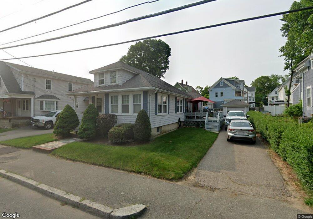
41 Brookside Ave Brockton, MA 02301
Campello NeighborhoodEstimated Value: $417,611 - $485,000
2
Beds
1
Bath
1,190
Sq Ft
$382/Sq Ft
Est. Value
About This Home
This home is located at 41 Brookside Ave, Brockton, MA 02301 and is currently estimated at $455,153, approximately $382 per square foot. 41 Brookside Ave is a home located in Plymouth County with nearby schools including Gilmore Elementary School, Davis K-8 School, and John F. Kennedy Elementary School.
Ownership History
Date
Name
Owned For
Owner Type
Purchase Details
Closed on
Aug 7, 2024
Sold by
Oreilly Madeline E
Bought by
Oreilly Kirk J
Current Estimated Value
Create a Home Valuation Report for This Property
The Home Valuation Report is an in-depth analysis detailing your home's value as well as a comparison with similar homes in the area
Home Values in the Area
Average Home Value in this Area
Purchase History
| Date | Buyer | Sale Price | Title Company |
|---|---|---|---|
| Oreilly Kirk J | -- | None Available | |
| Oreilly Kirk J | -- | None Available |
Source: Public Records
Tax History
| Year | Tax Paid | Tax Assessment Tax Assessment Total Assessment is a certain percentage of the fair market value that is determined by local assessors to be the total taxable value of land and additions on the property. | Land | Improvement |
|---|---|---|---|---|
| 2025 | $4,136 | $341,500 | $134,700 | $206,800 |
| 2024 | $4,077 | $339,200 | $134,700 | $204,500 |
| 2023 | $3,921 | $302,100 | $101,100 | $201,000 |
| 2022 | $3,969 | $284,100 | $91,700 | $192,400 |
| 2021 | $3,602 | $248,400 | $75,700 | $172,700 |
| 2020 | $3,386 | $223,500 | $71,500 | $152,000 |
| 2019 | $3,260 | $209,800 | $68,800 | $141,000 |
| 2018 | $2,825 | $175,900 | $68,800 | $107,100 |
| 2017 | $2,729 | $169,500 | $68,800 | $100,700 |
| 2016 | $2,693 | $155,100 | $66,700 | $88,400 |
| 2015 | $2,374 | $130,800 | $66,700 | $64,100 |
| 2014 | $2,279 | $125,700 | $66,700 | $59,000 |
Source: Public Records
Map
Nearby Homes
- 35 Longworth Ave Unit 25
- 25 Longworth Ave Unit 4
- 15 Longworth Ave Unit 226
- 9 Longworth Ave Unit 135
- 34 South St
- 115 Market St
- 47 Southworth St
- 326 Copeland St
- 223 Clinton St Unit 16
- 23 E Chestnut St
- 60 Tremont St
- 25 Tremont St
- 65 Tremont St
- 41 Riverview St
- 12 Finny's Way
- 936 Warren Ave
- 103 Clinton St
- 111 Riverview St
- 82 Carroll Ave
- 100 Concord St
- 45 Brookside Ave
- 35 Brookside Ave
- 16 Kenwood St
- 16 Kenwood St Unit 2
- 47 Brookside Ave
- 22 Kenwood St
- 29 Brookside Ave
- 38 Brookside Ave
- 44 Brookside Ave
- 28 Kenwood St
- 12 Kenwood St
- 25 Brookside Ave
- 25 Brookside Ave Unit 1st
- 32 Brookside Ave
- 32 Brookside Ave Unit B
- 27 Brookside Ave Unit 271
- 8 Kenwood St
- 28 Brookside Ave
- 57 Brookside Ave
- 4 Kenwood St
Your Personal Tour Guide
Ask me questions while you tour the home.