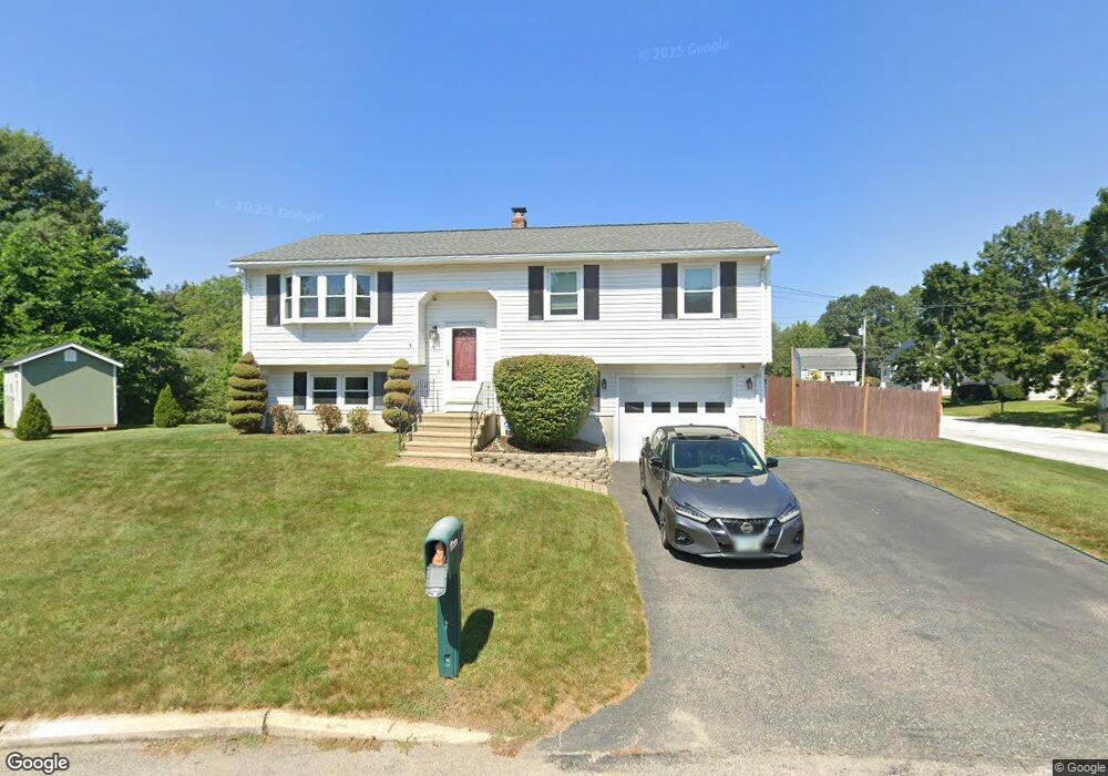
41 Calvert Cir Manchester, NH 03103
Goffes Falls NeighborhoodEstimated Value: $442,000 - $476,000
3
Beds
1
Bath
1,080
Sq Ft
$430/Sq Ft
Est. Value
About This Home
This home is located at 41 Calvert Cir, Manchester, NH 03103 and is currently estimated at $464,132, approximately $429 per square foot. 41 Calvert Cir is a home located in Hillsborough County with nearby schools including Highland-Goffes Falls School, Southside Middle School, and Manchester Memorial High School.
Ownership History
Date
Name
Owned For
Owner Type
Purchase Details
Closed on
Oct 31, 2003
Sold by
Rodriguez Frank A and Rodriguez Patricia A
Bought by
Lavallee Jason M
Current Estimated Value
Home Financials for this Owner
Home Financials are based on the most recent Mortgage that was taken out on this home.
Original Mortgage
$189,000
Outstanding Balance
$87,925
Interest Rate
6.05%
Estimated Equity
$376,207
Create a Home Valuation Report for This Property
The Home Valuation Report is an in-depth analysis detailing your home's value as well as a comparison with similar homes in the area
Home Values in the Area
Average Home Value in this Area
Purchase History
| Date | Buyer | Sale Price | Title Company |
|---|---|---|---|
| Lavallee Jason M | $199,000 | -- |
Source: Public Records
Mortgage History
| Date | Status | Borrower | Loan Amount |
|---|---|---|---|
| Open | Lavallee Jason M | $72,900 | |
| Closed | Lavallee Jason M | $42,000 | |
| Open | Lavallee Jason M | $189,000 |
Source: Public Records
Tax History Compared to Growth
Tax History
| Year | Tax Paid | Tax Assessment Tax Assessment Total Assessment is a certain percentage of the fair market value that is determined by local assessors to be the total taxable value of land and additions on the property. | Land | Improvement |
|---|---|---|---|---|
| 2024 | $5,856 | $299,100 | $93,900 | $205,200 |
| 2023 | $5,641 | $299,100 | $93,900 | $205,200 |
| 2022 | $5,456 | $299,100 | $93,900 | $205,200 |
| 2021 | $5,288 | $299,100 | $93,900 | $205,200 |
| 2020 | $4,947 | $200,600 | $64,700 | $135,900 |
| 2019 | $4,879 | $200,600 | $64,700 | $135,900 |
| 2018 | $4,750 | $200,600 | $64,700 | $135,900 |
| 2017 | $4,678 | $200,600 | $64,700 | $135,900 |
| 2016 | $4,642 | $200,600 | $64,700 | $135,900 |
| 2015 | $4,665 | $199,000 | $61,500 | $137,500 |
| 2014 | $4,677 | $199,000 | $61,500 | $137,500 |
| 2013 | $4,511 | $199,000 | $61,500 | $137,500 |
Source: Public Records
Map
Nearby Homes
- 4243 Brown Ave
- 395 Brent St
- 67 Pullman St
- 305 Trolley St
- 3670 Old Brown Ave
- 707 Brent St
- 14 Bernards Rd
- 190 Litchfield Rd
- 8 Iroquois Cir
- 3-C Mustang Dr Unit MODEL
- 9 Mustang Dr Unit B
- 7 Mustang Dr Unit B
- 17 Winter Cir
- 5 Webster Rd
- 15 Harvey Rd
- 107 Litchfield Rd
- 57 Dixwell St
- 51 Back River Rd
- 490 Charles Bancroft Hwy
- 6 Boulder Way
- 29 Calvert Cir
- 53 Calvert Cir
- 42 Calvert Cir
- 17 Calvert Cir
- 54 Calvert Cir
- 30 Calvert Cir
- 66 Calvert Cir
- 59 Ellingwood St
- 71 Ellingwood St
- 18 Calvert Cir
- 71 Calvert Cir
- 5 Calvert Cir
- 47 Ellingwood St
- 25 Lansdowne St
- 83 Ellingwood St
- 25 Lansdown St
- 78 Calvert Cir
- 35 Ellingwood St
- 85 Calvert Cir
- 412 Charlotte St