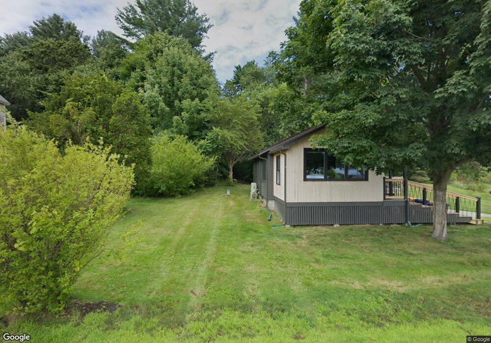
41 Cedar Point Rd Durham, NH 03824
Estimated Value: $590,167 - $662,000
3
Beds
3
Baths
1,452
Sq Ft
$433/Sq Ft
Est. Value
About This Home
This home is located at 41 Cedar Point Rd, Durham, NH 03824 and is currently estimated at $628,792, approximately $433 per square foot. 41 Cedar Point Rd is a home located in Strafford County with nearby schools including Mast Way School, Oyster River Middle School, and Oyster River High School.
Ownership History
Date
Name
Owned For
Owner Type
Purchase Details
Closed on
Jun 11, 2003
Sold by
Chapman David R and Chapman Elaine M
Bought by
Barber Eleanor J
Current Estimated Value
Home Financials for this Owner
Home Financials are based on the most recent Mortgage that was taken out on this home.
Original Mortgage
$197,500
Outstanding Balance
$86,452
Interest Rate
5.77%
Mortgage Type
Purchase Money Mortgage
Estimated Equity
$542,340
Purchase Details
Closed on
Oct 18, 2001
Sold by
Amarosa Robert P and Amarosa Marcelle R
Bought by
Chapman David R and Chapman Elaine M
Home Financials for this Owner
Home Financials are based on the most recent Mortgage that was taken out on this home.
Original Mortgage
$150,000
Interest Rate
6.92%
Mortgage Type
Purchase Money Mortgage
Create a Home Valuation Report for This Property
The Home Valuation Report is an in-depth analysis detailing your home's value as well as a comparison with similar homes in the area
Home Values in the Area
Average Home Value in this Area
Purchase History
| Date | Buyer | Sale Price | Title Company |
|---|---|---|---|
| Barber Eleanor J | $225,000 | -- | |
| Chapman David R | $231,000 | -- |
Source: Public Records
Mortgage History
| Date | Status | Borrower | Loan Amount |
|---|---|---|---|
| Open | Chapman David R | $197,500 | |
| Previous Owner | Chapman David R | $150,000 |
Source: Public Records
Tax History
| Year | Tax Paid | Tax Assessment Tax Assessment Total Assessment is a certain percentage of the fair market value that is determined by local assessors to be the total taxable value of land and additions on the property. | Land | Improvement |
|---|---|---|---|---|
| 2024 | $9,492 | $466,900 | $162,100 | $304,800 |
| 2023 | $9,538 | $465,700 | $162,100 | $303,600 |
| 2022 | $8,526 | $293,600 | $109,400 | $184,200 |
| 2021 | $8,099 | $290,200 | $106,000 | $184,200 |
| 2020 | $8,047 | $290,200 | $106,000 | $184,200 |
| 2019 | $7,960 | $290,200 | $106,000 | $184,200 |
| 2018 | $7,777 | $290,200 | $106,000 | $184,200 |
| 2017 | $7,620 | $248,700 | $91,300 | $157,400 |
| 2016 | $7,394 | $248,700 | $91,300 | $157,400 |
| 2015 | $7,424 | $248,700 | $91,300 | $157,400 |
| 2014 | $7,590 | $248,700 | $91,300 | $157,400 |
| 2013 | $7,563 | $248,700 | $91,300 | $157,400 |
Source: Public Records
Map
Nearby Homes
- 18 Deborah Ln
- 41 Clearwater Dr
- Slip B18 Little Bay
- 354 Dover Point Rd
- 348 Dover Point Rd
- 0 Cote Dr Unit 55B
- 18 Little Bay Dr
- 11 Willey Creek Rd
- 71 Shipwright Way
- 25 Fosters Dr
- 1 Riverview Ct
- 10 Shipwright Way
- 708 River Rd Unit 2
- 708 River Rd Unit 3
- 3 Greenfield Dr Unit C
- 19 Lenox Dr Unit A
- 1 Greenfield Dr
- 69 Polly Ann Trailer Park
- 13 Spruce Dr
- 16 Polly Ann Park
- 29 Cedar Point Rd
- 27 Cedar Point Rd
- 25 Cedar Point Rd
- 33 Cedar Point Rd
- 228 Piscataqua Rd
- 239 Piscataqua Rd
- 35 Cedar Point Rd
- 23 Cedar Point Rd
- 28 Cedar Point Rd
- 42 Cedar Point Rd
- 26 Cedar Point Rd
- 24 Cedar Point Rd
- 30 Cedar Point Rd
- 243 Piscataqua Rd
- 245 Piscataqua Rd
- 32 Cedar Point Rd
- 22 Cedar Point Rd
- 34 Cedar Point Rd
- 19 Cedar Point Rd
- 36 Cedar Point Rd
Your Personal Tour Guide
Ask me questions while you tour the home.