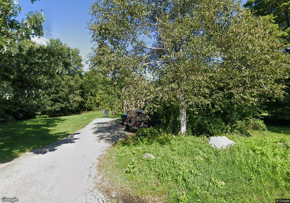
41 Conlin Rd Unit 1 Oxford, MA 01540
Estimated Value: $395,000 - $466,000
2
Beds
1
Bath
1,608
Sq Ft
$260/Sq Ft
Est. Value
About This Home
This home is located at 41 Conlin Rd Unit 1, Oxford, MA 01540 and is currently estimated at $418,598, approximately $260 per square foot. 41 Conlin Rd Unit 1 is a home located in Worcester County with nearby schools including Alfred M Chaffee, Oxford High School, and Clara Barton Elementary School.
Ownership History
Date
Name
Owned For
Owner Type
Purchase Details
Closed on
Apr 18, 2014
Sold by
Oshea James A and Oshea Colleen A
Bought by
Atwood Stephen C and Papke Kristen M
Current Estimated Value
Home Financials for this Owner
Home Financials are based on the most recent Mortgage that was taken out on this home.
Original Mortgage
$128,000
Outstanding Balance
$97,010
Interest Rate
4.26%
Mortgage Type
New Conventional
Estimated Equity
$321,588
Purchase Details
Closed on
Jan 10, 2003
Sold by
Young Louise F
Bought by
Oshea James A
Home Financials for this Owner
Home Financials are based on the most recent Mortgage that was taken out on this home.
Original Mortgage
$152,000
Interest Rate
6.19%
Mortgage Type
Purchase Money Mortgage
Create a Home Valuation Report for This Property
The Home Valuation Report is an in-depth analysis detailing your home's value as well as a comparison with similar homes in the area
Home Values in the Area
Average Home Value in this Area
Purchase History
| Date | Buyer | Sale Price | Title Company |
|---|---|---|---|
| Atwood Stephen C | $160,000 | -- | |
| Oshea James A | $190,000 | -- |
Source: Public Records
Mortgage History
| Date | Status | Borrower | Loan Amount |
|---|---|---|---|
| Open | Atwood Stephen C | $128,000 | |
| Previous Owner | Oshea James A | $152,000 | |
| Previous Owner | Oshea James A | $26,200 |
Source: Public Records
Tax History Compared to Growth
Tax History
| Year | Tax Paid | Tax Assessment Tax Assessment Total Assessment is a certain percentage of the fair market value that is determined by local assessors to be the total taxable value of land and additions on the property. | Land | Improvement |
|---|---|---|---|---|
| 2025 | $41 | $323,100 | $123,900 | $199,200 |
| 2024 | $4,068 | $301,800 | $117,700 | $184,100 |
| 2023 | $3,740 | $274,200 | $112,600 | $161,600 |
| 2022 | $3,314 | $205,100 | $87,600 | $117,500 |
| 2021 | $3,326 | $201,200 | $83,200 | $118,000 |
| 2020 | $3,192 | $191,600 | $83,200 | $108,400 |
| 2019 | $3,445 | $202,300 | $88,300 | $114,000 |
| 2018 | $3,485 | $201,800 | $88,300 | $113,500 |
| 2017 | $3,415 | $202,700 | $84,700 | $118,000 |
| 2016 | $3,432 | $202,700 | $84,700 | $118,000 |
| 2015 | $3,201 | $202,700 | $84,700 | $118,000 |
| 2014 | $3,306 | $220,400 | $96,600 | $123,800 |
Source: Public Records
Map
Nearby Homes
- 44 Buffum Rd
- Lot 4 Coughlin Rd
- Lot 8 Coughlin Rd
- Lot 7 Coughlin Rd
- Lot 6 Coughlin Rd
- 124 Charlton St Unit F
- 4 Toria Heights Rd
- 9 Howarth Rd
- 1 Howarth Rd
- 18 Mckinstry Dr
- L0T 12 History Dr
- 57 Coughlin Rd
- 44 Richardson Corner Rd
- L0T 11 History Dr
- L0T 3 History Dr
- 31 Bay Path Rd
- 71 Bay Path Rd
- 6 Rawson Ave
- 397 Main St
- 9 Wallace Ct
