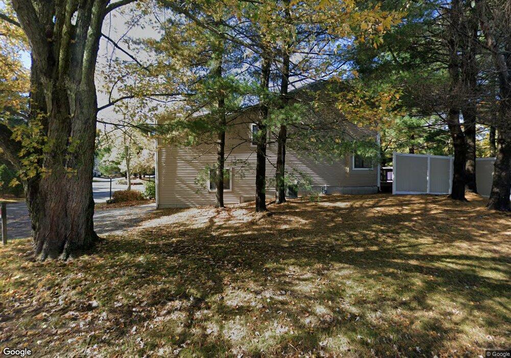
41 Curtis Ave Unit D Marlborough, MA 01752
Estimated Value: $343,000 - $441,084
2
Beds
2
Baths
1,292
Sq Ft
$316/Sq Ft
Est. Value
About This Home
This home is located at 41 Curtis Ave Unit D, Marlborough, MA 01752 and is currently estimated at $407,771, approximately $315 per square foot. 41 Curtis Ave Unit D is a home located in Middlesex County with nearby schools including Marlborough High School, New Covenant Christian School, and Glenhaven Academy - JRI School.
Ownership History
Date
Name
Owned For
Owner Type
Purchase Details
Closed on
Aug 20, 2004
Sold by
Ferguson James E and Endo Jo Ann H
Bought by
Murray Michael T
Current Estimated Value
Home Financials for this Owner
Home Financials are based on the most recent Mortgage that was taken out on this home.
Original Mortgage
$179,900
Interest Rate
6.03%
Mortgage Type
Purchase Money Mortgage
Purchase Details
Closed on
Jul 30, 2001
Sold by
Mercury John E
Bought by
Endo Joann H
Home Financials for this Owner
Home Financials are based on the most recent Mortgage that was taken out on this home.
Original Mortgage
$178,400
Interest Rate
7.18%
Mortgage Type
Purchase Money Mortgage
Purchase Details
Closed on
Sep 18, 1998
Sold by
Moran Patricia A
Bought by
Mercury John E
Create a Home Valuation Report for This Property
The Home Valuation Report is an in-depth analysis detailing your home's value as well as a comparison with similar homes in the area
Home Values in the Area
Average Home Value in this Area
Purchase History
| Date | Buyer | Sale Price | Title Company |
|---|---|---|---|
| Murray Michael T | $259,900 | -- | |
| Endo Joann H | $223,000 | -- | |
| Mercury John E | $136,000 | -- |
Source: Public Records
Mortgage History
| Date | Status | Borrower | Loan Amount |
|---|---|---|---|
| Open | Mercury John E | $160,000 | |
| Closed | Murray Michael T | $179,900 | |
| Previous Owner | Mercury John E | $35,200 | |
| Previous Owner | Mercury John E | $178,400 | |
| Previous Owner | Mercury John E | $25,000 |
Source: Public Records
Tax History Compared to Growth
Tax History
| Year | Tax Paid | Tax Assessment Tax Assessment Total Assessment is a certain percentage of the fair market value that is determined by local assessors to be the total taxable value of land and additions on the property. | Land | Improvement |
|---|---|---|---|---|
| 2025 | $4,244 | $430,400 | $0 | $430,400 |
| 2024 | $4,063 | $396,800 | $0 | $396,800 |
| 2023 | $3,660 | $317,200 | $0 | $317,200 |
| 2022 | $3,405 | $259,500 | $0 | $259,500 |
| 2021 | $3,689 | $267,300 | $0 | $267,300 |
| 2020 | $3,649 | $257,300 | $0 | $257,300 |
| 2019 | $3,014 | $214,200 | $0 | $214,200 |
| 2018 | $3,072 | $210,000 | $0 | $210,000 |
| 2017 | $3,047 | $198,900 | $0 | $198,900 |
| 2016 | $3,131 | $204,100 | $0 | $204,100 |
| 2015 | $2,876 | $182,500 | $0 | $182,500 |
Source: Public Records
Map
Nearby Homes
- 25 Walnut St
- Lot 1 Quinn Rd
- 16 Clinton St
- 24 Clinton St
- 53 Hillcrest Rd
- 38 Sawin St
- 41 Kane Dr
- 97 Cook Ln
- 96 Cook Ln
- 75 Warren Ave
- 57 Marlton Dr
- 37 Hosmer St Unit 10
- 37 Hosmer St Unit 20
- 117 Hosmer St
- 110 Boston Post Rd E Unit 104
- 24 Bolton St
- 165 Roundtop Rd
- 53 Phelps St
- 139 Lincoln St
- 164 Stevens St
- 49 Curtis Ave Unit F
- 49 Curtis Ave Unit E
- 49 Curtis Ave Unit D
- 49 Curtis Ave Unit C
- 49 Curtis Ave Unit B
- 49 Curtis Ave Unit A
- 47 Curtis Ave Unit F
- 47 Curtis Ave Unit E
- 47 Curtis Ave Unit C
- 47 Curtis Ave Unit B
- 47 Curtis Ave Unit A
- 43 Curtis Ave Unit F
- 43 Curtis Ave Unit E
- 43 Curtis Ave Unit D
- 43 Curtis Ave Unit C
- 43 Curtis Ave Unit B
- 43 Curtis Ave Unit A
- 41 Curtis Ave Unit C
- 41 Curtis Ave Unit B
- 41 Curtis Ave Unit A