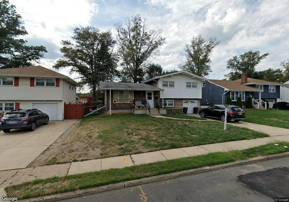
41 Dawes Ave Ewing, NJ 08638
Prospect NeighborhoodEstimated Value: $320,189 - $405,000
Studio
--
Bath
1,419
Sq Ft
$257/Sq Ft
Est. Value
About This Home
This home is located at 41 Dawes Ave, Ewing, NJ 08638 and is currently estimated at $365,047, approximately $257 per square foot. 41 Dawes Ave is a home located in Mercer County with nearby schools including Ewing High School, Paul Robeson Charter School For The Humanities, and Trenton Stem-To-Civics Charter School.
Ownership History
Date
Name
Owned For
Owner Type
Purchase Details
Closed on
Apr 24, 2025
Sold by
Kirk Garrick A and Kirk Kisha L
Bought by
Kirk Kisha L
Current Estimated Value
Purchase Details
Closed on
Feb 24, 2017
Sold by
Mckinney Sean J and Mckinney Denise E
Bought by
Kirk Kisha L and Kirk Garrick
Home Financials for this Owner
Home Financials are based on the most recent Mortgage that was taken out on this home.
Original Mortgage
$171,000
Interest Rate
4.09%
Mortgage Type
New Conventional
Purchase Details
Closed on
Dec 20, 2012
Sold by
Mckinney Sean J
Bought by
Mckinney Sean J
Purchase Details
Closed on
Mar 2, 2010
Sold by
Mckinney Marilyn H
Bought by
Mckinney Sean J
Create a Home Valuation Report for This Property
The Home Valuation Report is an in-depth analysis detailing your home's value as well as a comparison with similar homes in the area
Home Values in the Area
Average Home Value in this Area
Purchase History
| Date | Buyer | Sale Price | Title Company |
|---|---|---|---|
| Kirk Kisha L | -- | None Listed On Document | |
| Kirk Kisha L | -- | None Listed On Document | |
| Kirk Kisha L | $180,000 | Surety Title Co Llc | |
| Mckinney Sean J | -- | None Available | |
| Mckinney Sean J | -- | None Available |
Source: Public Records
Mortgage History
| Date | Status | Borrower | Loan Amount |
|---|---|---|---|
| Previous Owner | Kirk Kisha L | $171,000 |
Source: Public Records
Tax History
| Year | Tax Paid | Tax Assessment Tax Assessment Total Assessment is a certain percentage of the fair market value that is determined by local assessors to be the total taxable value of land and additions on the property. | Land | Improvement |
|---|---|---|---|---|
| 2025 | $7,190 | $182,800 | $57,000 | $125,800 |
| 2024 | $6,758 | $182,800 | $57,000 | $125,800 |
| 2023 | $6,758 | $182,800 | $57,000 | $125,800 |
| 2022 | $6,575 | $182,800 | $57,000 | $125,800 |
| 2021 | $6,414 | $182,800 | $57,000 | $125,800 |
| 2020 | $6,323 | $182,800 | $57,000 | $125,800 |
| 2019 | $6,159 | $182,800 | $57,000 | $125,800 |
| 2018 | $6,259 | $118,500 | $42,100 | $76,400 |
| 2017 | $6,405 | $118,500 | $42,100 | $76,400 |
| 2016 | $6,318 | $118,500 | $42,100 | $76,400 |
| 2015 | $6,234 | $118,500 | $42,100 | $76,400 |
| 2014 | $6,218 | $118,500 | $42,100 | $76,400 |
Source: Public Records
Map
Nearby Homes
- 32 Stoneham Rd
- 7 Mabel St
- 41 Poland St
- 33 Sherbrooke Rd
- 16 Bittersweet Rd
- 56 Sherbrooke Rd
- 17 Hillman Ave
- 124 Hawthorne Ave
- 24 Keswick Ave
- 91 Groveland Ave
- 43 Iowana Ave
- 50 Groveland Ave
- 200 Upland Ave
- 138 Tulip Ln
- 40 Arden Ave
- 23 Sundew Dr
- 4 Blossom Dr
- 120 Sussex St
- 256 Ewingville Rd
- 140 Crescent Ave
Your Personal Tour Guide
Ask me questions while you tour the home.