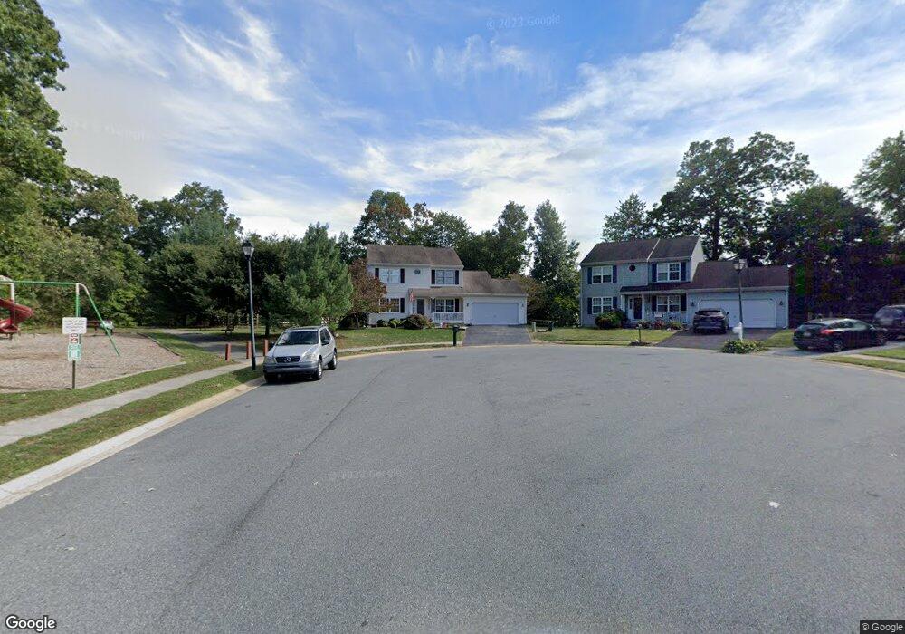
41 Deasy Dr Newark, DE 19702
Estimated Value: $459,000 - $501,000
3
Beds
3
Baths
1,941
Sq Ft
$244/Sq Ft
Est. Value
About This Home
This home is located at 41 Deasy Dr, Newark, DE 19702 and is currently estimated at $473,029, approximately $243 per square foot. 41 Deasy Dr is a home located in New Castle County with nearby schools including Oberle (William) Elementary School, Gauger-Cobbs Middle School, and Glasgow High School.
Ownership History
Date
Name
Owned For
Owner Type
Purchase Details
Closed on
Apr 8, 2025
Sold by
Liberti Erin M and Rankin Erin M
Bought by
Liberti Erin M
Current Estimated Value
Purchase Details
Closed on
Dec 24, 2012
Bought by
Rankin Erin M
Purchase Details
Closed on
Jun 29, 2005
Sold by
Snyder Keith W and Snyder Christina D
Bought by
Rankin Edward R and Rankin Erin M
Home Financials for this Owner
Home Financials are based on the most recent Mortgage that was taken out on this home.
Original Mortgage
$115,000
Interest Rate
5.73%
Mortgage Type
Fannie Mae Freddie Mac
Purchase Details
Closed on
Dec 29, 2000
Sold by
Baldini West Inc
Bought by
Snyder Keith W and Snyder Christina D
Home Financials for this Owner
Home Financials are based on the most recent Mortgage that was taken out on this home.
Original Mortgage
$138,400
Interest Rate
7.69%
Create a Home Valuation Report for This Property
The Home Valuation Report is an in-depth analysis detailing your home's value as well as a comparison with similar homes in the area
Home Values in the Area
Average Home Value in this Area
Purchase History
| Date | Buyer | Sale Price | Title Company |
|---|---|---|---|
| Liberti Erin M | -- | None Listed On Document | |
| Rankin Erin M | $294,900 | -- | |
| Rankin Edward R | $294,900 | -- | |
| Snyder Keith W | $173,195 | -- |
Source: Public Records
Mortgage History
| Date | Status | Borrower | Loan Amount |
|---|---|---|---|
| Previous Owner | Rankin Edward R | $115,000 | |
| Previous Owner | Snyder Keith W | $138,400 | |
| Closed | Snyder Keith W | $17,300 |
Source: Public Records
Tax History
| Year | Tax Paid | Tax Assessment Tax Assessment Total Assessment is a certain percentage of the fair market value that is determined by local assessors to be the total taxable value of land and additions on the property. | Land | Improvement |
|---|---|---|---|---|
| 2024 | $3,643 | $82,900 | $13,000 | $69,900 |
| 2023 | $3,548 | $82,900 | $13,000 | $69,900 |
| 2022 | $3,523 | $82,900 | $13,000 | $69,900 |
| 2021 | $3,448 | $82,900 | $13,000 | $69,900 |
| 2020 | $3,353 | $82,900 | $13,000 | $69,900 |
| 2019 | $3,205 | $82,900 | $13,000 | $69,900 |
| 2018 | $2,907 | $82,900 | $13,000 | $69,900 |
| 2017 | $2,807 | $82,900 | $13,000 | $69,900 |
| 2016 | $2,785 | $82,900 | $13,000 | $69,900 |
| 2015 | $2,547 | $82,900 | $13,000 | $69,900 |
| 2014 | $2,549 | $82,900 | $13,000 | $69,900 |
Source: Public Records
Map
Nearby Homes
- 7 Gull Turn
- 5 Charcoal Ct
- 1916 Bellac Way
- 13 Christina Woods Ct
- 251 E Flagstone Dr
- 53 Whitson Dr
- 1863 Bergerac Ct
- 1858 Bergerac Ct
- 12 Heron Ct
- 111 Tuckahoe Ln
- 110 Auckland Dr
- 208 Yosemite Dr
- 11 Rossiter Cir
- 18 Kings Bridge Ct
- 6 Old Fence Ln
- 1944 Spearfish Ct
- 433 Pierce Run
- 128 Darling St
- 110 Hawk Dr
- 204 Finch Way
Your Personal Tour Guide
Ask me questions while you tour the home.