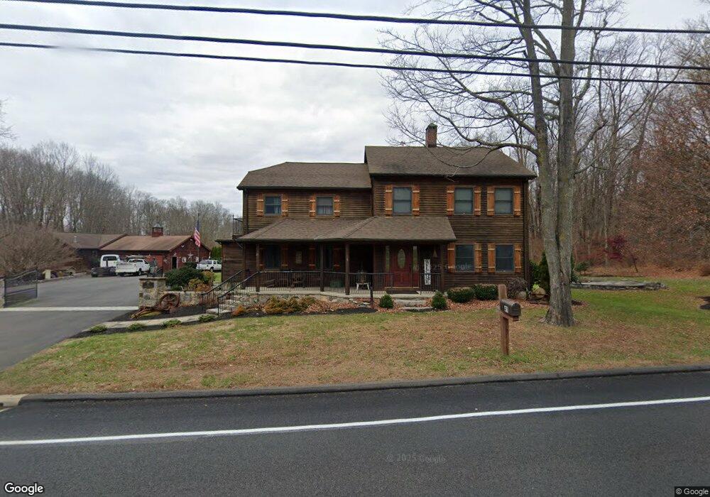
41 Dodgingtown Rd Bethel, CT 06801
Estimated Value: $749,000 - $1,227,000
3
Beds
3
Baths
3,053
Sq Ft
$312/Sq Ft
Est. Value
About This Home
This home is located at 41 Dodgingtown Rd, Bethel, CT 06801 and is currently estimated at $953,199, approximately $312 per square foot. 41 Dodgingtown Rd is a home located in Fairfield County with nearby schools including R.M.T. Johnson School, Bethel Middle School, and Bethel High School.
Ownership History
Date
Name
Owned For
Owner Type
Purchase Details
Closed on
Jul 26, 2013
Sold by
Pierce Bruce A and Pierce Carolyn A
Bought by
Draper Timorthy
Current Estimated Value
Purchase Details
Closed on
Mar 1, 2012
Sold by
Soltes Gwendolyn
Bought by
Bruce Pierce Const Llc
Purchase Details
Closed on
Jul 31, 1996
Sold by
Kline Jule A
Bought by
Pierce Bruce and Pierce Carolyn
Create a Home Valuation Report for This Property
The Home Valuation Report is an in-depth analysis detailing your home's value as well as a comparison with similar homes in the area
Home Values in the Area
Average Home Value in this Area
Purchase History
| Date | Buyer | Sale Price | Title Company |
|---|---|---|---|
| Draper Timorthy | -- | -- | |
| Bruce Pierce Const Llc | -- | -- | |
| Pierce Bruce | $160,000 | -- |
Source: Public Records
Mortgage History
| Date | Status | Borrower | Loan Amount |
|---|---|---|---|
| Previous Owner | Pierce Bruce | $181,000 | |
| Previous Owner | Pierce Bruce | $200,000 | |
| Previous Owner | Pierce Bruce | $250,000 |
Source: Public Records
Tax History Compared to Growth
Tax History
| Year | Tax Paid | Tax Assessment Tax Assessment Total Assessment is a certain percentage of the fair market value that is determined by local assessors to be the total taxable value of land and additions on the property. | Land | Improvement |
|---|---|---|---|---|
| 2025 | $23,284 | $765,660 | $297,360 | $468,300 |
| 2024 | $22,334 | $765,660 | $297,360 | $468,300 |
| 2023 | $21,768 | $765,660 | $297,360 | $468,300 |
| 2022 | $21,666 | $626,360 | $297,360 | $329,000 |
| 2021 | $21,459 | $626,360 | $297,360 | $329,000 |
| 2020 | $21,133 | $626,360 | $297,360 | $329,000 |
| 2019 | $20,927 | $626,360 | $297,360 | $329,000 |
| 2018 | $20,588 | $626,360 | $297,360 | $329,000 |
| 2017 | $18,847 | $573,200 | $227,330 | $345,870 |
| 2016 | $18,440 | $573,200 | $227,330 | $345,870 |
| 2015 | $18,446 | $573,200 | $227,330 | $345,870 |
| 2014 | $18,405 | $573,200 | $227,330 | $345,870 |
Source: Public Records
Map
Nearby Homes
- 2 Honey Hollow Dr
- 6 Windaway Rd
- 25 Wolfpits Rd
- 10 Buckboard Ridge
- 2 Judd Ave
- 62 Codfish Hill Rd
- 4 Winthrop Rd
- 66 Putnam Park Rd
- 37 Whittlesey Dr
- 3 Terry Dr
- 6 Katrina Cir
- 4 Stone Dam Rd
- 2 Chestnut St
- 95 Chestnut St Unit D
- 113 Codfish Hill Rd
- 62 Old Hawleyville Rd
- 12 Eagle Rock Hill Unit 12
- 51 Kingswood Dr
- 48 & 50 Nashville Rd
- 66 Nashville Rd Unit L
- 38 Dodgingtown Rd
- 1 Wolfpits Rd
- 42 Dodgingtown Rd
- 43 Dodgingtown Rd
- 44 Dodgingtown Rd
- 31 Dodgingtown Rd
- 3A Wolfpits Rd
- 3 Wolfpits Rd
- 4 E Brook Ct
- 8 Old Lantern Dr
- 4 Wolfpits Rd
- 2 Wolfpits Rd
- 45 Dodgingtown Rd
- 1 Taylor Rd
- 3 Taylor Rd
- 6 Wolfpits Rd
- 2 Taylor Rd Unit A
- 6 E Brook Ct
- 2A Taylor Rd
- 50 Dodgingtown Rd