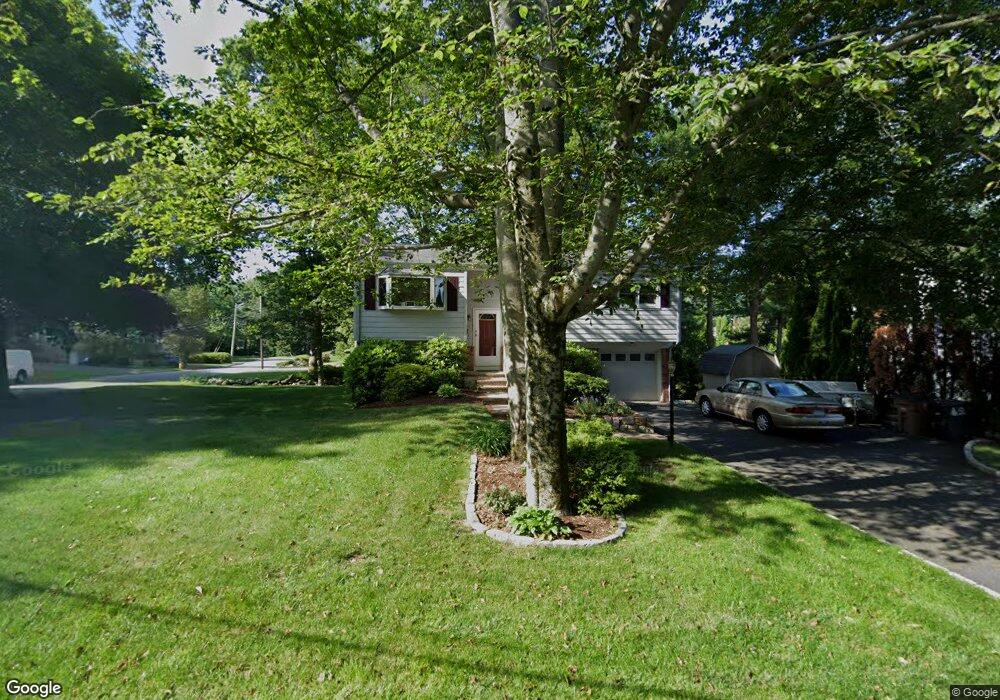
41 Donata Ln Stamford, CT 06905
Turn of the River-Newfield NeighborhoodEstimated Value: $770,027 - $812,000
3
Beds
2
Baths
1,796
Sq Ft
$440/Sq Ft
Est. Value
About This Home
This home is located at 41 Donata Ln, Stamford, CT 06905 and is currently estimated at $789,507, approximately $439 per square foot. 41 Donata Ln is a home located in Fairfield County with nearby schools including Davenport Ridge Elementary School, Rippowam Middle School, and Stamford High School.
Ownership History
Date
Name
Owned For
Owner Type
Purchase Details
Closed on
Mar 6, 2018
Sold by
Falotico John
Bought by
Falotico John and Kane Mary
Current Estimated Value
Purchase Details
Closed on
Jan 31, 1994
Sold by
Braun Linda H
Bought by
Falotico John and Falotico Jean Marie
Purchase Details
Closed on
Jun 19, 1990
Sold by
Berson Evan
Bought by
Braun Keith
Create a Home Valuation Report for This Property
The Home Valuation Report is an in-depth analysis detailing your home's value as well as a comparison with similar homes in the area
Home Values in the Area
Average Home Value in this Area
Purchase History
| Date | Buyer | Sale Price | Title Company |
|---|---|---|---|
| Falotico John | -- | -- | |
| Falotico John | -- | -- | |
| Falotico John | $248,500 | -- | |
| Falotico John | $248,500 | -- | |
| Braun Keith | $255,000 | -- |
Source: Public Records
Mortgage History
| Date | Status | Borrower | Loan Amount |
|---|---|---|---|
| Previous Owner | Braun Keith | $370,000 | |
| Previous Owner | Braun Keith | $335,000 | |
| Previous Owner | Braun Keith | $175,000 |
Source: Public Records
Tax History Compared to Growth
Tax History
| Year | Tax Paid | Tax Assessment Tax Assessment Total Assessment is a certain percentage of the fair market value that is determined by local assessors to be the total taxable value of land and additions on the property. | Land | Improvement |
|---|---|---|---|---|
| 2025 | $9,612 | $406,260 | $260,890 | $145,370 |
| 2024 | $9,401 | $406,260 | $260,890 | $145,370 |
| 2023 | $10,100 | $406,260 | $260,890 | $145,370 |
| 2022 | $8,776 | $328,200 | $203,000 | $125,200 |
| 2021 | $8,681 | $328,200 | $203,000 | $125,200 |
| 2020 | $8,458 | $328,200 | $203,000 | $125,200 |
| 2019 | $8,458 | $328,200 | $203,000 | $125,200 |
| 2018 | $8,146 | $328,200 | $203,000 | $125,200 |
| 2017 | $7,958 | $306,080 | $188,970 | $117,110 |
| 2016 | $7,735 | $306,080 | $188,970 | $117,110 |
| 2015 | $7,533 | $306,080 | $188,970 | $117,110 |
| 2014 | $7,282 | $306,080 | $188,970 | $117,110 |
Source: Public Records
Map
Nearby Homes
- 34 Bradley Place
- 14 Barmore Dr
- 56 Bradley Place
- 38 Lancaster Place
- 27 Emma Rd
- 21 Nichols Ave
- 7 the Reserve at Sterling Ridge
- 113 Wood Ridge Dr
- 160 Wire Mill Rd
- 31 Rosano Rd
- 6 Walnut Ridge Ct
- 12 Walnut Ridge Ct
- 433 High Ridge Rd
- 393 Upper Haig Ave
- 31 Gray Farms Rd
- 400 Wire Mill Rd
- 31 Woodridge Dr S
- 122 Brook Run Ln
- 22 Hastings Ln
- 44 Brundage St