41 Dorethy Rd Redding, CT 06896
Estimated Value: $2,259,361 - $2,990,000
5
Beds
8
Baths
7,214
Sq Ft
$372/Sq Ft
Est. Value
About This Home
This home is located at 41 Dorethy Rd, Redding, CT 06896 and is currently estimated at $2,681,840, approximately $371 per square foot. 41 Dorethy Rd is a home located in Fairfield County with nearby schools including Redding Elementary School, John Read Middle School, and Joel Barlow High School.
Ownership History
Date
Name
Owned For
Owner Type
Purchase Details
Closed on
Nov 27, 2018
Sold by
Timothy T Mccaffrey Re and Mccaffrey
Bought by
Bb Ret and Mccaffrey
Current Estimated Value
Home Financials for this Owner
Home Financials are based on the most recent Mortgage that was taken out on this home.
Original Mortgage
$1,240,000
Outstanding Balance
$1,094,647
Interest Rate
4.9%
Mortgage Type
Purchase Money Mortgage
Estimated Equity
$1,587,193
Purchase Details
Closed on
Jun 12, 2012
Sold by
Mccaffrey Timothy
Bought by
Timothy T Mccaffrey Re and Mccaffrey
Create a Home Valuation Report for This Property
The Home Valuation Report is an in-depth analysis detailing your home's value as well as a comparison with similar homes in the area
Home Values in the Area
Average Home Value in this Area
Purchase History
| Date | Buyer | Sale Price | Title Company |
|---|---|---|---|
| Bb Ret | $1,570,000 | -- | |
| Timothy T Mccaffrey Re | -- | -- | |
| Bb Ret | $1,570,000 | -- | |
| Timothy T Mccaffrey Re | -- | -- |
Source: Public Records
Mortgage History
| Date | Status | Borrower | Loan Amount |
|---|---|---|---|
| Open | Timothy T Mccaffrey Re | $1,240,000 | |
| Closed | Timothy T Mccaffrey Re | $1,240,000 |
Source: Public Records
Tax History
| Year | Tax Paid | Tax Assessment Tax Assessment Total Assessment is a certain percentage of the fair market value that is determined by local assessors to be the total taxable value of land and additions on the property. | Land | Improvement |
|---|---|---|---|---|
| 2025 | $52,472 | $1,776,300 | $179,400 | $1,596,900 |
| 2024 | $47,802 | $1,664,400 | $179,400 | $1,485,000 |
| 2023 | $46,087 | $1,664,400 | $179,400 | $1,485,000 |
| 2022 | $41,815 | $1,254,200 | $183,200 | $1,071,000 |
| 2021 | $41,188 | $1,254,200 | $183,200 | $1,071,000 |
| 2020 | $41,188 | $1,254,200 | $183,200 | $1,071,000 |
| 2019 | $41,188 | $1,254,200 | $183,200 | $1,071,000 |
| 2018 | $39,783 | $1,254,200 | $183,200 | $1,071,000 |
| 2017 | $40,073 | $1,352,900 | $199,500 | $1,153,400 |
| 2016 | $39,559 | $1,352,900 | $199,500 | $1,153,400 |
| 2015 | $39,112 | $1,352,900 | $199,500 | $1,153,400 |
| 2014 | $39,112 | $1,352,900 | $199,500 | $1,153,400 |
Source: Public Records
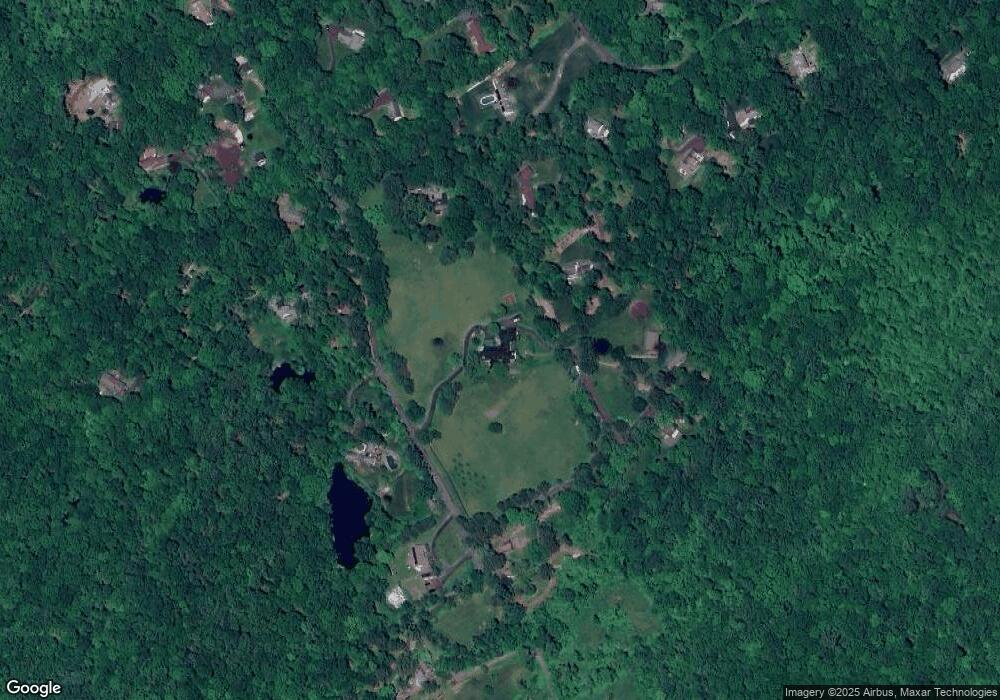
Map
Nearby Homes
- 22 Ledgewood Rd
- 299 Redding Rd
- 219 Redding Rd
- 123A Peaceable St
- 36 Fox Run Rd
- 30 Highland Ave
- 64 Portland Ave
- 74 Seventy Acre Rd
- 19 Mine Hill Rd
- 0 Mountain Rd
- 41 Deer Hill Rd
- 0 Old Mill Rd
- 45 Great Pasture Rd
- 852 Danbury Rd
- 26 Wilridge Rd
- 53 Singing Oaks Dr
- 00 Old Mill Rd
- 15 Laurel Hill Rd
- 229 Umpawaug Rd
- 9 Woods End Ln
Your Personal Tour Guide
Ask me questions while you tour the home.