41 Dunstable Rd Southampton, NJ 08088
Estimated Value: $296,000 - $338,724
--
Bed
--
Bath
1,714
Sq Ft
$180/Sq Ft
Est. Value
About This Home
This home is located at 41 Dunstable Rd, Southampton, NJ 08088 and is currently estimated at $309,181, approximately $180 per square foot. 41 Dunstable Rd is a home located in Burlington County with nearby schools including Southampton Twp School No 1, Southampton Twp School No 2, and Southampton Twp School No 3.
Ownership History
Date
Name
Owned For
Owner Type
Purchase Details
Closed on
Jul 25, 2025
Sold by
Walker Dorothy V and Niessner Andrea Walker
Bought by
Johnson Bonnie L
Current Estimated Value
Purchase Details
Closed on
May 20, 1995
Sold by
Brown Lorna
Bought by
Walker Howard C and Walker Dorothy
Create a Home Valuation Report for This Property
The Home Valuation Report is an in-depth analysis detailing your home's value as well as a comparison with similar homes in the area
Home Values in the Area
Average Home Value in this Area
Purchase History
| Date | Buyer | Sale Price | Title Company |
|---|---|---|---|
| Johnson Bonnie L | $295,000 | Surety Title | |
| Johnson Bonnie L | $295,000 | Surety Title | |
| Walker Howard C | $115,000 | Congress Title Division |
Source: Public Records
Tax History Compared to Growth
Tax History
| Year | Tax Paid | Tax Assessment Tax Assessment Total Assessment is a certain percentage of the fair market value that is determined by local assessors to be the total taxable value of land and additions on the property. | Land | Improvement |
|---|---|---|---|---|
| 2025 | $4,691 | $142,200 | $42,700 | $99,500 |
| 2024 | $4,518 | $142,200 | $42,700 | $99,500 |
| 2023 | $4,518 | $142,200 | $42,700 | $99,500 |
| 2022 | $4,358 | $142,200 | $42,700 | $99,500 |
| 2021 | $3,892 | $142,200 | $42,700 | $99,500 |
| 2020 | $4,169 | $142,200 | $42,700 | $99,500 |
| 2019 | $4,080 | $142,200 | $42,700 | $99,500 |
| 2018 | $3,984 | $142,200 | $42,700 | $99,500 |
| 2017 | $3,749 | $142,200 | $42,700 | $99,500 |
| 2016 | $3,663 | $142,200 | $42,700 | $99,500 |
| 2015 | $3,540 | $142,200 | $42,700 | $99,500 |
| 2014 | $3,406 | $142,200 | $42,700 | $99,500 |
Source: Public Records
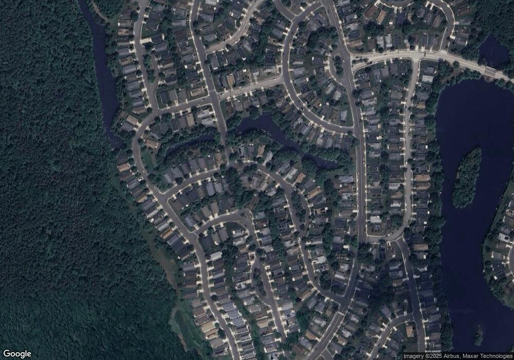
Map
Nearby Homes
- 33 Dunstable Rd
- 29 Dunstable Rd
- 48 Dunstable Rd
- 36 Cotherstone Dr
- 25 Dunstable Rd
- 19 Dunstable Rd
- 9 Mayfair Rd
- 10 Dunstable Rd
- 21 Westminster Dr S
- 1 Westminster Dr S
- 66 Westminster Dr S
- 14 Burtons Dr
- 248 Huntington Dr
- 37 Stratford Rd
- 985 Westminster Dr N
- 240 Huntington Dr
- 68 Finchley Ct
- 5 Dutchess Ct
- 47 Chatham Place
- 9 Dutchess Ct
- 45 Dunstable Rd
- 37 Dunstable Rd
- 49 Dunstable Rd
- 42 Dunstable Rd
- 44 Dunstable Rd
- 38 Dunstable Rd
- 46 Dunstable Rd
- 38 Cotherstone Dr
- 44 Cotherstone Dr
- 36 Dunstable Rd
- 51 Dunstable Rd
- 34 Dunstable Rd
- 46 Cotherstone Dr
- 32 Dunstable Rd
- 50 Dunstable Rd
- 48 Cotherstone Dr
- 34 Cotherstone Dr
- 37 Cotherstone Dr
- 30 Dunstable Rd
- 52 Dunstable Rd